| home:u.s. highpoints:clingman's dome | site map | navigation help |
| Clingman's Dome (TN) |
Clingman's Dome (TN)
Elevation: 6,643 ft
Date: 4 days, July 27-30, 2003
Group Size: Solo
Miles Covered: 48
Difficulty: Strenuous
Scenery: Nice view from the tower
This was my second time in the Smokies, but this time I had a purpose - to scale the second highest state mountain on the east coast. At 6644 feet, Clingman's Dome is only 40 feet shorter than North Carolina's Mount Mitchell. This time, I managed to camp in my designated campsites (more-or-less). Click here for the map. My campsites are marked by the red circles. I parked at Elkmont and started by heading for campsite #30.
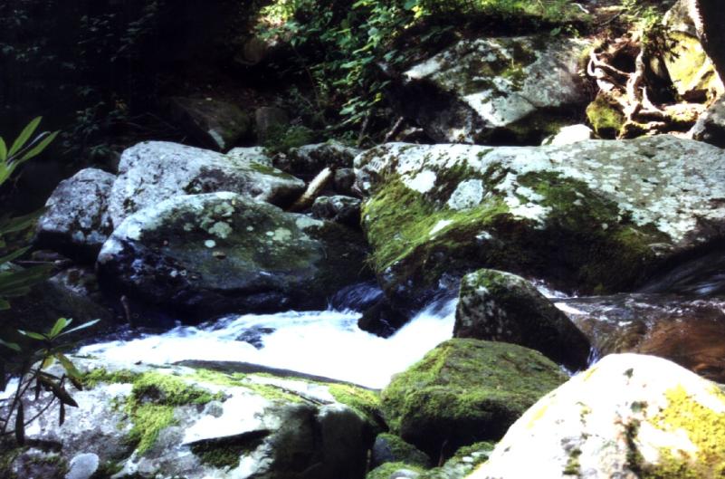
I learned a lesson on the Furnace Mountain trip and I brought sandals this time. Just the first day I had to put them on at least five times, as many creeks didn't have any bridges across. Here is a little waterfall in on of those angle-deep creeks.
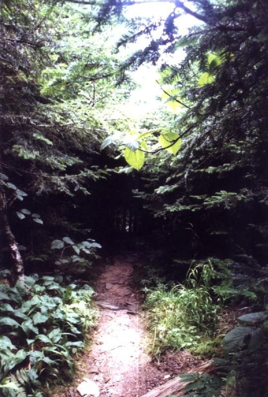
The forest here is so thick, that the trail often led through dark tunnels like this one
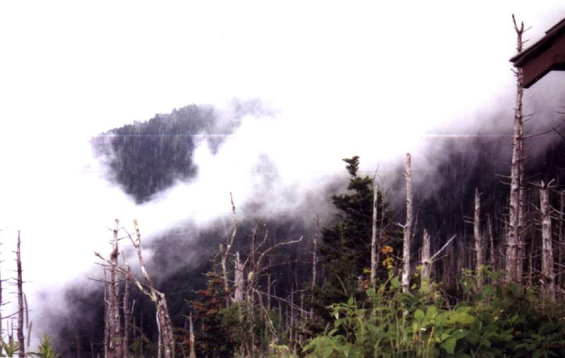
Smoky mountains doing what they are known for: smokin'!
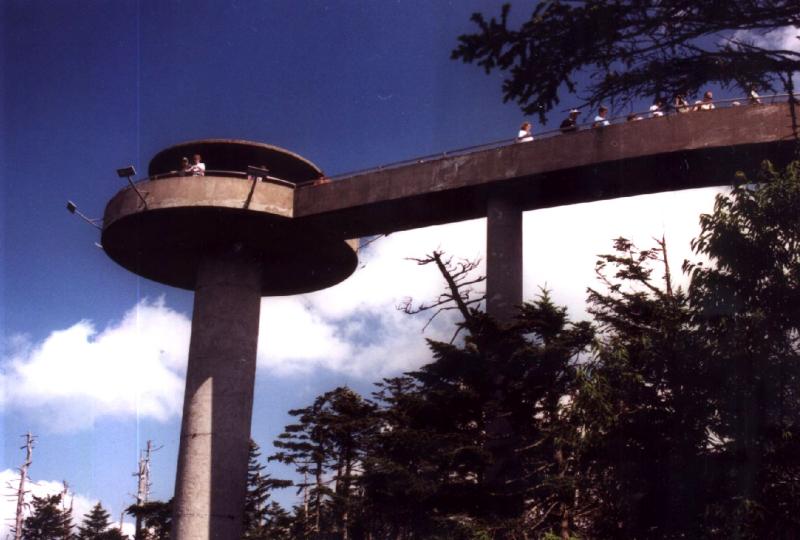
The trees on the summit block the view, and thus this tower was built. The view from the top was really great, but as far as the tower design goes, that's another story! The tower looks like a giant waterslide from the distance.
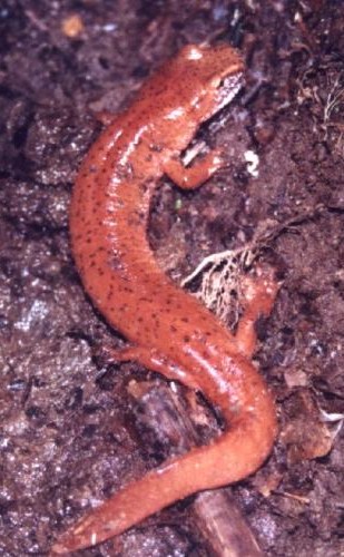
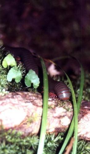
I saw some neat animals, like this salamander and this caterpillar (or whatever this is, biology is not my strong subject...) I also saw a bear some 20 feet away.
This trip was supposed to be a little warm-up for my upcoming Shenandoah hike. However, it should have been the other way around! I started walking on my second day at 7 am, and didn't get to the camp 'till 7 pm! I covered some 18 miles that day. Most of them (at least until 5 pm, when I finally reached the summit) were uphill. My legs hurt really bad! Then the next day, I had to head up to the summit again, where I picked up the AT and followed it along the ridge to my third campsite.