| home:u.s. highpoints:eagle mountain | site map | navigation help |
|
Eagle Mountain (MN) |
Elevation: 2301 ft
Date: May 27th, 2009
Group Size: 1
Miles Covered: 6
Difficulty: Flat most of the way with a steep section near the summit.
Scenery: Lakes, marsh, creek and a great view from near the top
Back across the border from Iowa, I stopped in a grocery store called Hy-Vee. What a funny name. It sounds more like some exotic disease than a food store. Here I picked up snacks and a calzone for lunch - by now I was pretty tired of fast food. It was not until this stop that I realized that people in Minnesota really do speak funny! They also have interesting radio ads: "had I known that drinking that one beer behind the bushes at school when I was 13 would ruin my future" and "Aquacide - rhymes with homicide. Even peace activists approve!" These were followed by some generic warning not to open door to pretty much anyone to avoid home invasions.
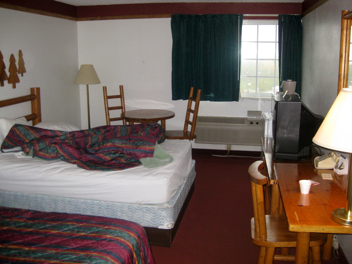
Appropriately decorated room in Deluth's Red Roof Inn.
That day I only made it to Deluth. I had plans to camp, but the 45F highs quickly made me reconsider. I found a great hotel, the Red Roof Inn. The rooms were decorated with wooden furniture, which was quite fitting. The hotel also had a sauna and a jacuzzi, and a common room with a fireplace (which wasn't on, however). The next morning I drove up highway 61 to the town of Lutsen. The turn off for the trailhead is on the east side of town. The ~20 mile drive was on a paved road for the first ~5 miles, and then on a good gravel road.
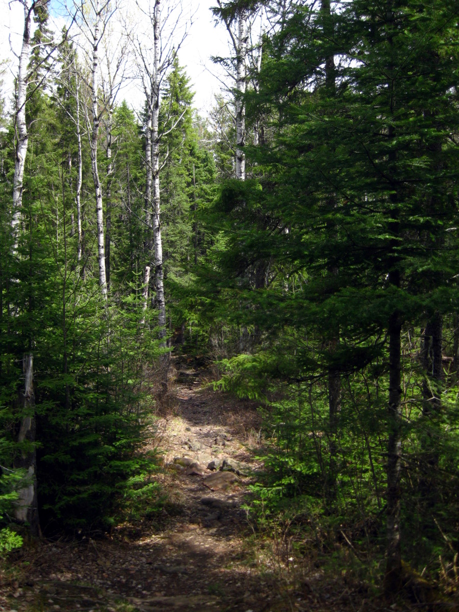
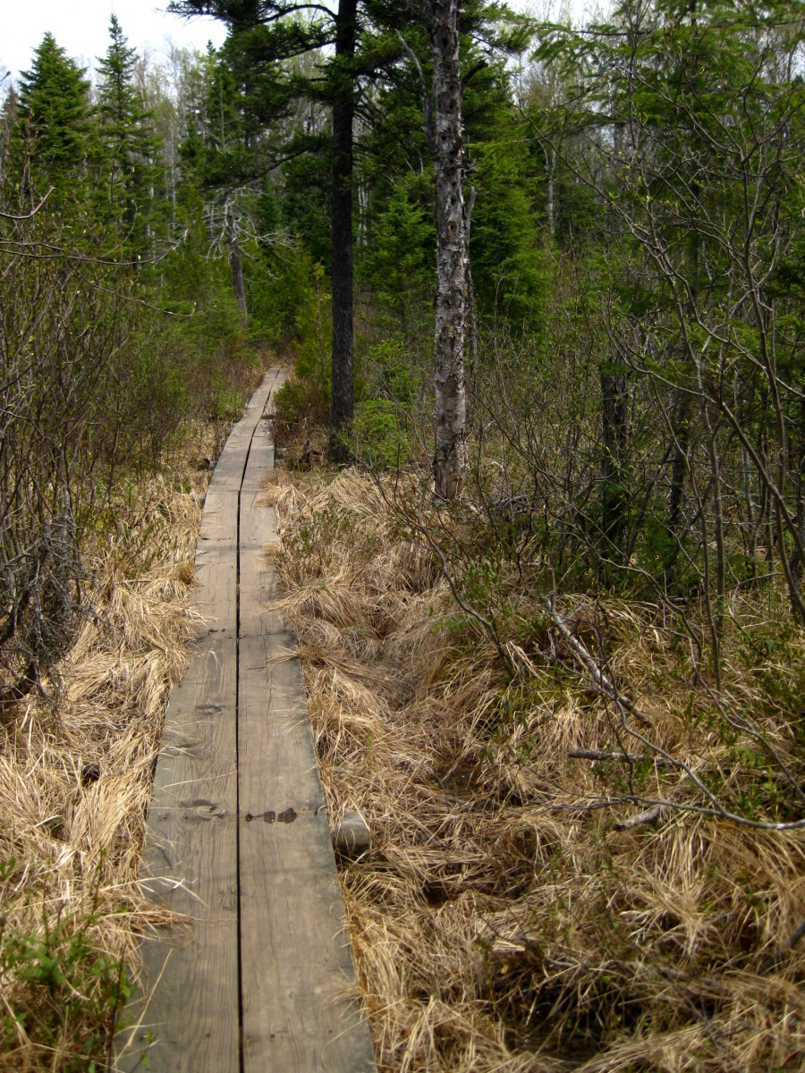
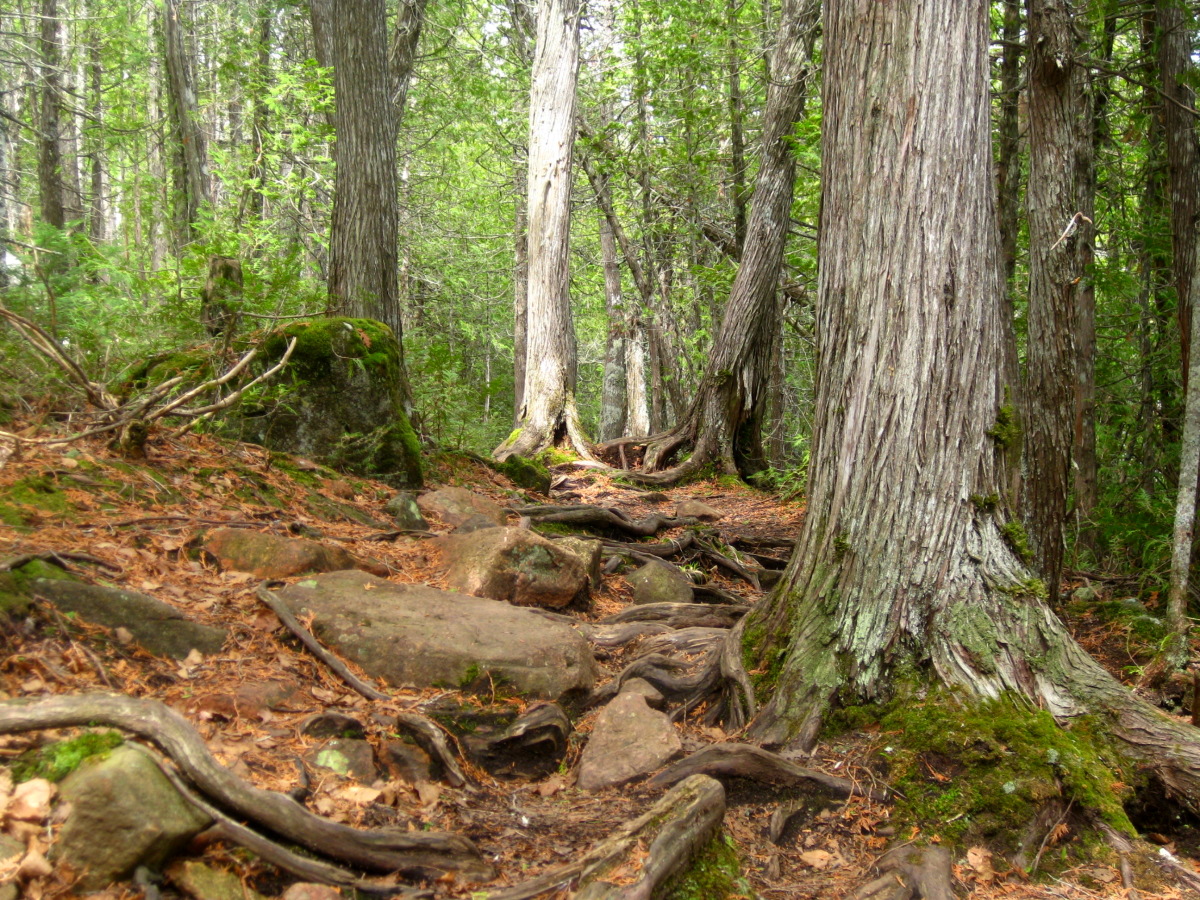
Trail through the woods, and one of the several walkways over marshy land.
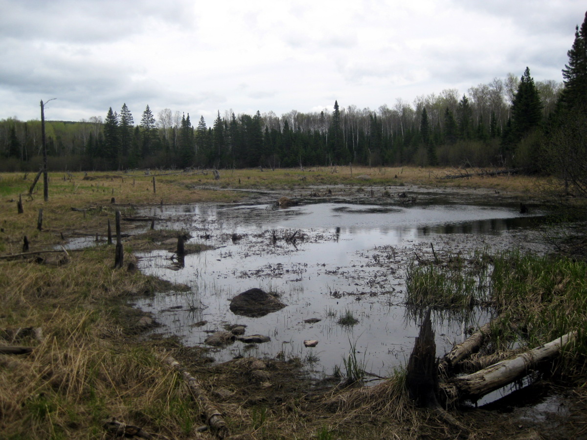
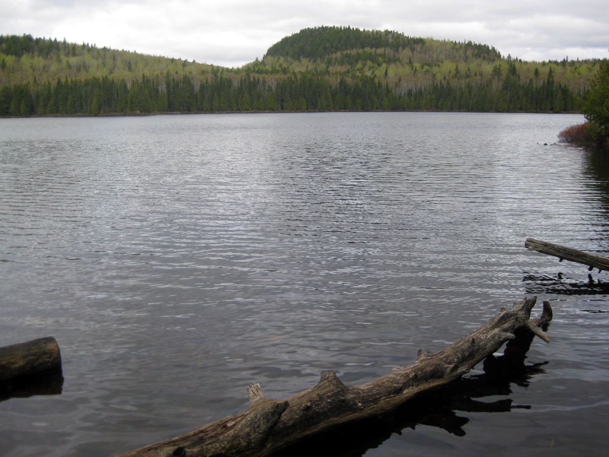
Two of the state's 1000 lakes
The summit is located about 3 miles from the parking lot. The trail is flat, but also rocky. I heard stories about mosquitos (the state bird, as I found out from Sarah), but they were nowhere to be seen. I guess they knew better than to come out on this cold day.
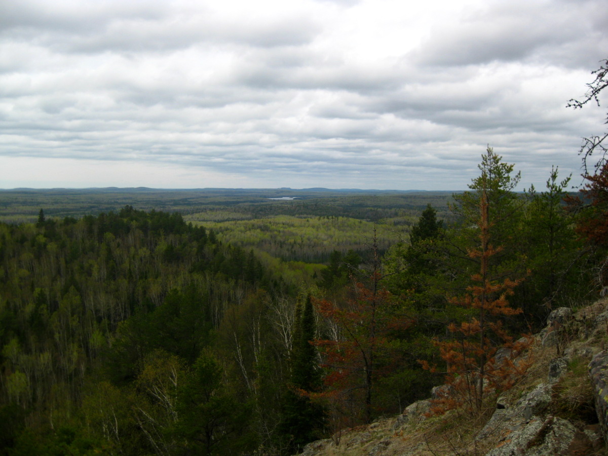
The trail picks up grade in the last 1/2 mile, leading to a great vista.
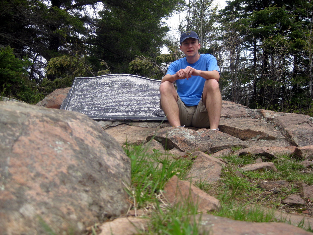
Here I am on the summit.

There was a road construction on highway 61. The flaggers were decked out from head to toe in bright yellow.
The whole hike took me about 2 hours. I was going pretty fast, and passed several groups on the way. I think I got back in my car around 11, and started driving towards Michigan's highpoint. On the way, I continued listening to the adventures of 11-year old Michael and his alcoholic father on their way to California in Michael C. Keith's 'Next Better Place'. That Mike guy surely found a good share of sexual derelicts on his travel! This was a great find. I also brought along Thomas Cahill's 'Sailing the Wine Dark Sea'. It was also a good read (listen?) on the seeds of modern culture that were planted by the ancient Greeks.