| home:u.s. highpoints:mount frissell (CT) | site map | navigation help |
|
Mount Frissell (CT) |
Elevation: 2,380 ft
Date: October 21st, 2005
Group Size: 2
Miles Covered: 2.5
Difficulty: Quite a bit of rock scrambling
Scenery: Definitely got lucky with timing: foliage was awesome
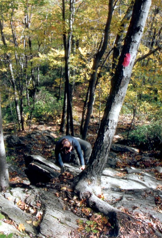
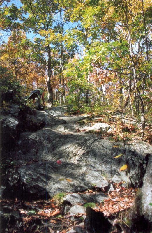
Living on the west coast definitely can make somebody spoiled. I mean, how bad can a 2000 foot mountain be? Well, in case of Mount Frissell, it can be surprisingly difficult. The hike starts off at a parking lot near the MA/CT border on the Mt. Riga dirt road. The hike starts of pretty flat. However, some 15 minutes into the hike, you arrive at a rock wall, which makes you realize why the Wingers put CT in Class 2. Going up these rocks was actually a lot of fun, but it was definitely tiring. In winter, this hike would make for a pretty decent climb.
Going up Frissell requires quite a bit of scrambling
The folliage was unbelievable. It turns out, we arrived right during the peak color time. Furthermore, the weather was great. Northeast just started recovering from a series of rains, which brought with them severe flooding. Forecast for rest of the week called for more rain, but today, the sun was shining.
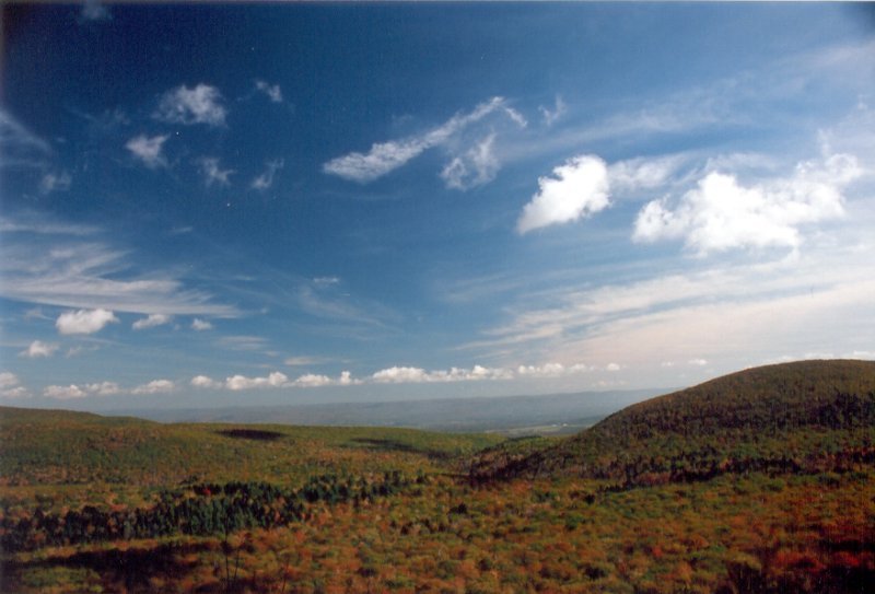
Really neat view into the colorful valleys from Round Mountain
This hike started by making it up Round Mountain. After a short descent into a valley, we headed up to Mount Frissell. However, the summit of Mount Frissell is not the highpoint of Connecticut, since the actual summit lies in MA. Hence, we actually had to \emph{descend} slightly from the top of Mount Frissell to reach the highpoint. It is marked by a little metal pipe, and a big rock cairn. From here, it was only about 10 additional minutes to arrive at a tristate junction, where CT, MA and NY meet.
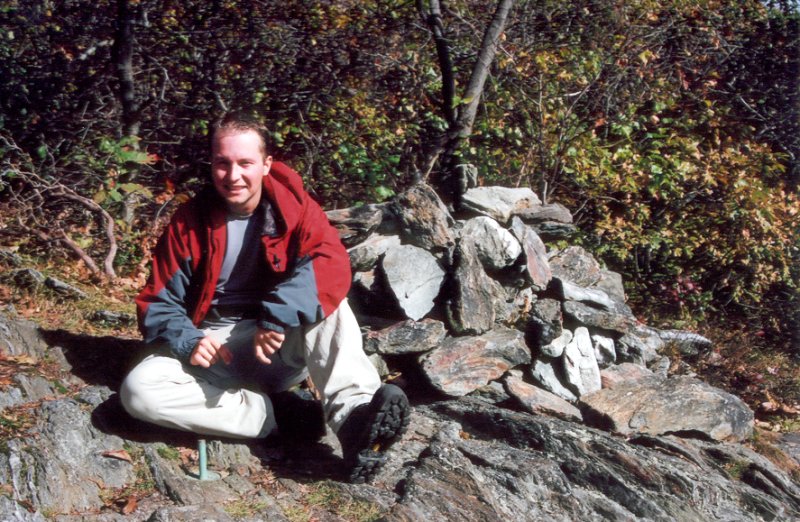
Highest point in Connecticut: a state line marker on the slope of Mount Frissell
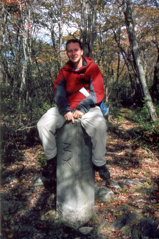
NY/MA/CT tristate marker, about 10 minutes past the highpoint

Pond near the northern end of Mt. Riga road