| home:u.s. highpoints:hoosier hill | site map | navigation help |
|
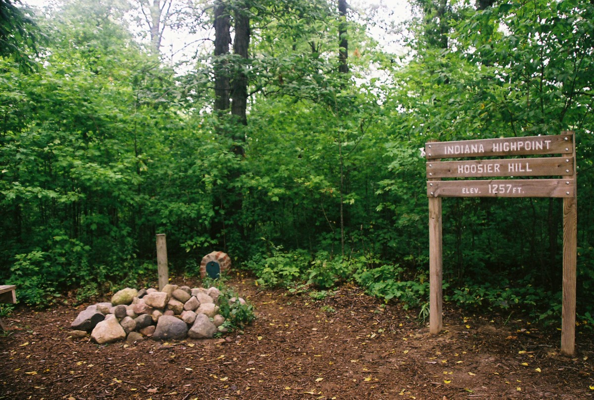
Hoosier Hill (IN) |
Elevation: 1,257 ft
Date: July 28th, 2007
Group Size: 1
Miles Covered: Very short walk
Difficulty: Drive up
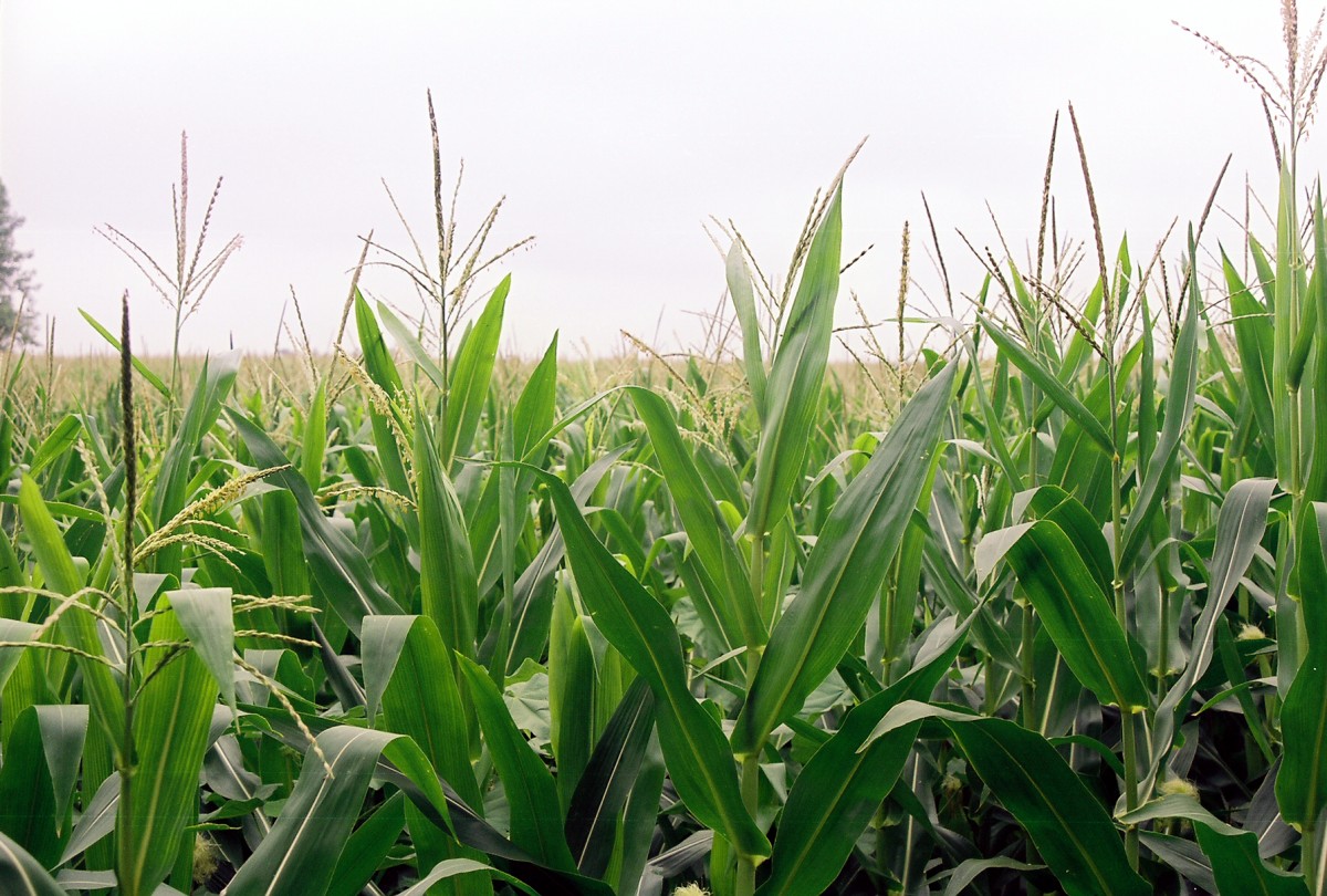
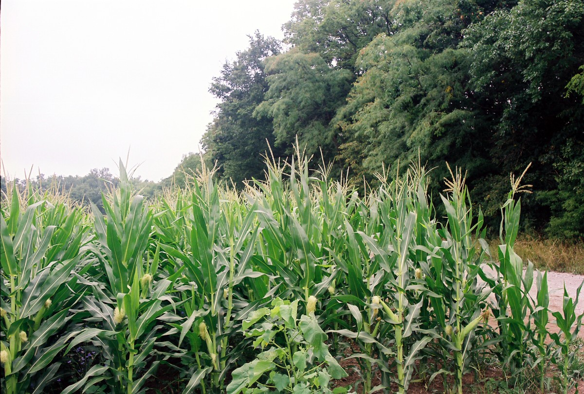
Scenery: Lots of corn
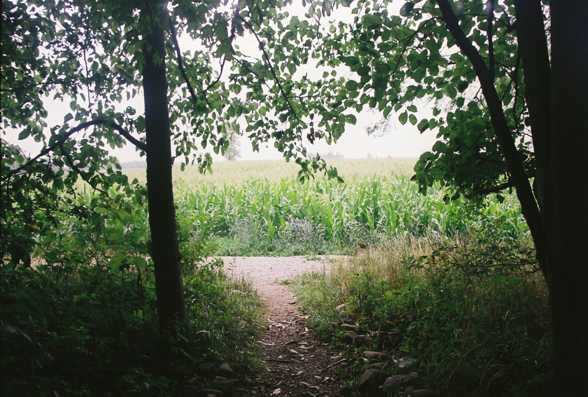
I came to Hoosier Hill from the highpoint of Ohio. The highpoint is a forested hill located on a privately owned corn field. I pulled off the road and walked few hundred feet until the summit sign.
The highpoint is located in this wooded area.
Summit plaque and the view back to the corn field.
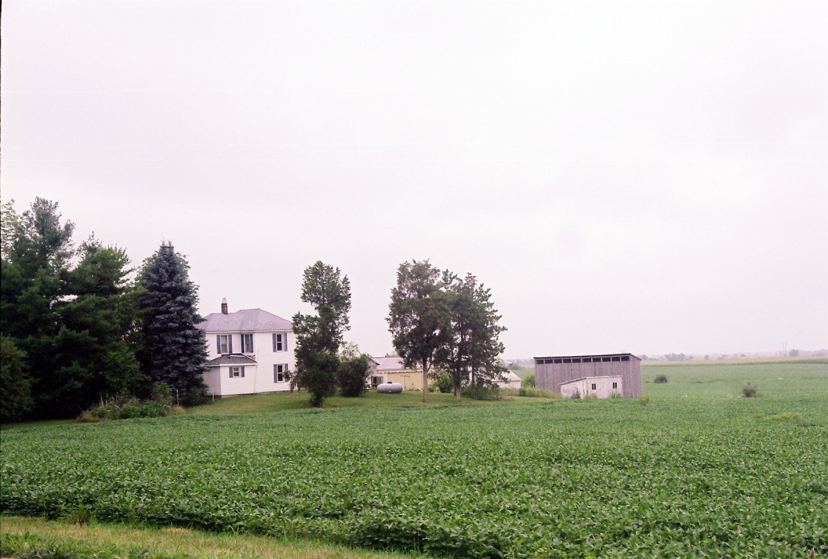
And few more scenery shots: corn (it's everywhere!) and the owner's house.
I next continued to Moline, IA, the staging ground for a Sunday visit to Charles Mound.