| home:u.s. highpoints:mount katahdin (ME) | site map | navigation help |
|
Mount Katahdin (ME) |
Elevation: 5,267 ft
Date: September 3rd, 2006
Group Size: 4
Miles Covered: 10
Difficulty: A really fun scramble
Scenery: Lakes and trees and grass, boy do I miss you!
Whoo-hoo, the last remaining North East highpoint has been conquered. The huge gaping hole in the right top corner of my highpoint map is no more. Good job, us! Ok, so this isn't as much of an accomplishment as if I had started at, let's say, the Springer Mountain, GA, but nevertheless, it's done.
I was joined on this hike by Shannon and her friends Ben and Amy. Ben is a computer programmer with a goal of running a marathon in every state. Amy is studying to be a lung doctor. She also climbs rocks. We left Boston at around 10am, and slowly made it through the holiday traffic crunch to the Baxter State Park. This park prides itself in a wide range of rules, of which the most significant is the one limiting access after the trailhead parking lots fill up. The result is a long line of cars forming at the entrance gate as early as 4 am, hour or two before the park opens. I guess it's like trying to get into some VIP club. One way of bypassing this morning commute, is by camping in one of park's campsites. I had a reservation, but it was only for two people. Of course, another rule prohibits bringing more people than what is listed on the reservation. Shannon inquired few days earlier about availability of another site but was told that there were none left. Well, we decided to press our luck and ask again. I worried that such a question will be deemed as a violation of some other rule, and that our car will get torched, and that we plus our future children will be banned from ever returning to the park again. However, to our great surprise, there was another slot open at the Nesowadnehunk campground.
Here we are: Amy, Ben and Shannon, heading up the Abol Trail before the sunrise.
On the way in we passed a whole bunch of runners. Later we found out that these were participating in the annual Penobscot spirit run. The campsite was big enough to hold two tents, and so we all stayed in the same site. The original plan was to attack the mountain on the famous Knife Edge trail from the Chimney Pond. This trail starts by the Roaring Brook campsite, which is on the side of the mountain opposite from Nesowadnehunk. The only access is by making the hour-long return trip on the unpaved road back to the entrance gate, followed by another long drive to the trailhead. Doing this we would risk being denied access had we gotten to the gate after the floodgates were set open. So instead, we settled for the Abol trail, which from the map looked to be interestingly steep. That was just what we wanted, because as we were told, the man is born to die!
Oh geez, I wonder which way is the summit!?
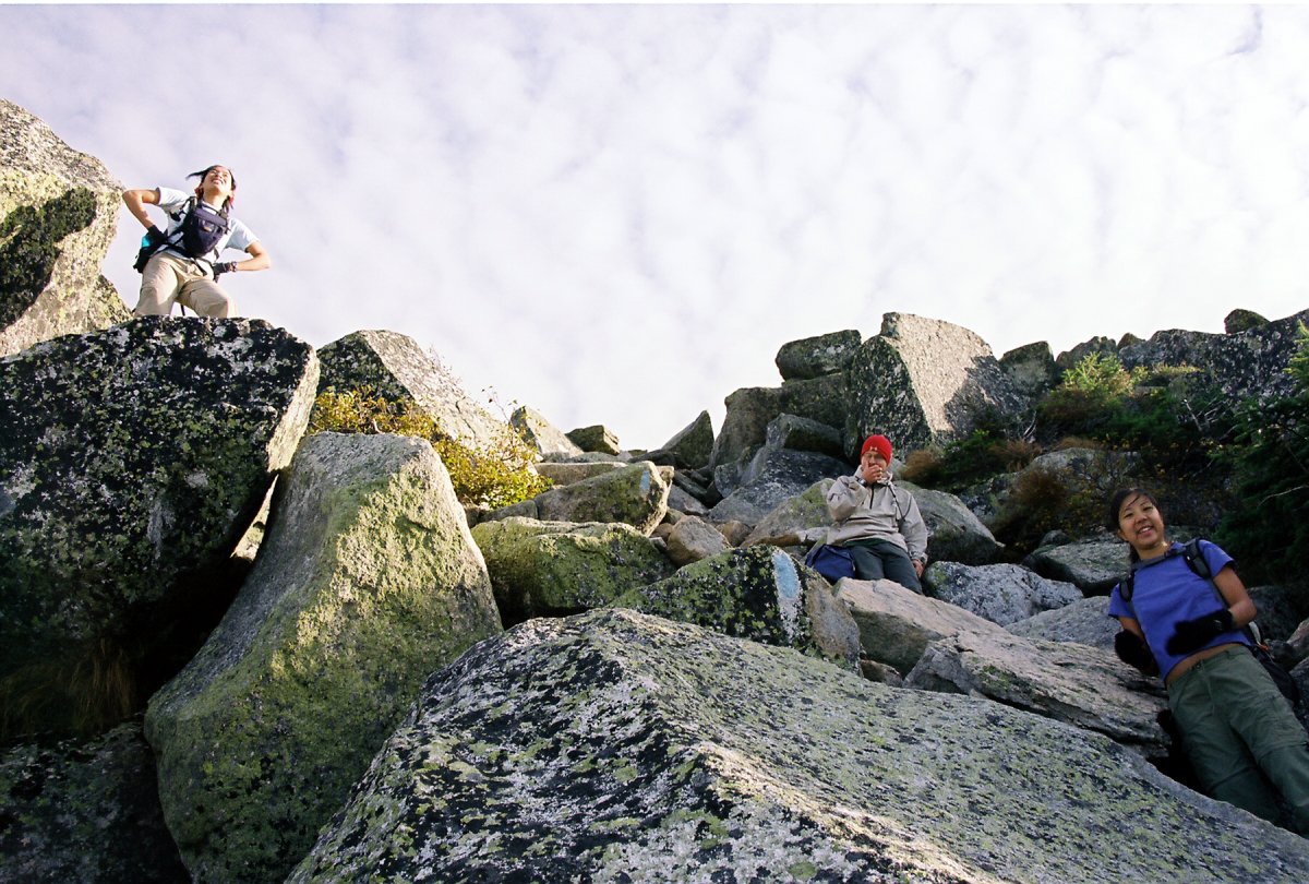
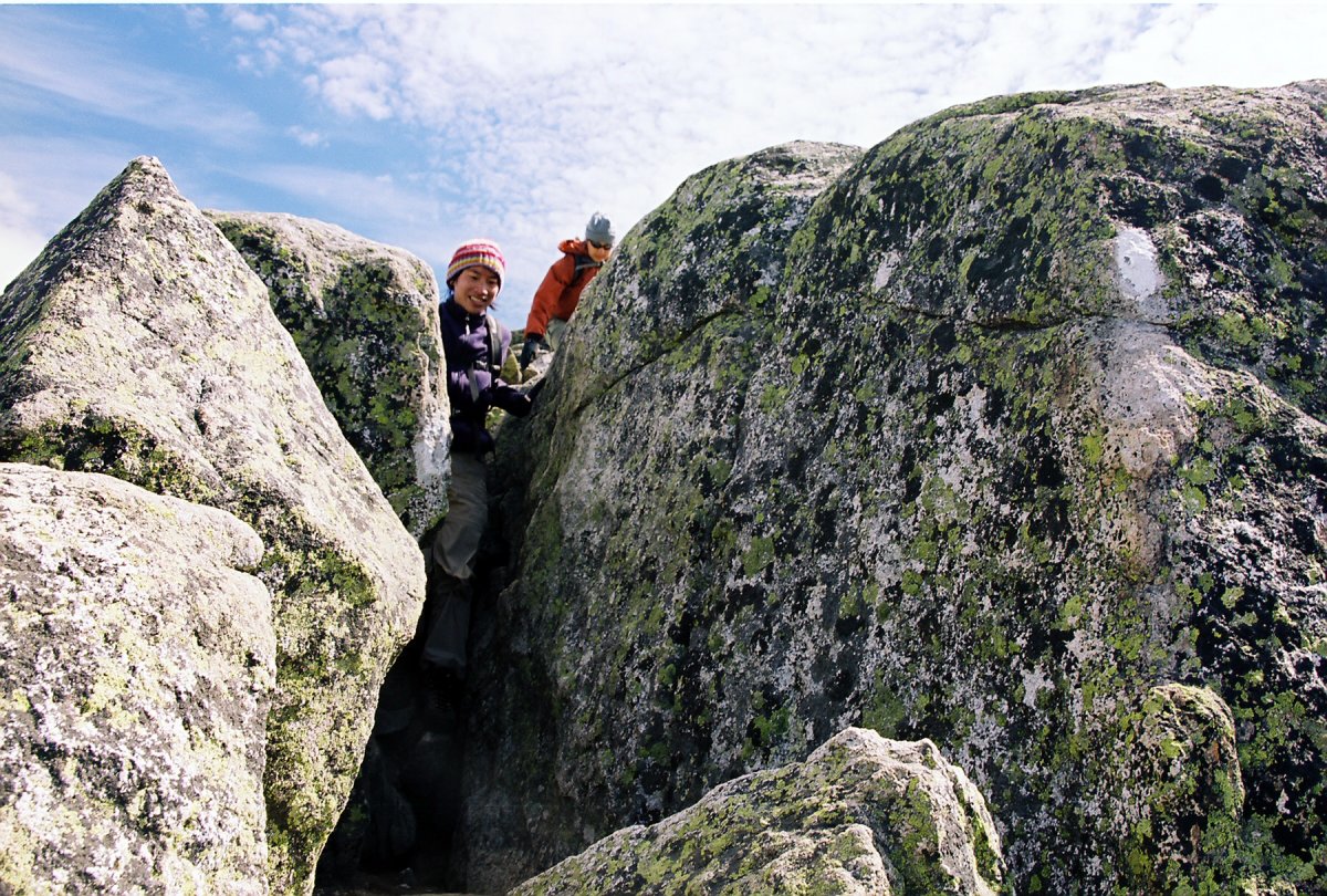
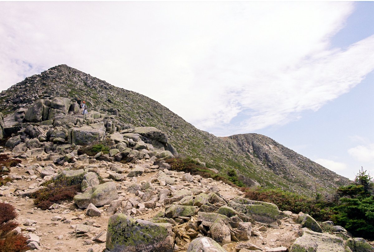
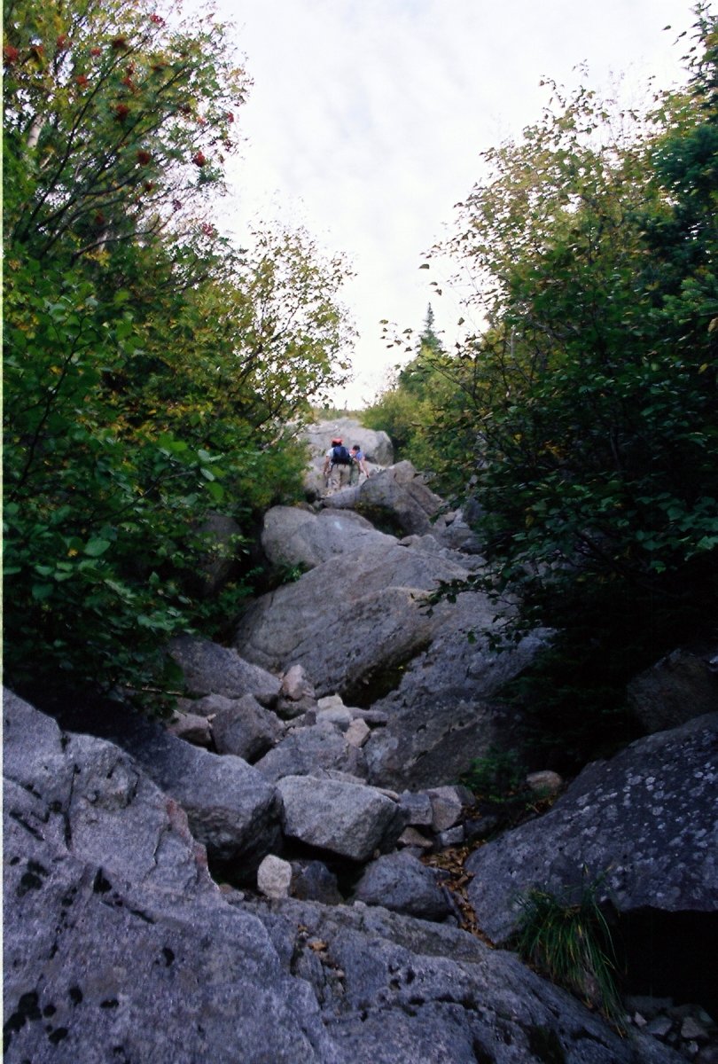
Last mile or so of the trail before the summit plateau is a freaking steep boulder field, appropriately called the Abol Slide.
About an hour of scrambling later we got the plateau, where the Abol trail joins up with the AT, aka the Hunt trail.
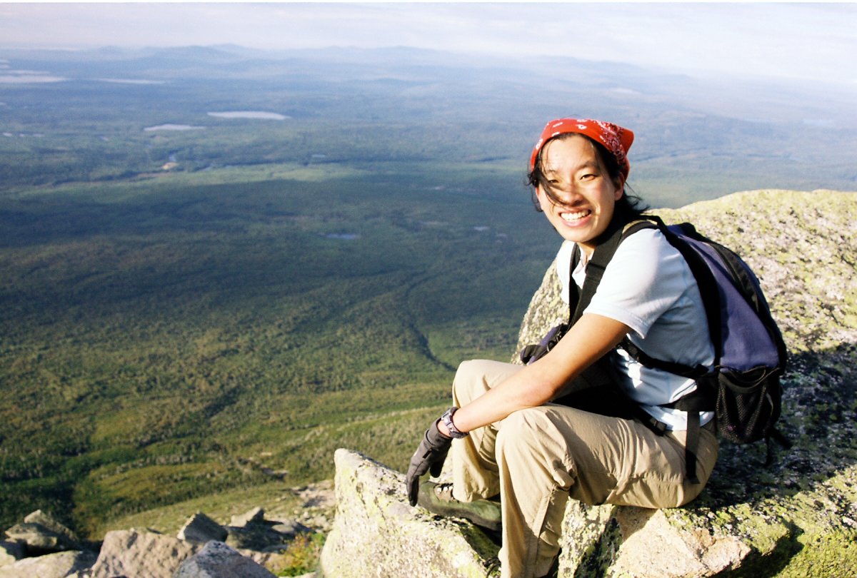
It was pretty windy near the summit (class 2 day!). Here I am trying to catch patches of clouds, but they were very elusive.
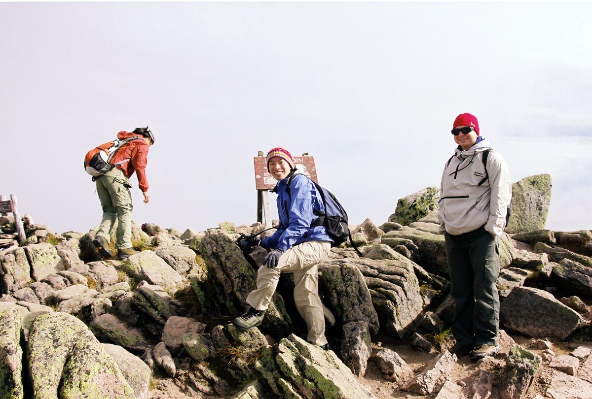
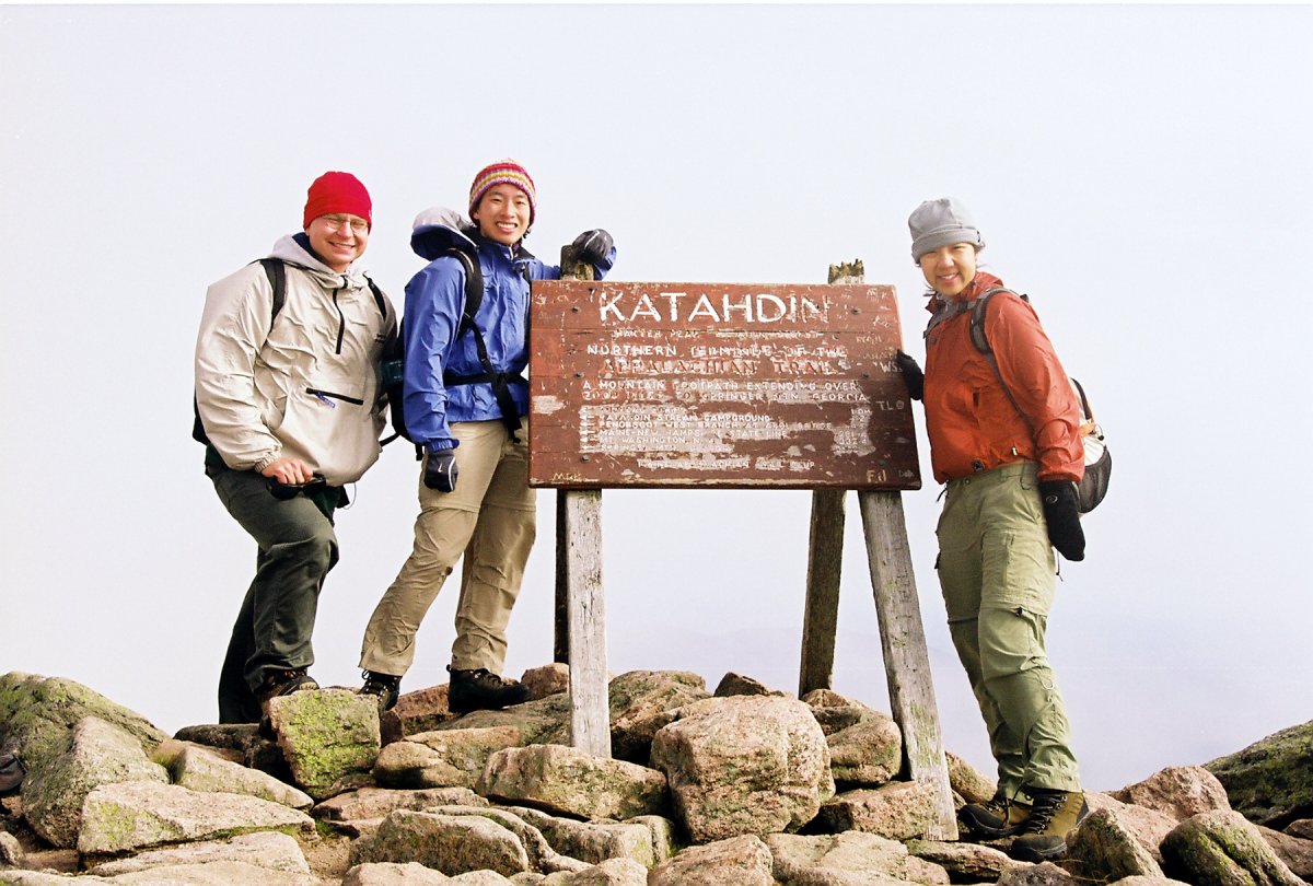
Summit shots with the Knife Edge in the background.
And few more summit shots... We were the first people on top, but were shortly joined by a group coming the Cathedral trail. We also walked for a bit on the Knife Edge trail before turning back.
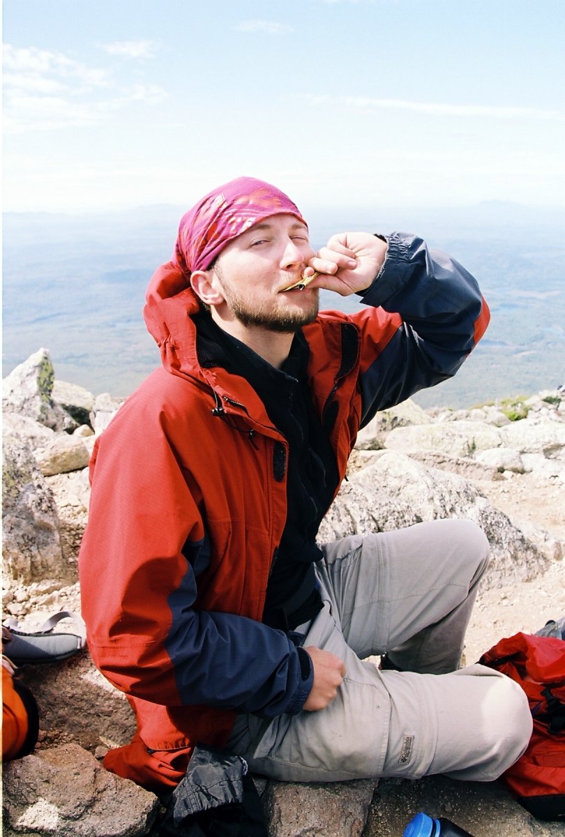
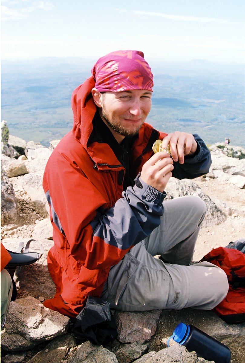
So Ben thought it would be good for me to try an energy gel. As you can tell, it was very tasty.
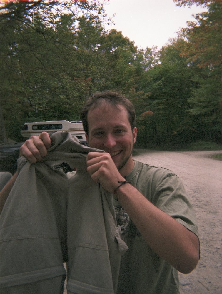
The views from the top were absolutely breathtaking. Unlike most of the Appalachian states, this part of Maine is completely flat, with Katahdin towering over thousands of lakes like a giant east-coast volcano. The views got even better on the way down because I managed to rip a huge hole in the seat part of my pants. It was time to get new hiking pants anyway!
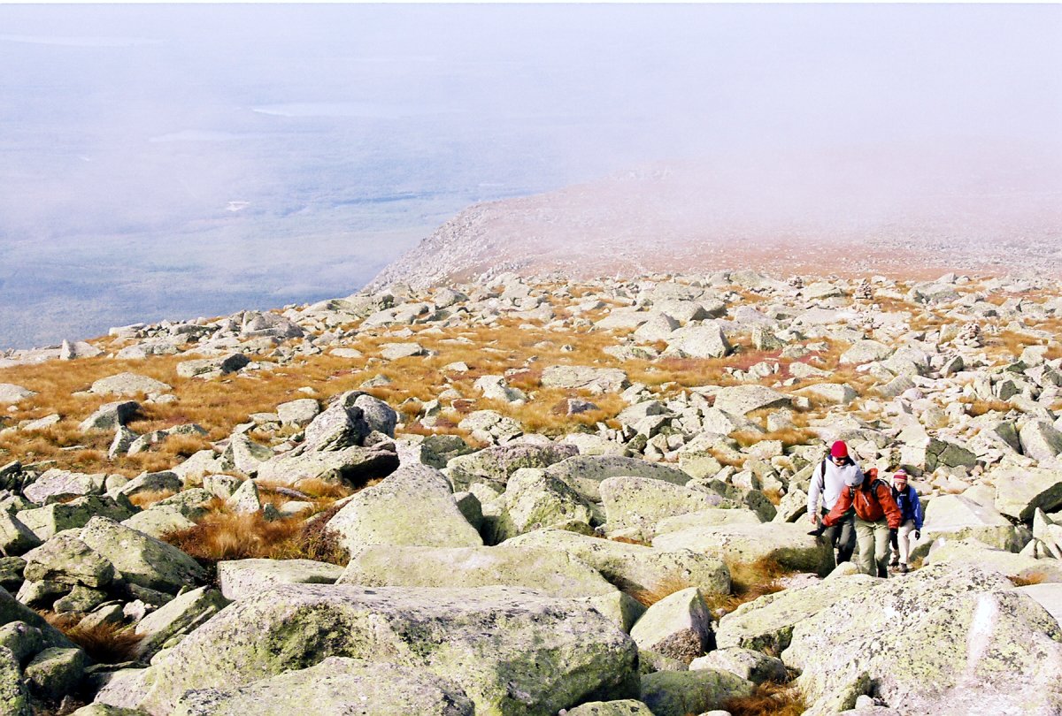
We decended down the Hunt trail which was much less steep than the Abol trail, but it still had few interesting sections.
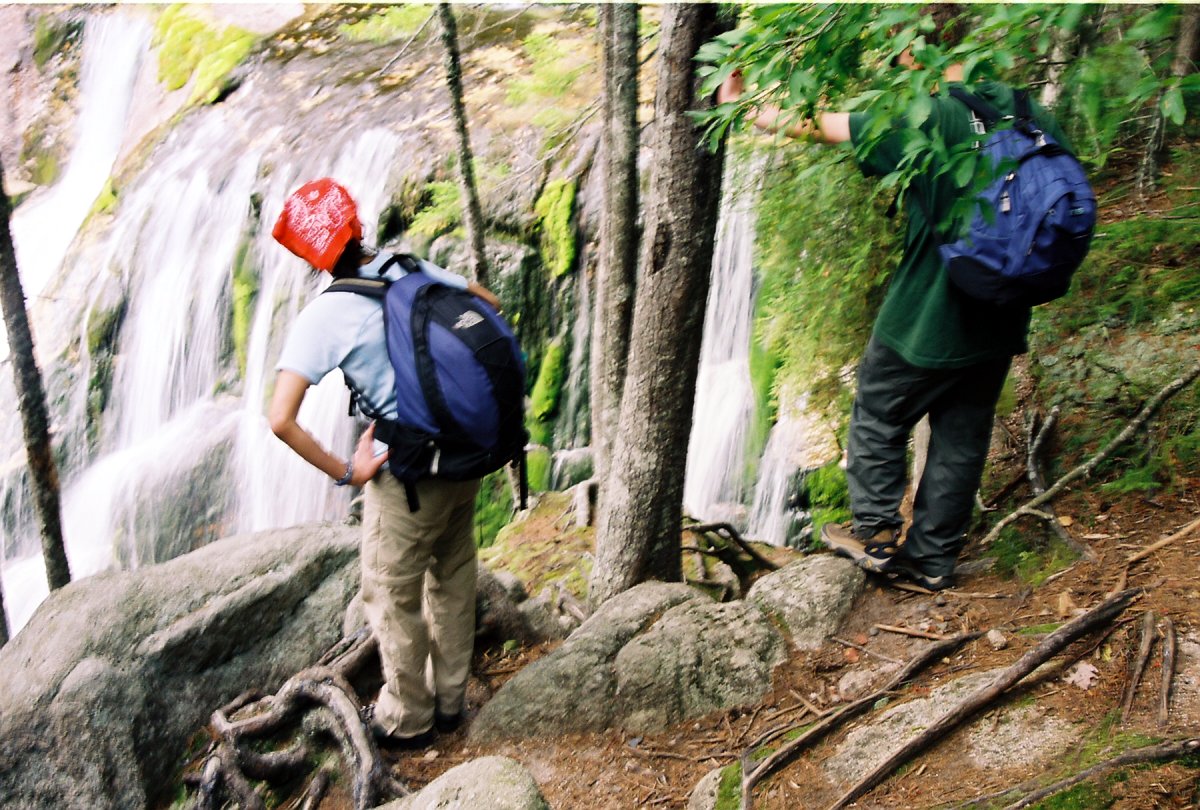
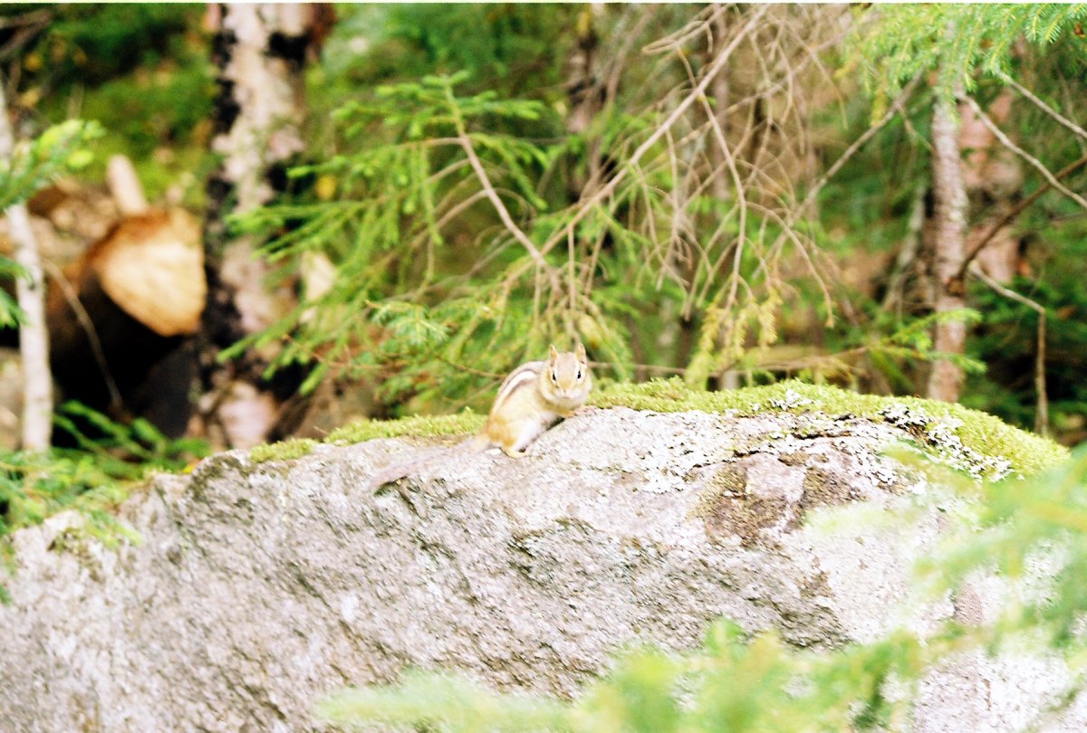
The Katahdin falls. I also saw this cute little chipmunk.
My poor pants! (Ben's photo)
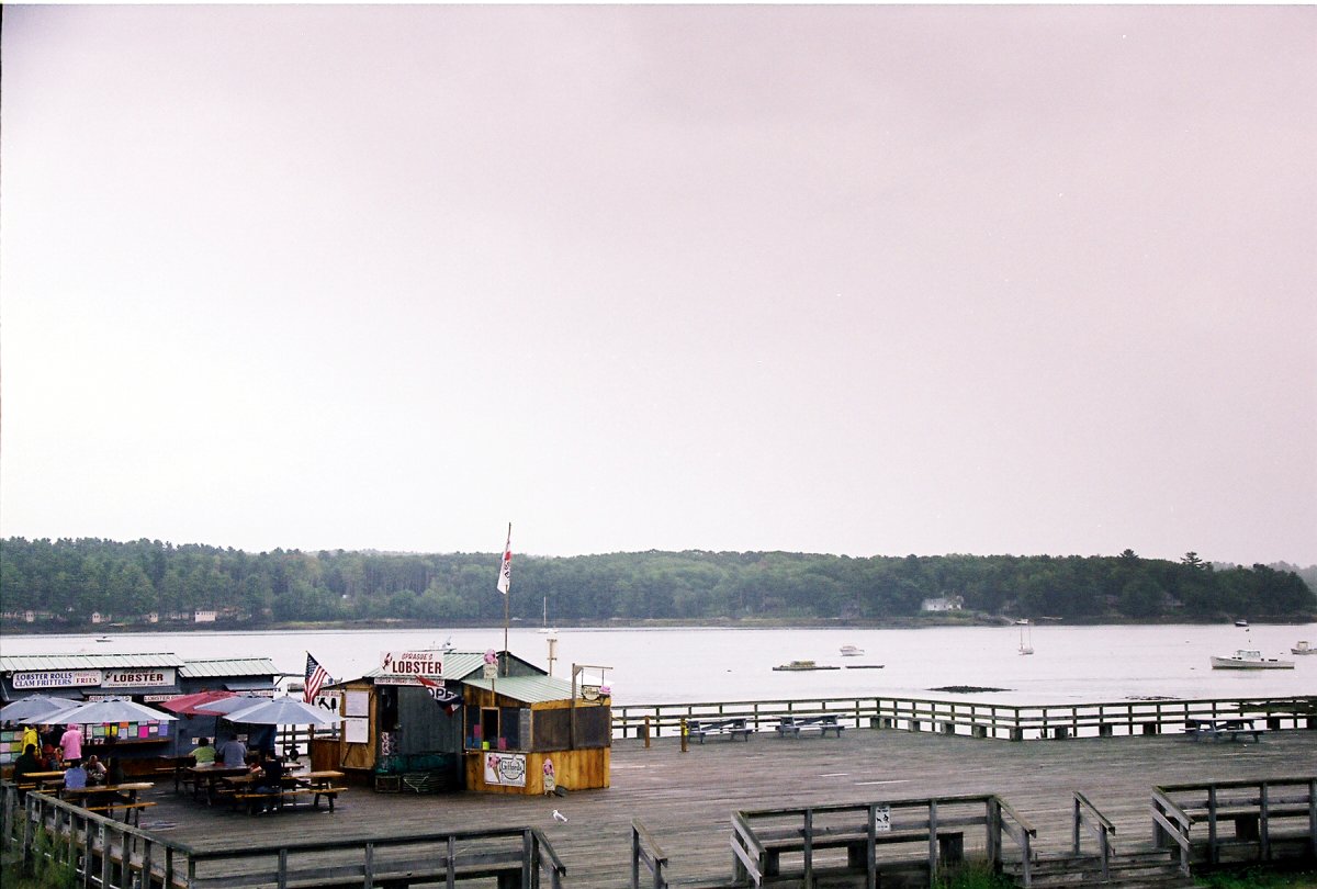
We spent that night in the Katahdin Shadows campground in the town of Millinocket. After a game of junior scategories, in which I completely obliterated Ben, we had a ceremonial burning of the regulations. Of course, sparklers were involved! The next morning we took US-1 down the coast. We stopped for lunch at Sarah's in Wiscasset. The food was good, but the deserts were heavenly!
View from the porch at Sarah's restaruant.