| home:u.s. highpoints:spruce knob | site map | navigation help |
|
Spruce Knob (WV) |
Spruce Knob, West Virginia
Elevation: 4,863 ft
Date: 2 days, March 2004
Group Size: 2
Miles Covered: 16?
Difficulty: Would have been easier if we didn't lose the trail
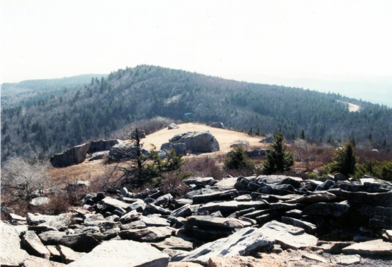
Scenery: Very nice views from the summit
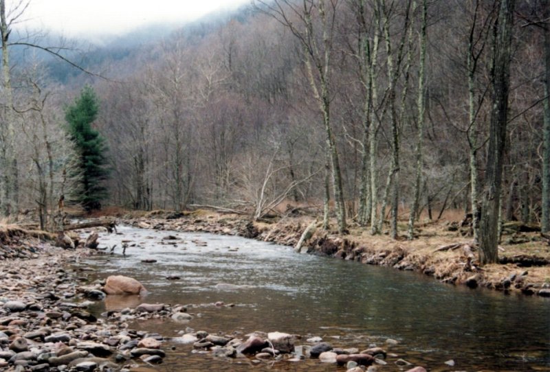
I went on this overnight trip with Craig McNally and his dog Roxie. The idea was to take the Allaghany Mountain Trail south, and make it to the summit. Right after parking the car, we stumbled onto the first obstacle. Crossing a 10 foot wide stream that had no bridge. Next we kept walking, only to keep crossing more and more streams. This slowed us down, since at each crossing we had to take our shoes off.
The river that we had to keep crossing
I remembered from looking on the map that we were supposed to be walking on a ridge line, but instead we were in the valley. So I took out the map and realized that what we thought was the trail was actually a forest service road. We missed the junction. At this point we had two options: 1) take the road back and find the junction, or somehow make it up to the ridge line. A section of the forest close by had an underground pipeline burried in it, and the trees over it were clear cut. This seemed like a good way to make it to the top. Going up the mountain was pretty rough though. The incline had to be good 30 degrees, and the grass was wet from rain. Few times I slipped, but fortunately didn't go too far down.
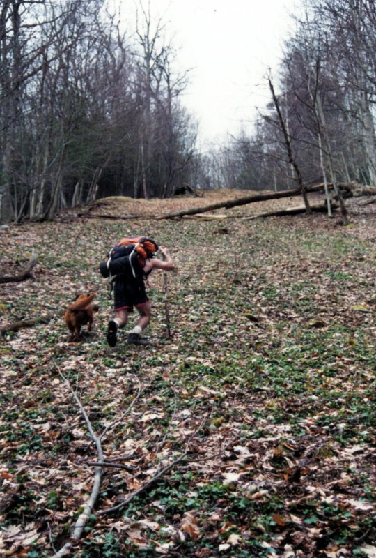
Taking the pipeline clearcut to the ridge line
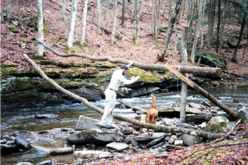
Makeshift bridge at which we stopped and camped
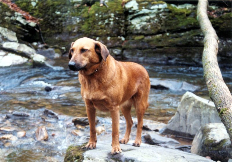
Craig's dog, Roxie
At the top we found our trail. The ridge section was pretty easy. However, it was raining, and we were already behind. Plus, I wasn't feeling too well. So when we came to a little makeshift bridge, we stopped and camped. The next day we returned back to the car and drove to the summit. I will be coming here sometime in the future to summit this mountain properly.
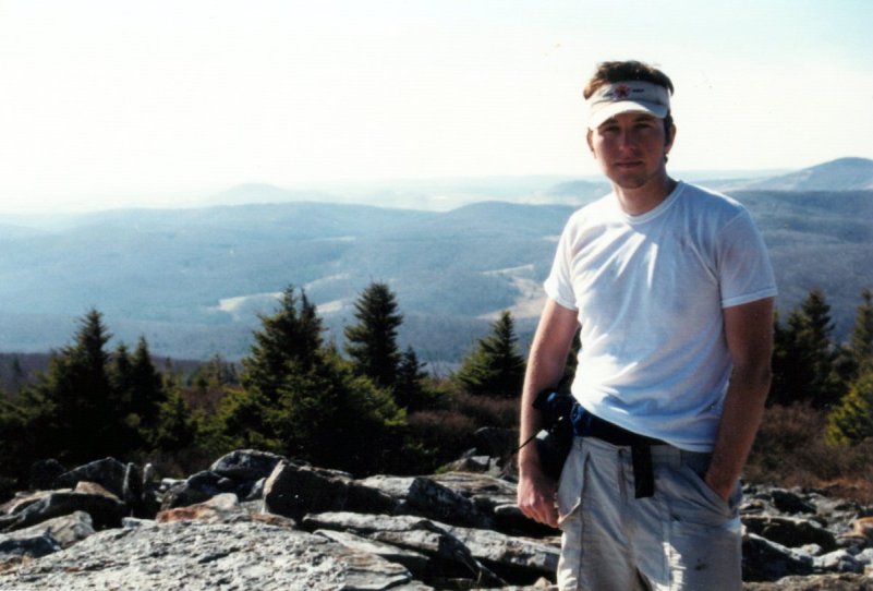
On the summit