| home:hikes:c2c | site map | navigation help |
|
Cactus to Clouds (CA) |
Date: May 31st, 2008
Group Size: 4+2
Stats: 23 miles
Difficulty: Easier than the other two, if that means much...
So I finally got my act together, and made it down to Palm Springs to hike Cactus to Clouds. This was the third, and final, ultra-hike I wanted to tackle while living in California. The other two long hikes were Telescope Peak and Rim2Rim2Rim. One this hike I was joined by Mike G., who had been my hiking buddy on all three ultras, my roommate James, and a friend from work Mike N. This was my second attempt at C2C. The first one happened two years ago, when I was in a much-worse hiking shape. That time I came with Dan, who turned early due to knee problems. I continued, but by the time I reached the tram, it was late, and I was exhausted and ready to call it quits.
This time I wanted to make sure we will have enough time to complete the route, so I used the Naismith rule to estimate our hiking time. Cactus to Clouds starts at 101 Museum Drive in Palm Springs, at the west side of the museum parking lot. From there it switch-backs up the mountain for 12 miles while gaining over 8000 feet. It then reaches a prominent ridge perhaps a quarter-mile south of the tram station. Naismith says that hiking time is given by
T = 1/3D+1/2H = 1/3 * 12 + 1/2 * 8 = 8 hrs
From the tram it is 5.5 miles and 2000 feet to the summit. This comes out to roughly 3 hours. I then guessed that the return will take another two. Adding an hour for breaks on the way up and another hour for resting at the summit, we were looking at a 15 hour day. Finishing at 6pm meant that we head to start hiking at 3am. The total elevation gain is 10,355 feet and the total hiking distance, assuming returning on the tram, is 23 miles.
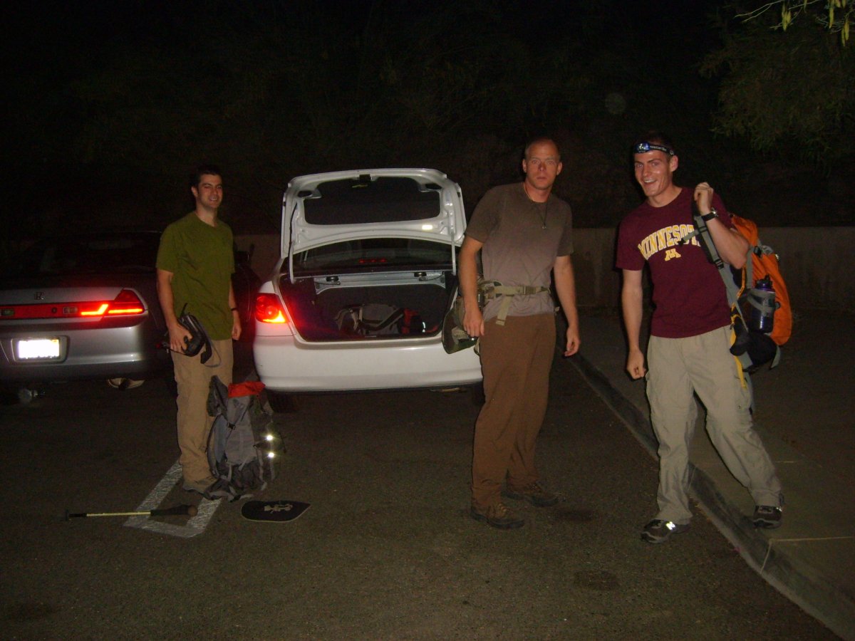
Hiking C2C requires an additional logistical step: getting back to the car. The bottom tram station is located some 7 miles from the Museum. Unless we wanted to hitchhike, or get a cab, we would have to leave a car at the station. The tram parking lot doesn't open until around 6:30 am, so this would had to be done the night before. However, another friend from work, Carrie, and her roommate, Mike, decided to come for the tram2summit hike. We decided to meet at the upper station at noon (3am+9hrs). Before riding the tram up, they moved our car to the tram.
The C2C quartet got to Palm Springs around 9pm. We reserved a room in a Best Western downtown. It took us about an hour to find the hotel, since our map had the hotel in the wrong location. This hotel was pretty neat. From the looks of it, it is an old mission-style building. The hotel consisted of at least three different buildings, which intertwined together, forming an elaborate system of courtyards and gardens. It also made finding your way around quite challenging. The dinner was Burger King. This was my first BK visit in about 2 years, and few bites into the extraordinarily greasy fish burger made me remember quite vividly why I have sworn not to ever eat at this place again.
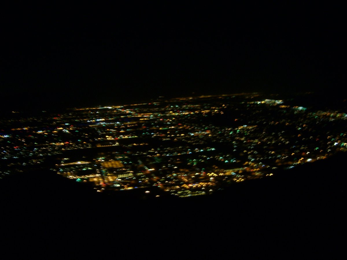
We didn't start hiking until 3:45am. The hike was pretty uneventful. It was quite warm even before the sun came out, so we were glad for the pre-dawn start. We ran into only one group on the way up; and elderly duo whose lights we were seeing twinkling on the slopes pretty much from the beginning. Later, almost near the ridge, we ran into a volunteer ranger. He was making sure people that there were no dehydrated hikers on this side of the mountain. And we proved Naismith wrong. We got to the tram at 10:45, seven hours after the start and one hour before schedule. On the other hand, Carrie and Mike were running an hour late. We took the two hour pause to snack, rehydrate (I had 4 cups of Pepsi!) and nap on near-by rocks. Or at least we tried to nap, as the more or less constant barrage of announcements ("the next tram leaves in 10 minutes", "the next tram leaves in 5 minutes", "the next tram is leaving now", "due to heightened security stay home and be afraid for your life") made this pretty difficult.
Here we are leaving the car at 3:45am. The lights of Palm Springs stayed below us until the sun came out.
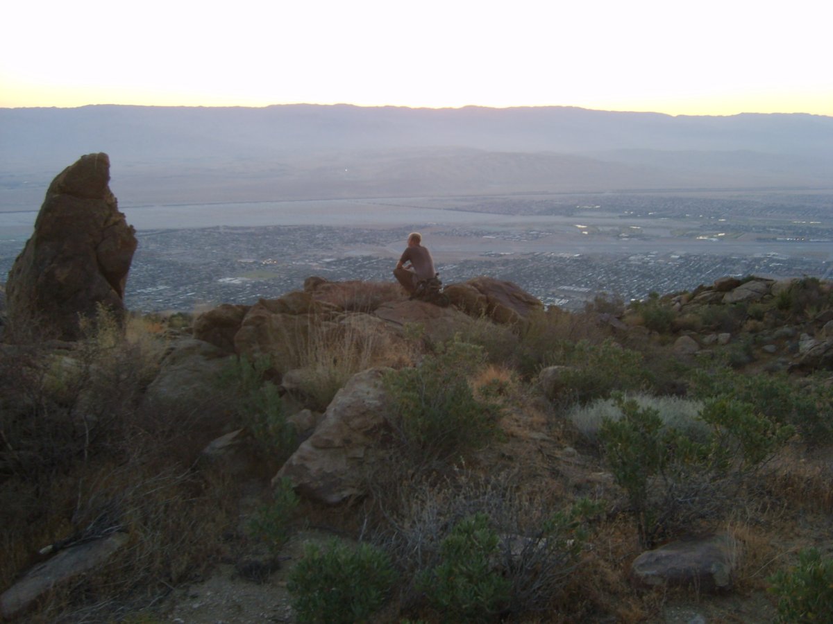
Here is James contemplating life. Or possibly he is just watching the sun rise over Palm Springs.
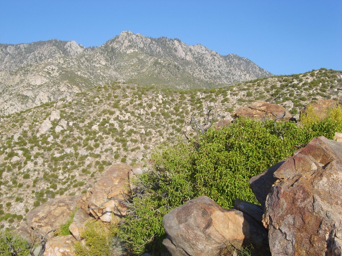
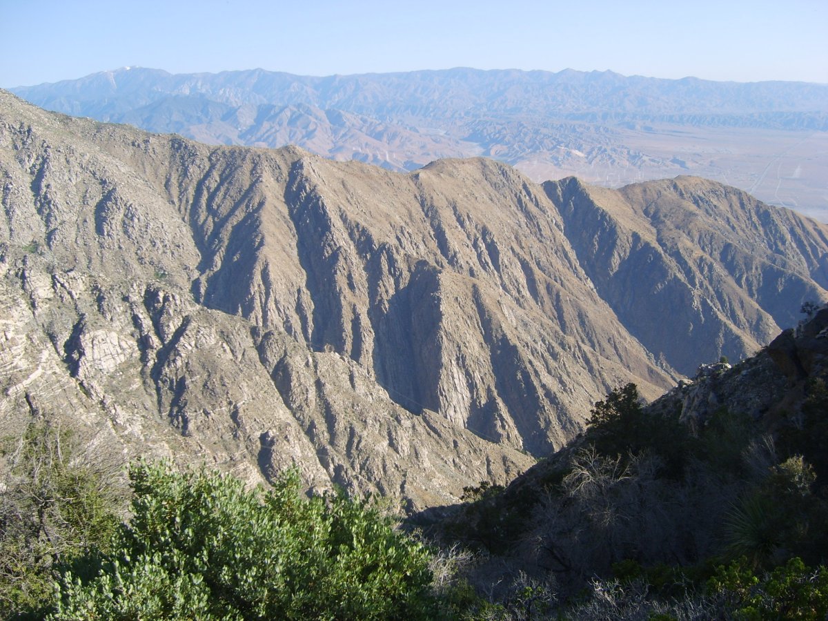
We continued upward through the desert shrubland. Later we reached the south end of Long Canyon. The tram was not yet running when we got here, but the cables are visible along the canyon wall in the foreground.
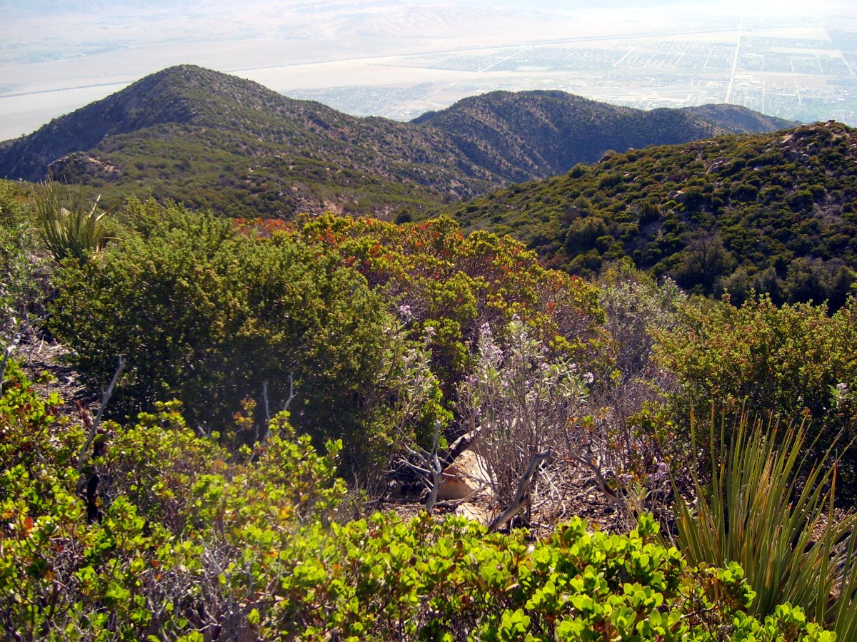
More of the same.
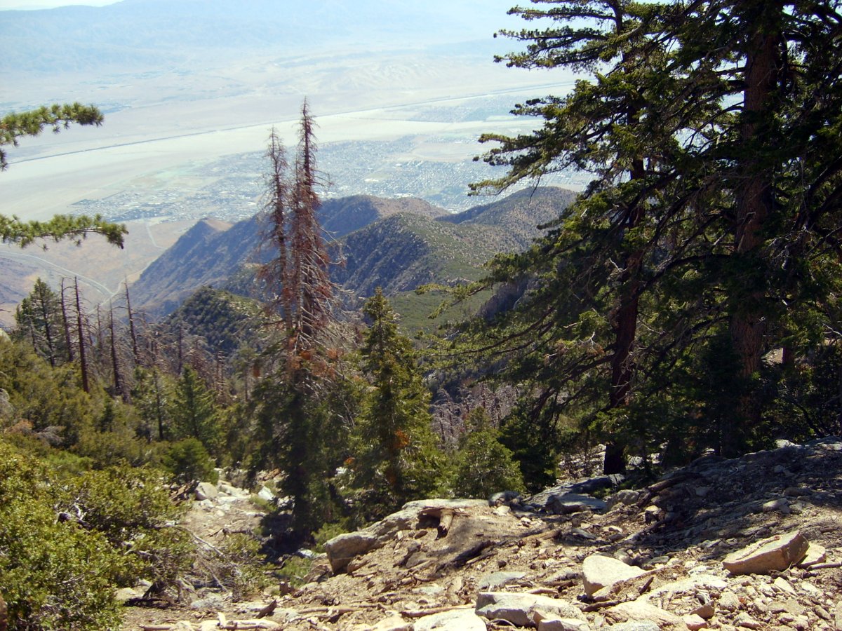
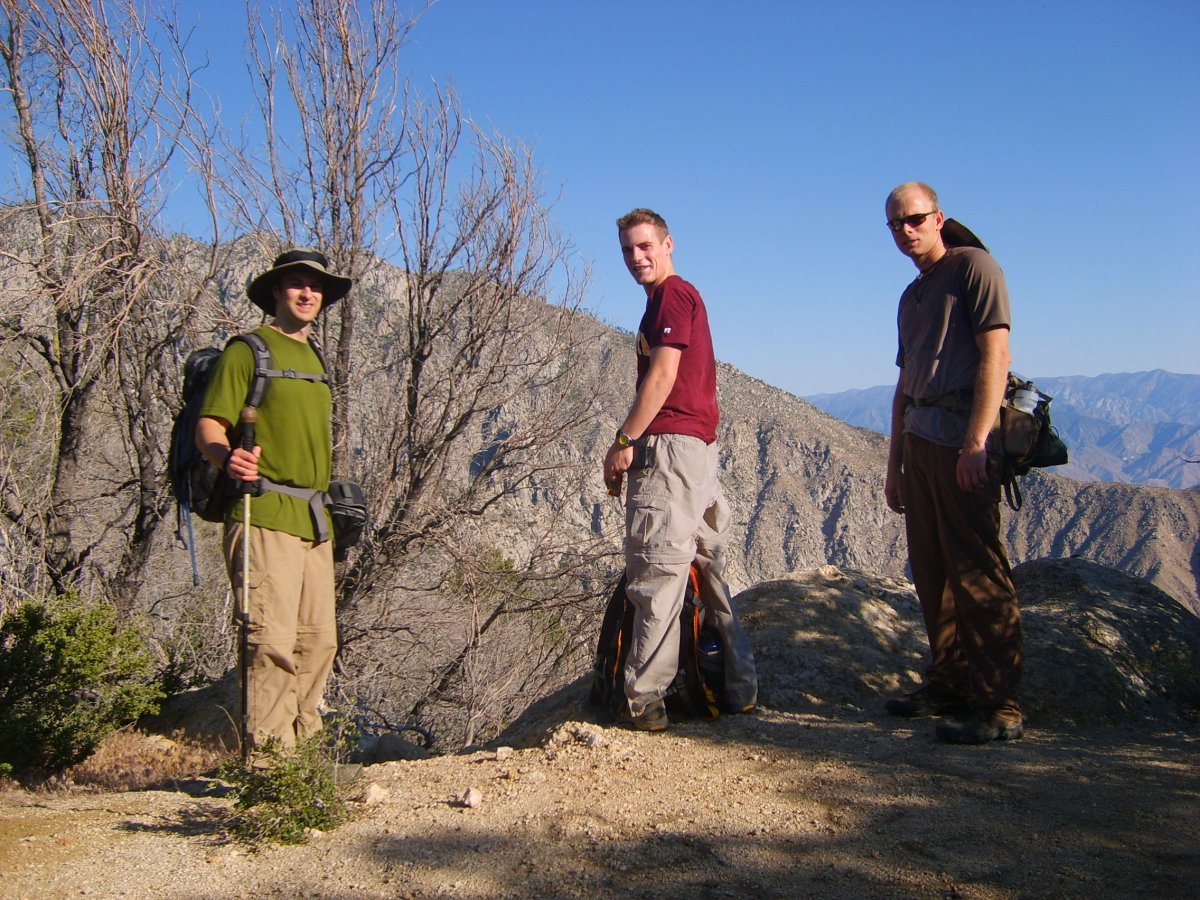
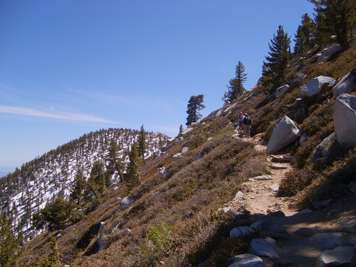
The trail was fairly flat until the final ascent up the final steep face towards the tram.
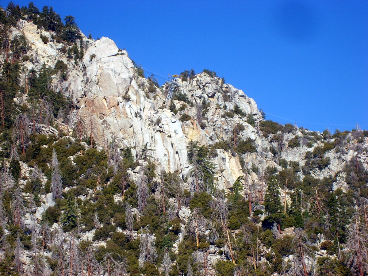
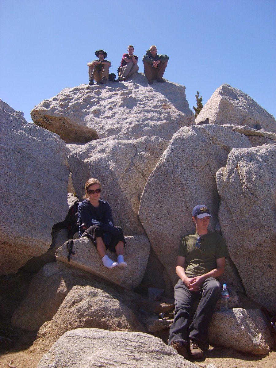
The hike from the tram to the summit was pretty uneventful. We first stopped by the ranger station to get permits. The trail was pretty well marked, although lingering snow made the trail finding a bit difficult in few sections. Luckily there were typically other hikers descending from the summit to indicate the right direction. The summit block is a lot of fun, as it is made of a large granite boulder field. I have been to the summit before, on one of Garen's No Mercy hikes, so I knew what to expect. Carrie, Mike and James made it to the summit well before the rest. The rest of us was starting to get pretty exhausted so we hiked at a slower pace. We stayed at the summit until about 4pm. On the way back down we had a bit of a misadventure. Mike N. was feeling pretty beat, so he ended up staying behind with Carrie and the other Mike. James, Mike G. and I pressed ahead. However, at the upper ranger station (by Round Valley), and right before the cabbage patch, we ended up missing a turn off. To our credit, this turn off was pretty much impossible to see. The trail from the ranger station heads (I believe) south. There is a sign at the ranger station indicating the direction. However, about a quarter mile from the station the homebound trail makes a left turn, while the original train continues straight ahead. There was no marker. Perhaps were it earlier, and were people still making their way up to the summit, their presence would alert us of this turn off. However, as the crowds have already descended off the mountain, we kept going straight. The fact that the trail started gaining elevation should have given us a red flag, and it eventually did, but not until we covered at least another half a mile. Along this section we ran into two other groups, which were also quite confused on their whereabouts.
We finally ended up returning back towards the station, and on the way we noticed the turn off. We didn't think that we were gone long enough for the rest of the group to pass by, given their slow progress before and quite a comfortable lead we (thought we) had. So we waited to alert them of the turn, and waited, and waited, and finally stopped waiting and decided to keep going. We put some sticks down across the bad path, as well as painted arrows in the dirt to indicate the right direction. When we got to the lower station, we decided to wait again. After another 10 minutes of fruitless waiting, we continued to the tram. They were nowhere to be seen, making us think that they were still on the mountain. But, just as we were about to return back to the ranger station, I spotted Nakles on the upstairs balcony. They were heading for the stairs to take the tram down. Since they were not able to get a hold of our cell phones, and we were nowhere to be seen at the station, they assumed that we descended down to the valley, and lost the cell phone reception. I guess sometimes it pays off not to rush to get off the mountain, and actually pay attention to where you are going! The good thing that came out was that we managed to ride the tram down for free.
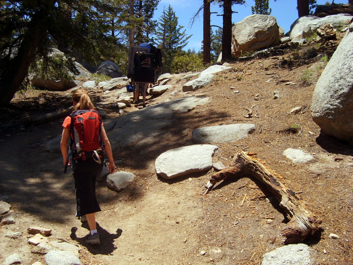
Here we are heading to the summit from the tram. This group of climbers was hiking in front of us, and I was really tempted to run into their crashpads.
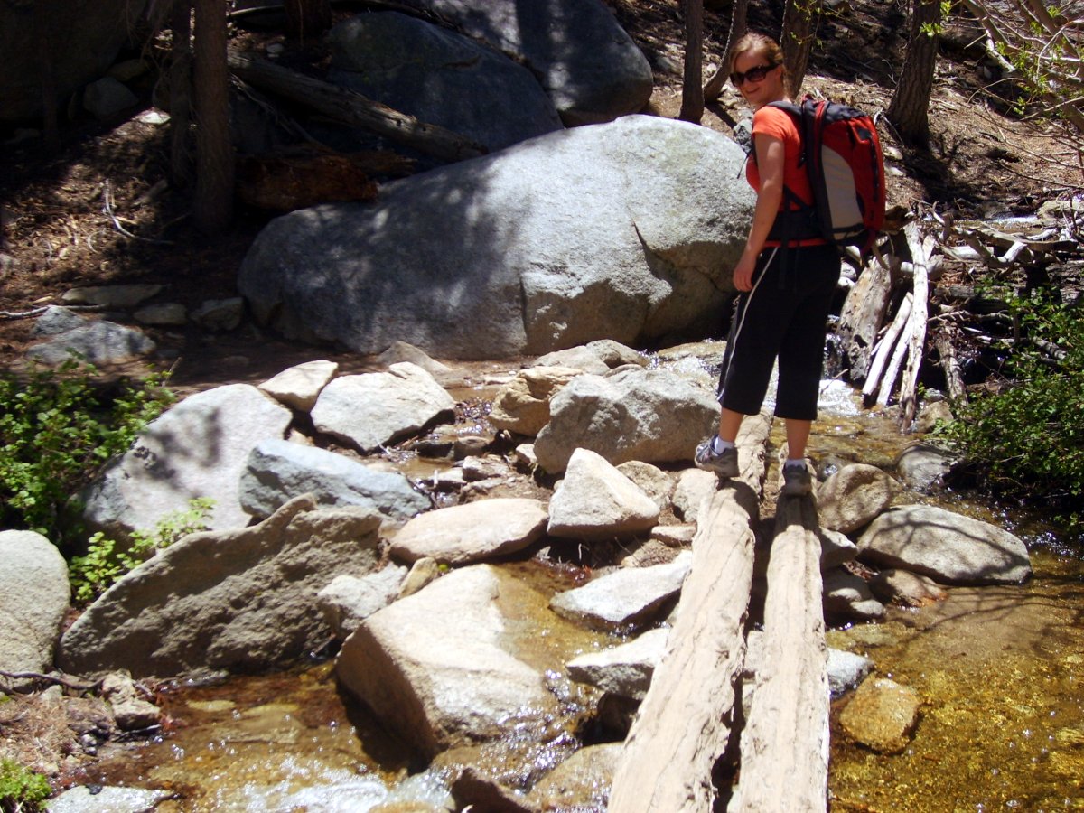
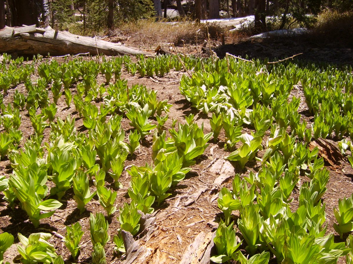
Here is Carrie crossing a creek. Later we hiked past this wild cabbage patch.
Ascend up to the final ridge to a stone hut. From there, the summit is just a short scramble away.
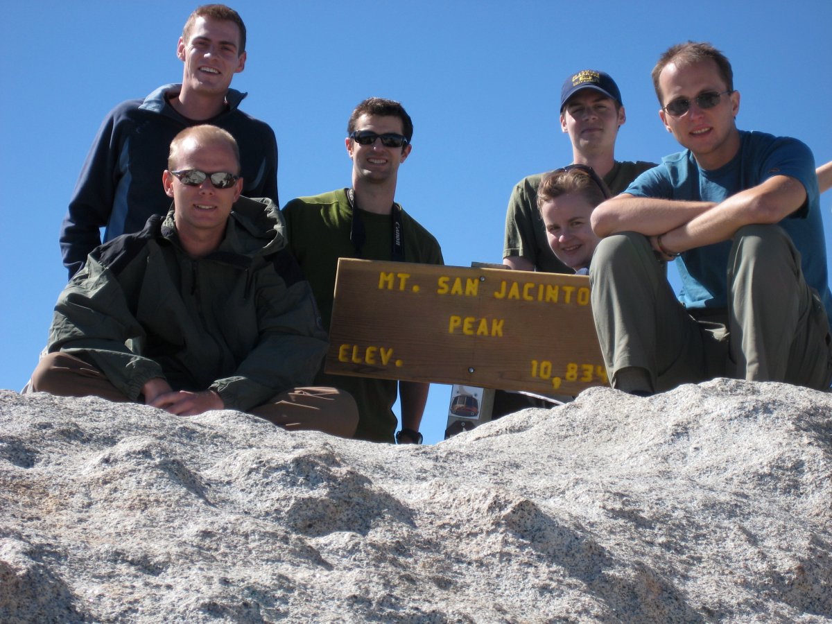
Group shot on the summit. From left to right we have: James (F), Mike G. (B), Mike N., Carrie (F), Mike (B) and me.