| home:hikes:rae lakes | site map | navigation help |
|
Rae Lakes (Kings Canyon NP) |
Date: May 26 to 28th, 2007
Group Size: 5
Miles Covered: 42
Difficulty: Moderate with some early season technical hurdles
Scenery: Plenty of swimming holes and trout filled streams. Spectacular views from Glen Pass.
For the Memorial Day weekend, I set off on an adventure with friends from work and Sierra Club's WTC. Our goal was to finish the 42 mile Rae Lakes loop in Kings Canyon National Park in time to be back at work on Tuesday. Most folks do this loop at a more leisurely pace, kicking back by the many swimming holes en route, but we also wanted to verify that a 15 mile backpacking day was feasible. That is the daily distance Mike has been planning for our upcoming hike of the John Muir Trail.
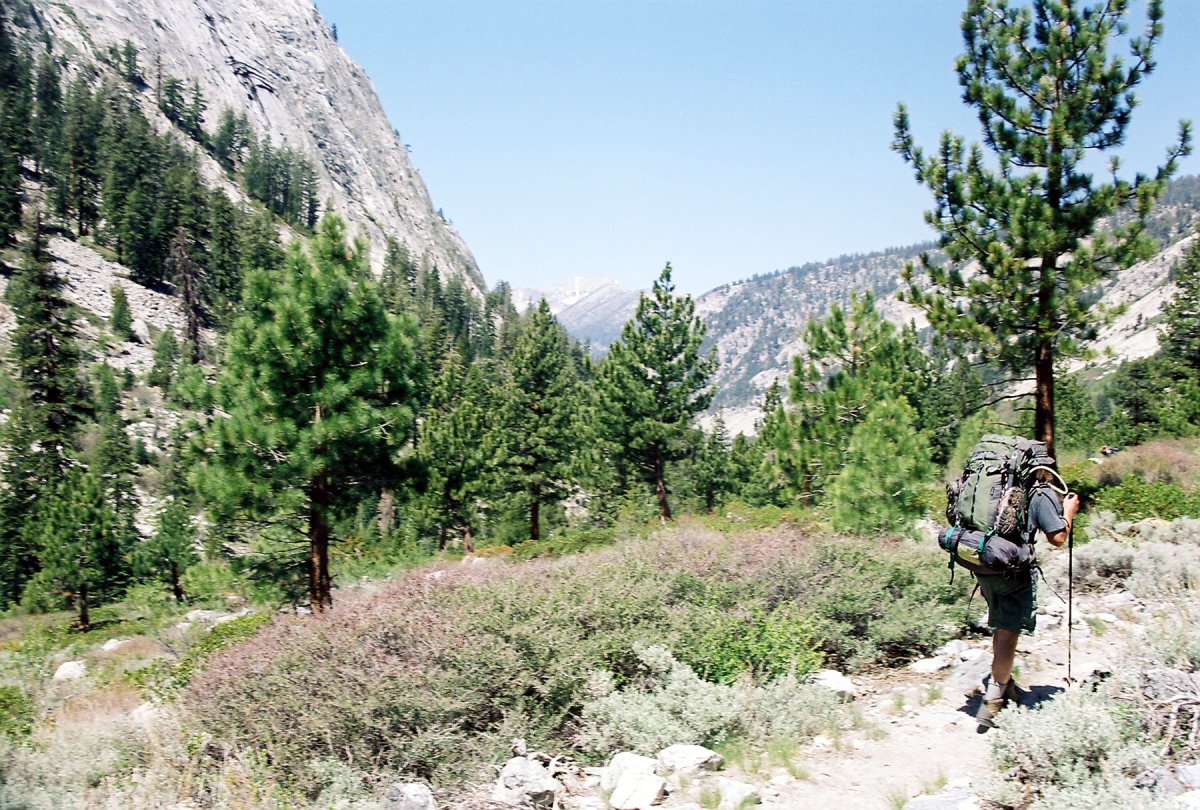
We hit the trail at 10:30am on Saturday morning. The elevation profile for this loop looks a lot like an isosceles triangle, with the central peak corresponding to Glen Pass, elevation 11,978 ft. The two legs are not quite uniform length, and the one connecting the pass to the trailhead along Bubbs creek is steeper. That is the way we went up. Most folks hike this loop in the opposite, clockwise, direction, however, those permits were already taken. Either way it is a lot of climbing, since the trailhead is located near 5,000 feet.
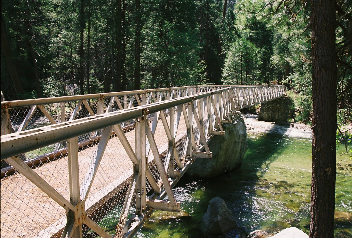
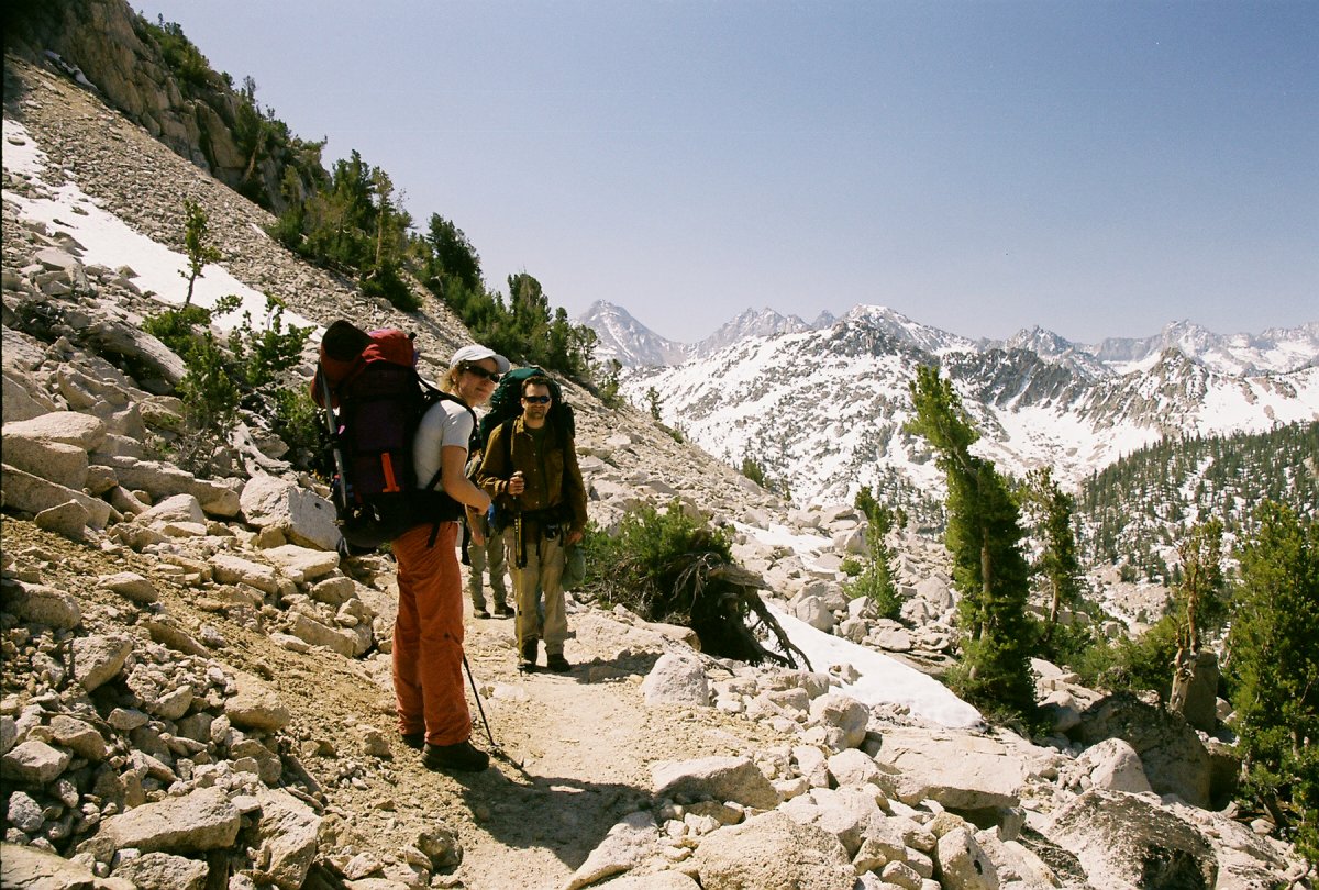
The Rae Lake loop is actually a semi-loop, a lollipop. The first two miles are along a smooth, flat path leading to a junction of Bubbs and Woods creeks, the start of the loop. Here we crossed over Bubbs creek on a metal bridge and started climbing out of the valley on switchbacks.
Bridge over Bubbs creek at the junction with Woods Creek trail.

Bubbs creek
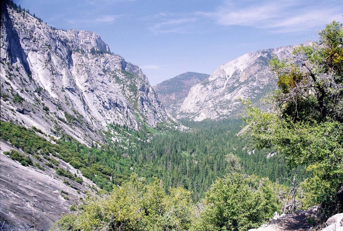
View back at the canyons carved out by the many rivers flowing through this area.
We camped the first night at Vidette Meadow, about 14 miles from the trailhead. On the way there we saw countless deer, squirrels galore, and three snakes. This included two rattlesnakes, one of which was quite massive. But no bears. The campsite was below 10,000 feet, so John made a fire, while the rest of us cooked dinner. Mine consisted of dehydrated vegetables and mushrooms cooked over instant rice. I dehydrated the ingredients at home, using a conventional oven. The results were astonishingly satisfactory. This was part one of my dinner experiments. I figured that the typical Lipton noodles mix won't cut it for the 16+ days on the JMT. It was time to find new recipes.
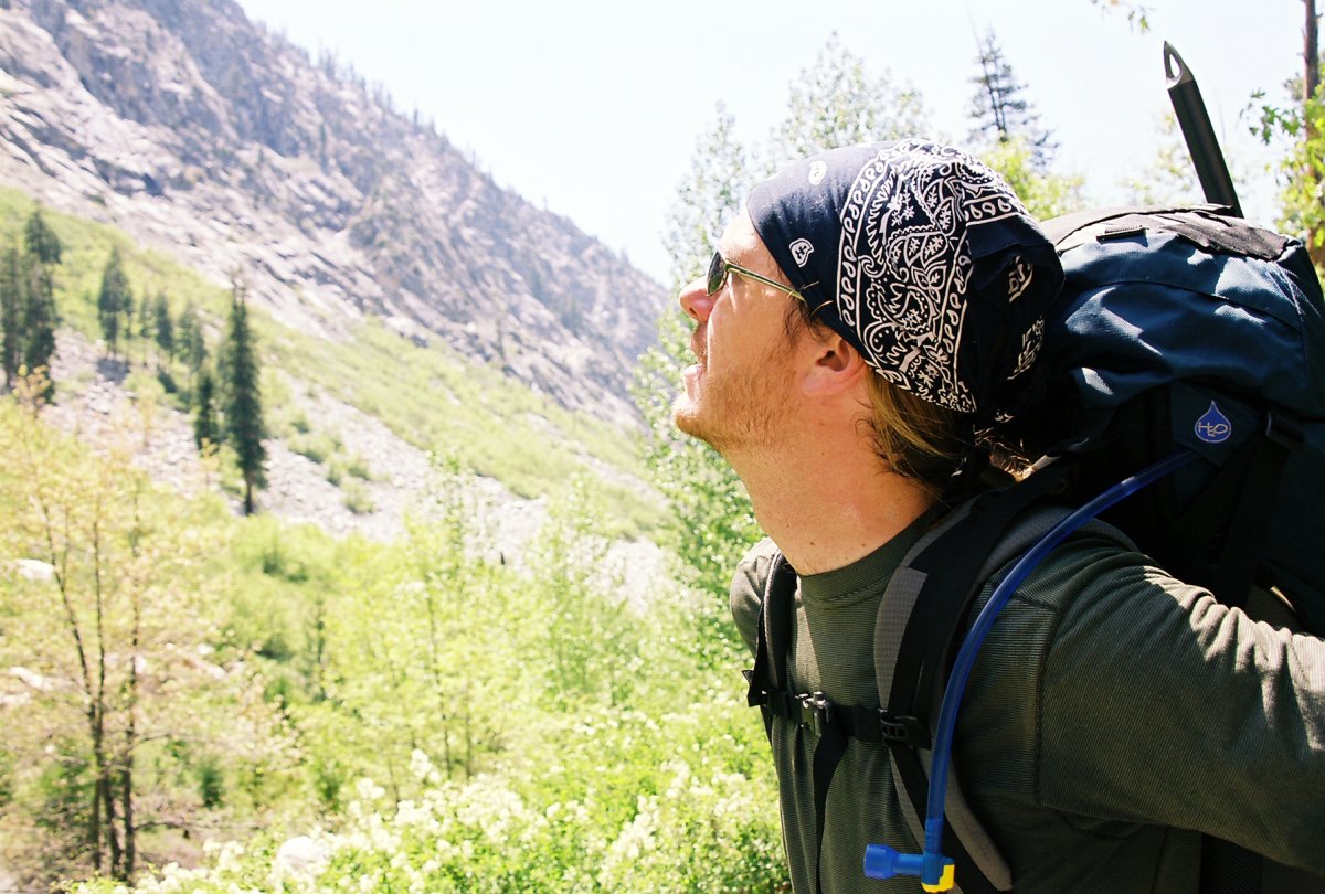
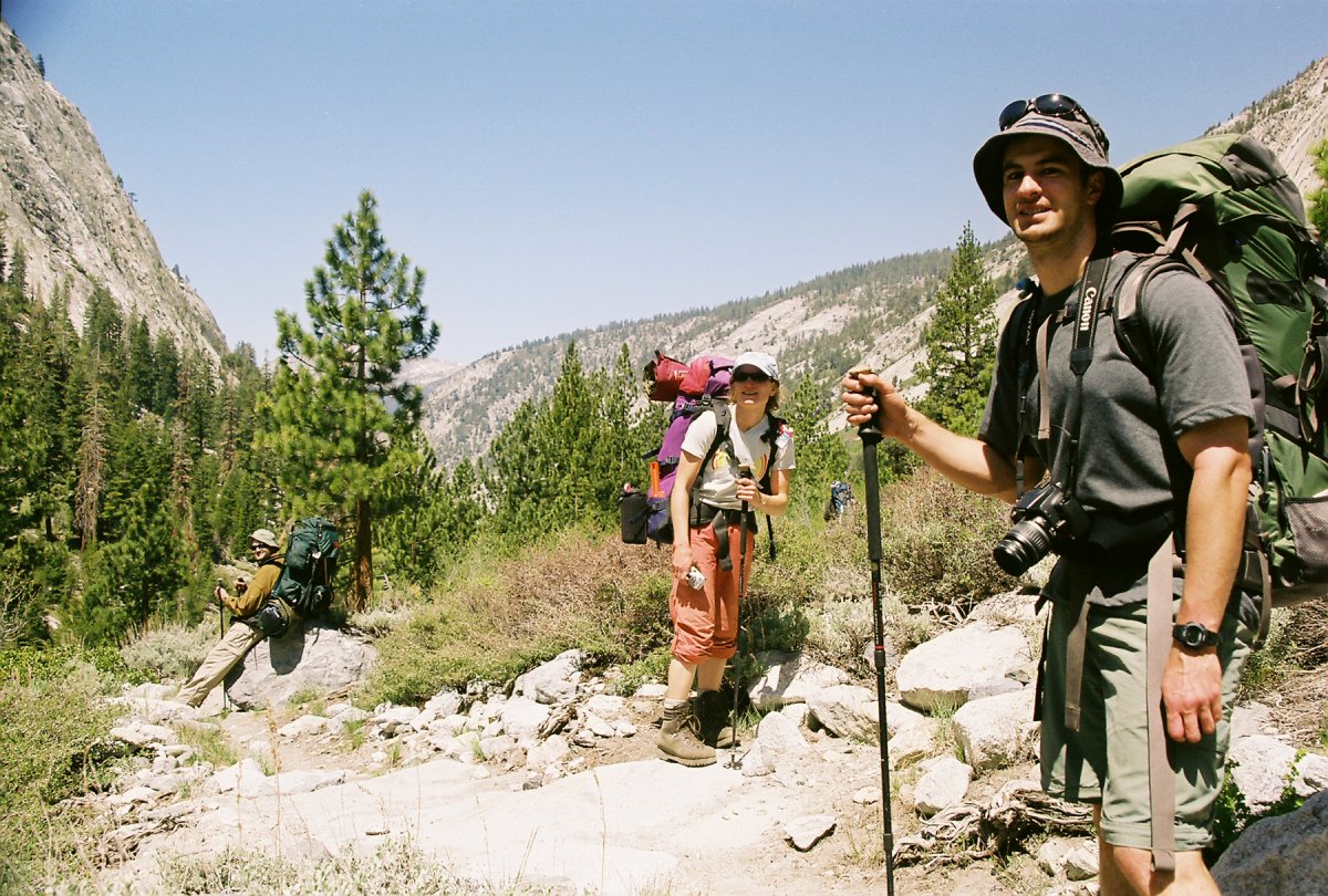
Friends from work, Garrett and Mike.
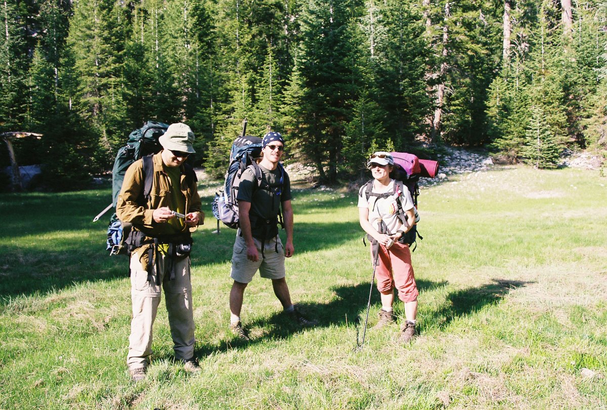
Rest of the group at the Junction Meadow: John, Garrett and Patricia

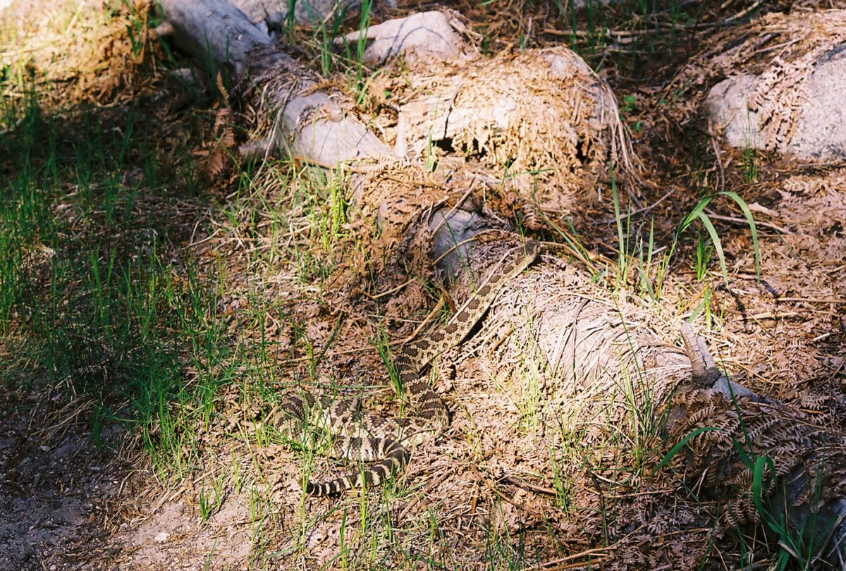
Samples of the fauna: a deer and a very fat rattlesnake
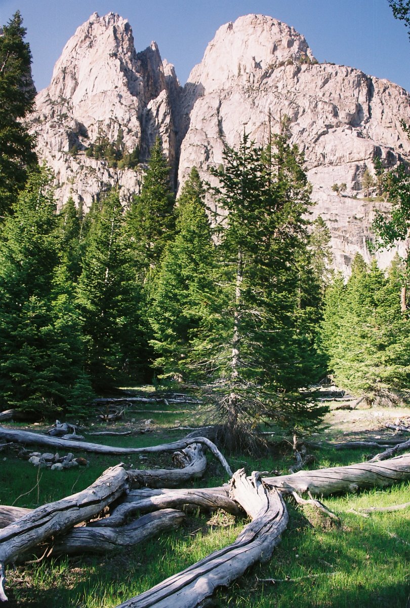
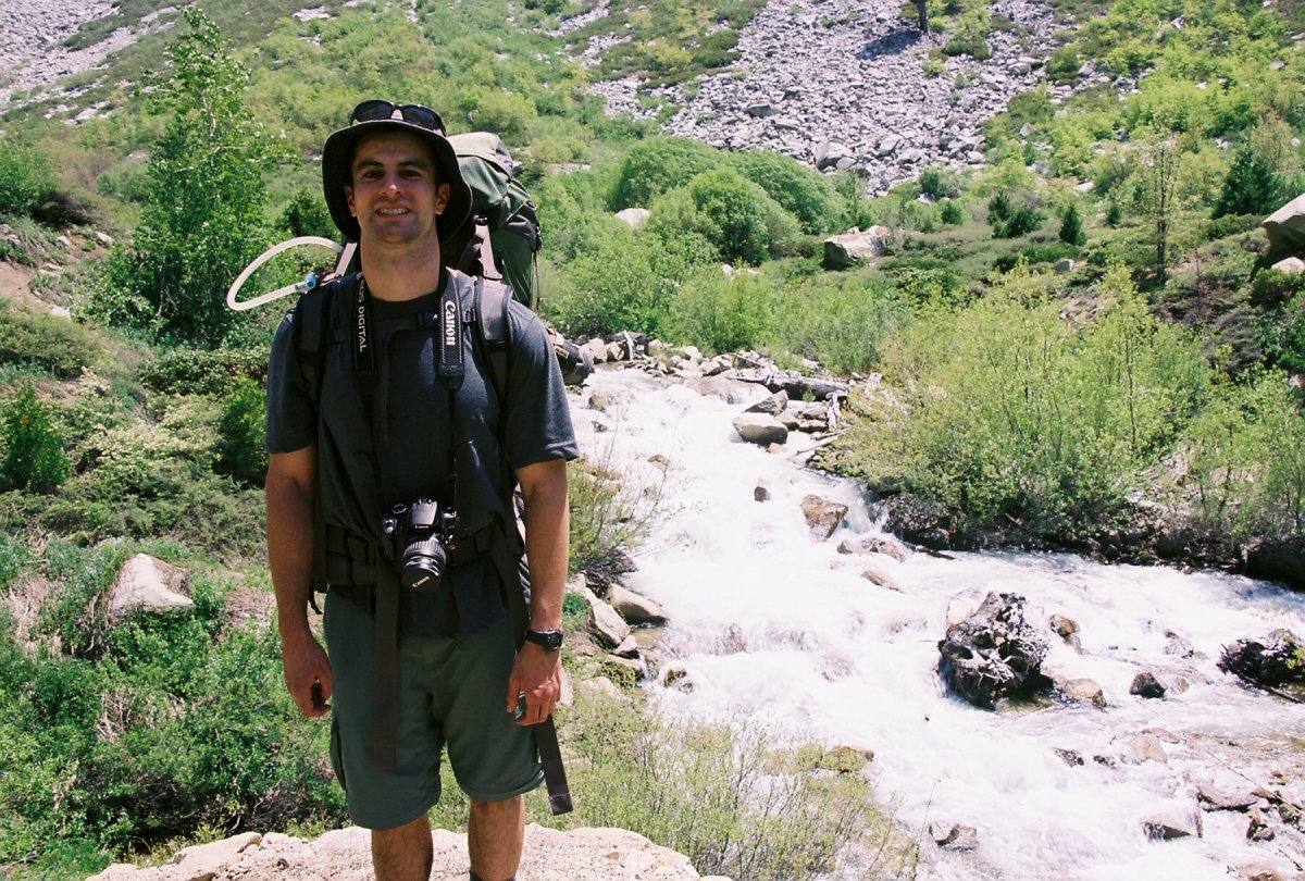
This is somewhere near Vidette meadow, our first campsite
The next day we started climbing up towards Glen Pass, the highest point on the trip. A series of switchbacks lead to Charlotte lake, the largest lake along the trail on the southern side of the pass. The snow was still lingering around at these high elevations. The postholing got pretty intense at few places, and I was quite glad I packed the gaiters. After few false summits and a ton of huffing and puffing we finally arrived at the pass. The views to the other side were quite breathtaking. The Rae Lakes were the highlight, but there were also many peaks along the horizon, such as Mount Gould, the Painted Lady, Whitney and Williamson.
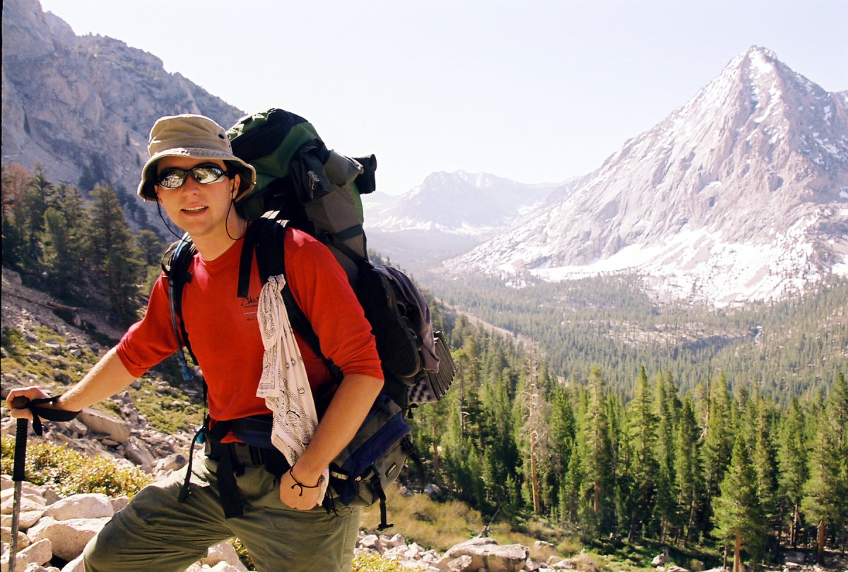
On the switchbacks heading up to Glen Pass
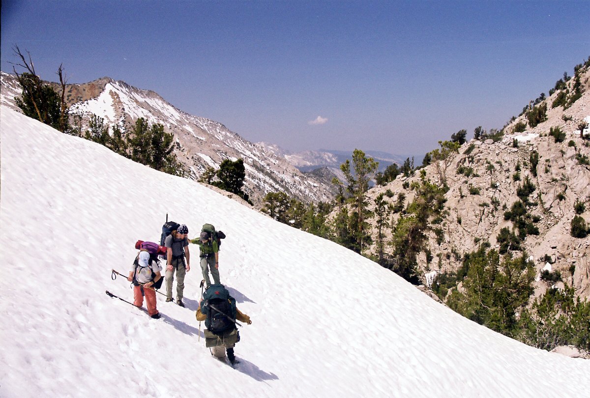
Postholing in the soft early season snowpack
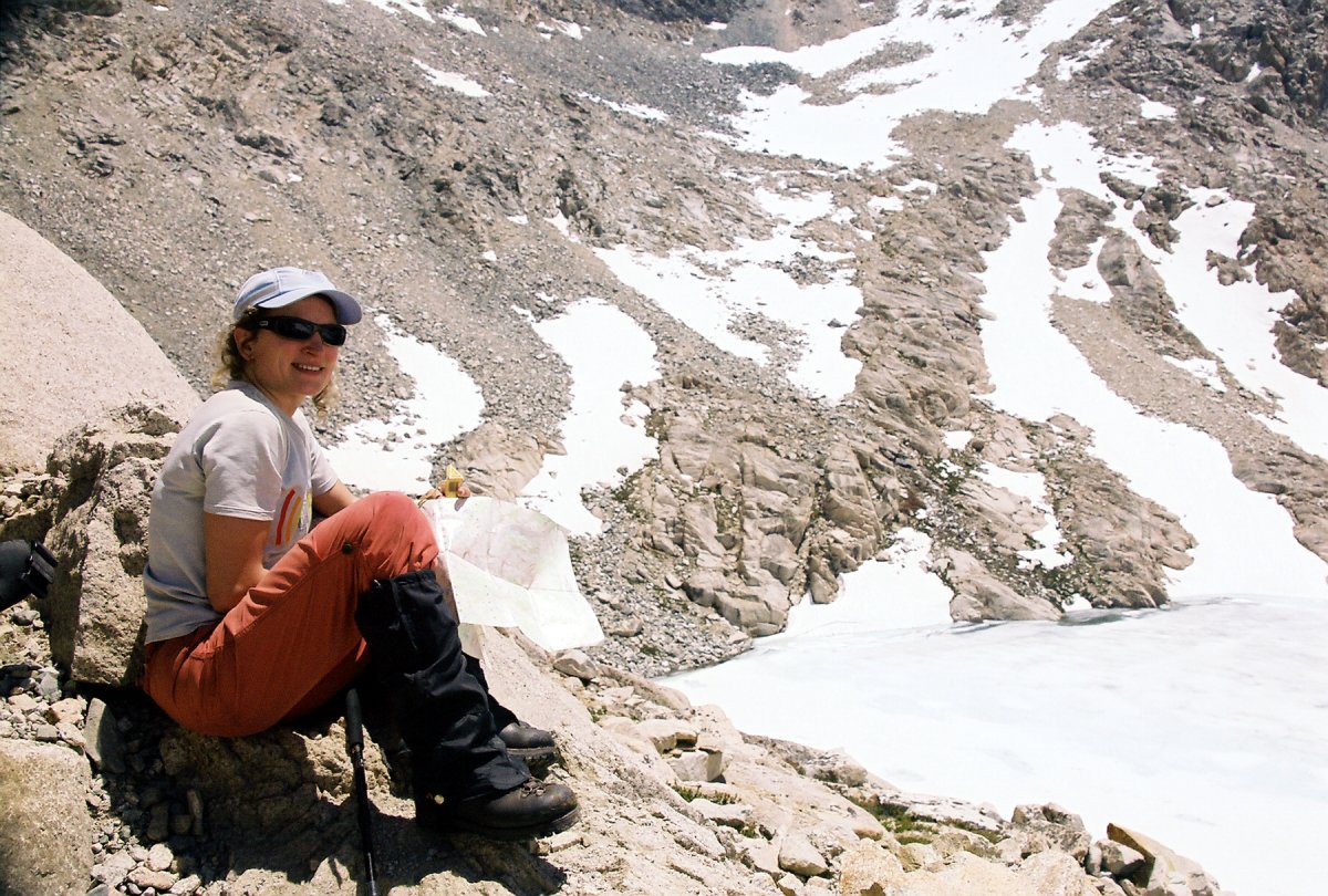
We made it! Time for another sample from the various chocolates that Patricia brought along.
As expected, the north side of the pass was covered by whole lot more snow. The rangers warned us to bring crampons and ice axes, which we did. My climbing gear was still in my backpack by the time I got to the icier spots, but by then the slope was too exposed for me fumble around with the backpack. So I just broke trail by kicking steps. I went for a short slide at one point, but I quickly managed to arrest with the assistance of the hiking stick and my arms. The others cramponed up while watching my misadventures, and everybody got back down in one piece. This was the first time that John and Garrett got to use an ice axe. There is nothing like learning by descending down an exposed icy slope. Trial by fire, I say!
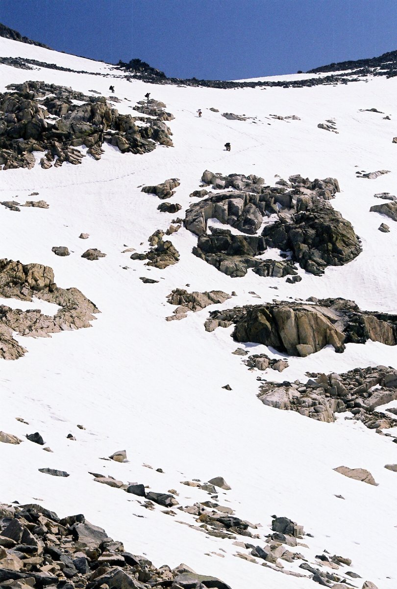
The descend down from Glen Pass was a bit sketchy, since this exposed side was still covered by snow and intermitent ice patches
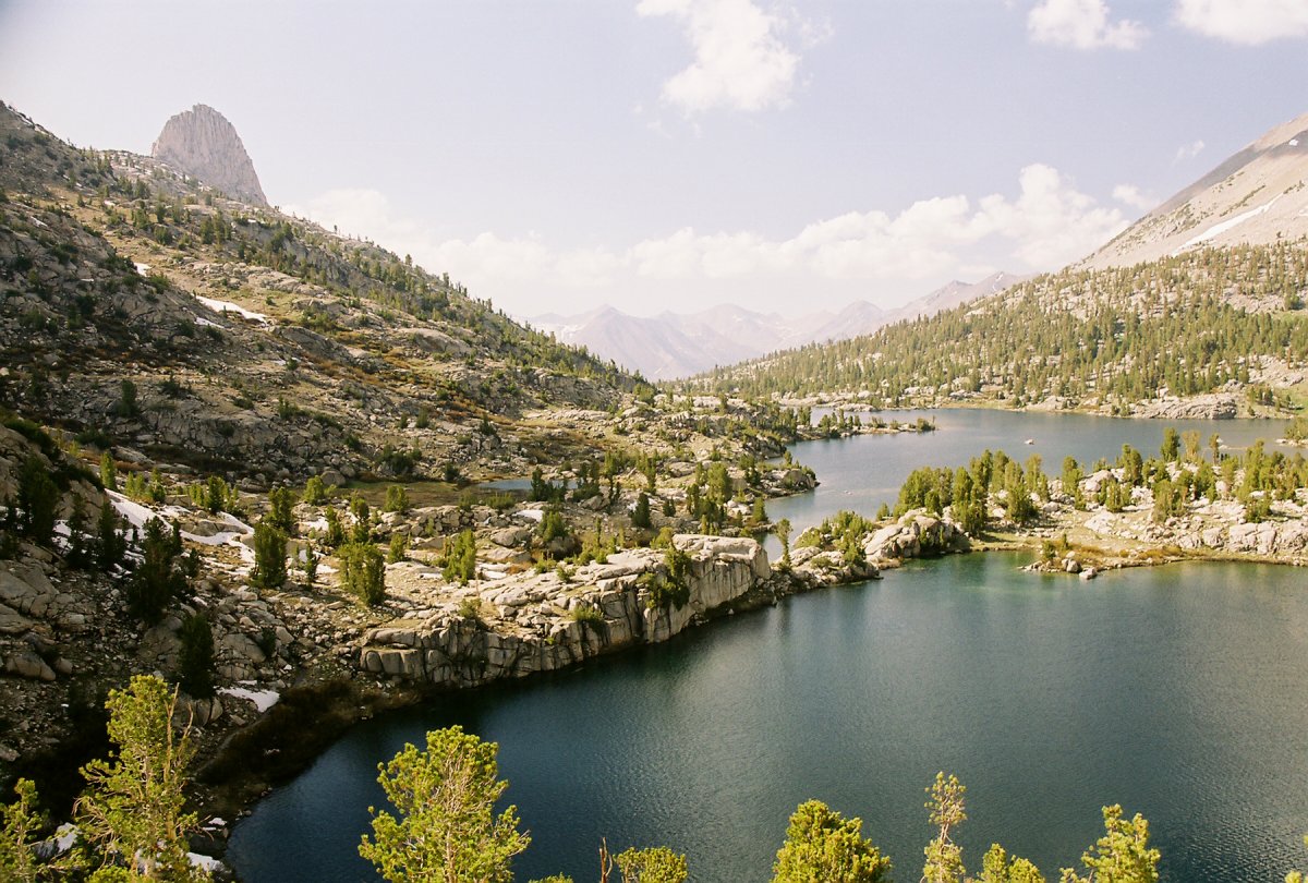
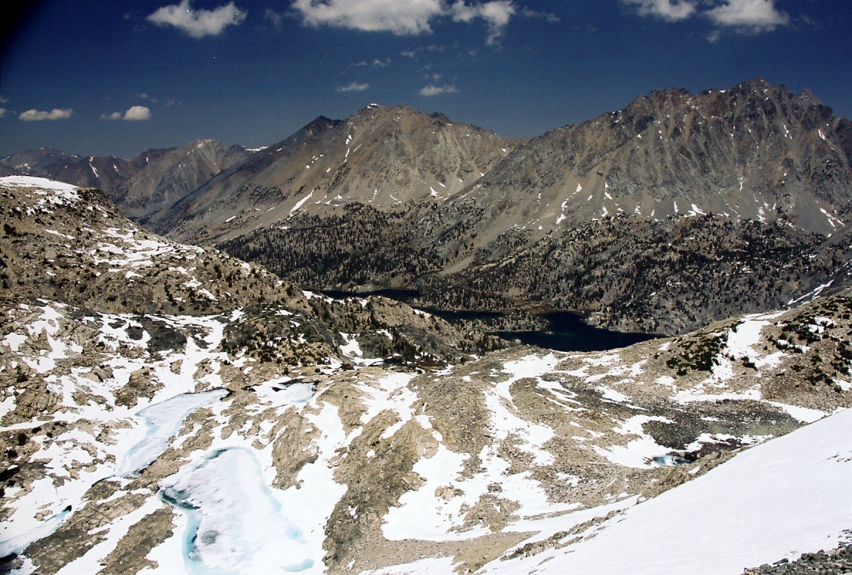
Rae Lakes with the Fin Dome protruding over the ridge
A solo hiker heading in the opposite direction crossed our path at the bottom of the pass. I am sure he was glad we just broke a trail for him in the snow. This was the only third time we had company since leaving the Bubbs creek junction. The other was a group of two guys sharing the campsite with us at Vidette and a couple hiking from Charlotte lake. We didn't see anyone else until the next day as we started getting closer to the trailhead. We planned on spending the second night at the junction where John Muir Trail veers off, but crossing the pass took much longer than anticipated. We stopped at Dollar Lake instead. An ideal looking campsite was closed off for re-vegetation, so we settled for a flat, but a very rocky patch near the creek.
Part two of my cooking extravaganza was supposed to be a hiker-friendly version of Slovak stuffed dumplings, buchty na pare. However, there were few issues. First of all, I didn't bother making the right dough, and just used Bisquick. Second, I boiled them in water instead of steaming them. The result was apricots covered by a gooey dough-like substance. But, there is nothing that a bit of cinnamon and sugar won't fix. The dinner ended up being fairly edible, although nothing like what was expected. The next morning, after another Bisquick related misadventure (this time in the form of pancakes), we headed out for the long trek out. We only managed to cover 9 miles on the second day, which meant that we had about 19 to go. Soon after leaving the campsite, we came upon a creek crossing, which required fording. Once again, I was glad to have brought along my sandals. Later, we crossed the Woods creek on a suspension bridge. I have never walked on such a thing before, and this was a definite highlight of the trip. I wonder how many people end up getting sick: I almost did. Still, I'll be looking forward to this crossing again on the JMT.
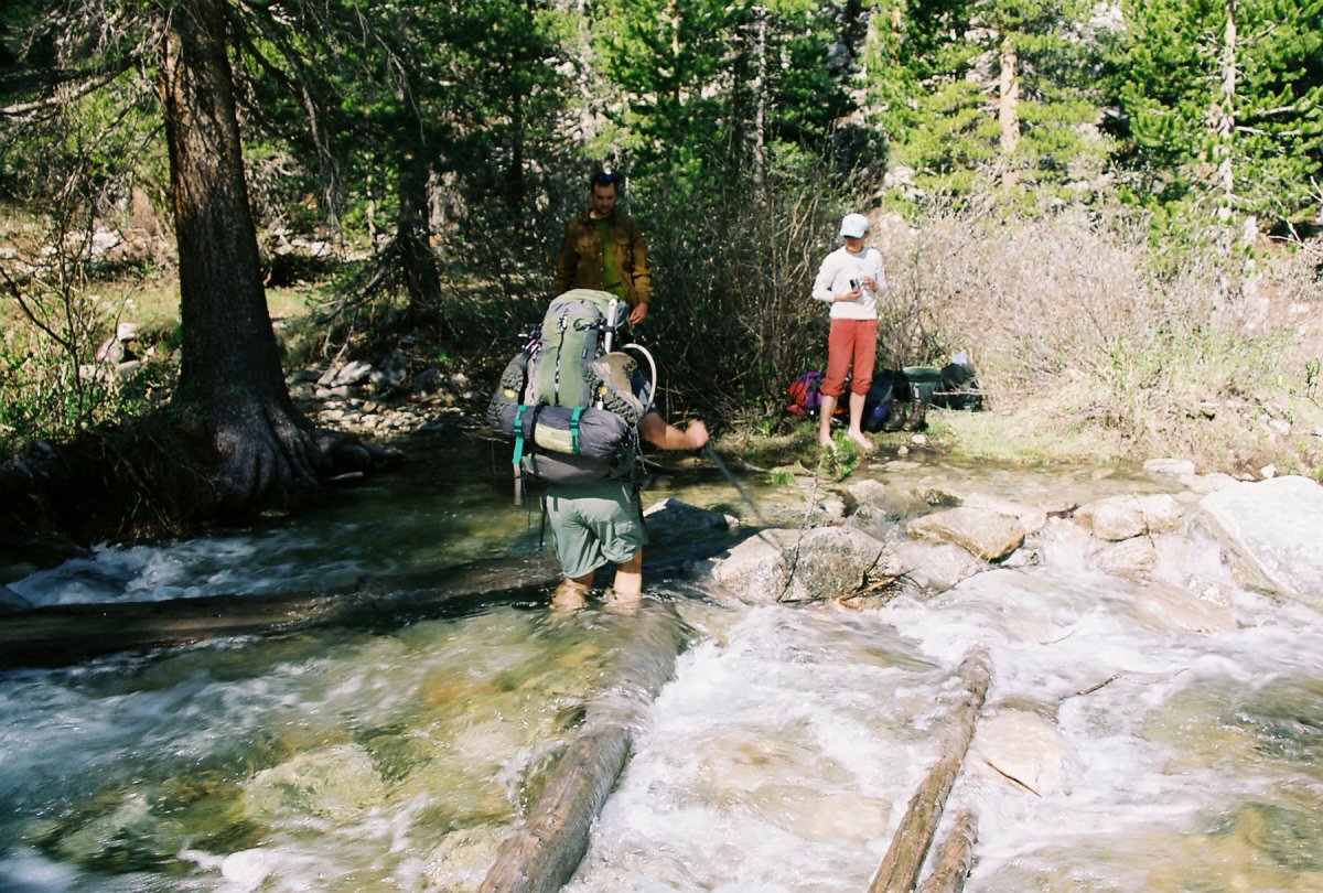
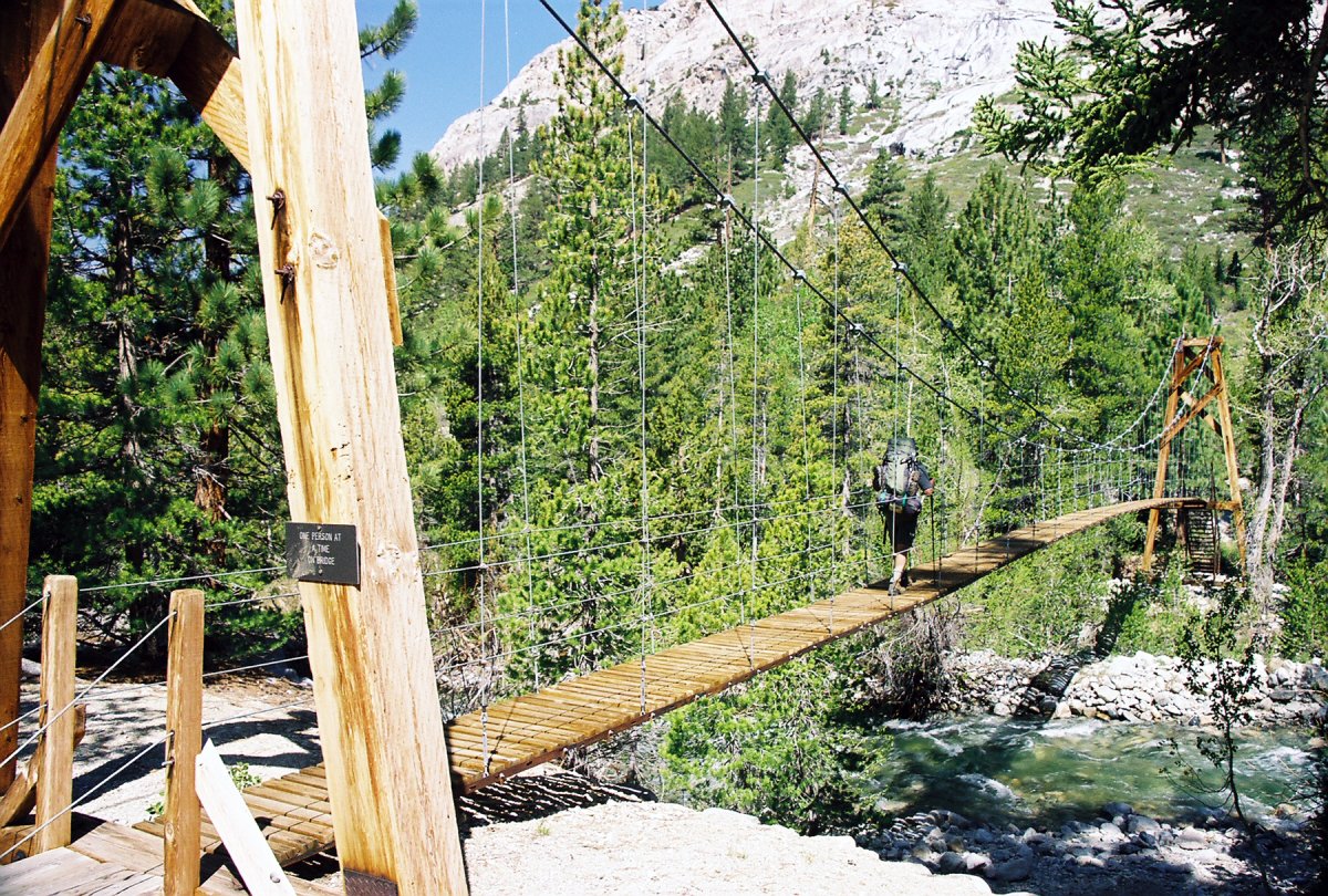
Fording across the south fork of the Woods Creek and a later suspension bridge.
Soon after, we spotted our first (and only) bears: a black mom bear with two brown cubs. They were leisurely walking on a hill above the trail, so I thought I finally succeed in photographing one. Yet, despite the three pictures I took, I only added a new entry to my collection of blurry bears. John and Patricia took off soon after, as they had a longer drive home. Mike, Garrett and I continued the long haul back to the parking lot. On the way out we passed through Paradise Valley and saw the Mist Falls. They are quite an impressive show of nature's power. The water tumbles down various rocks and breaks down into a fine mist that can be felt hundred of feet away.
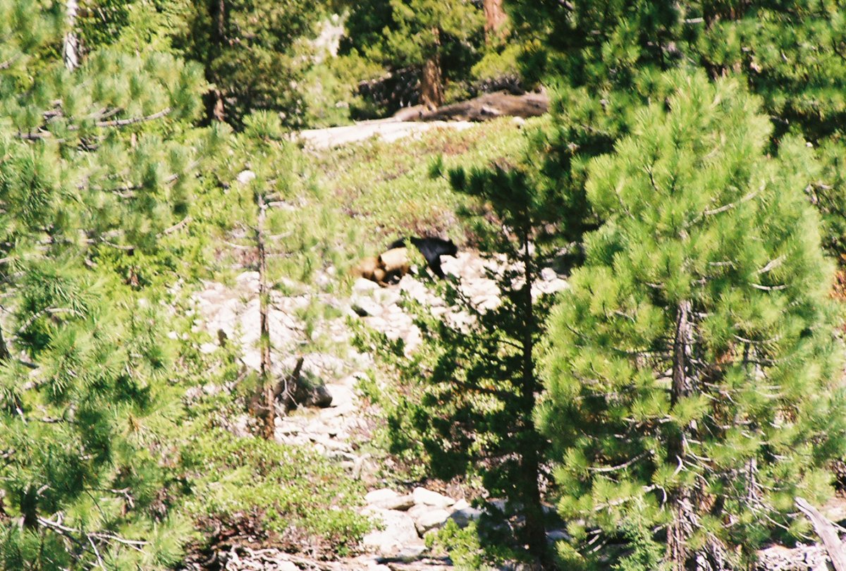
Blurry bears we saw on the third day
Hiking back along the Woods Creek
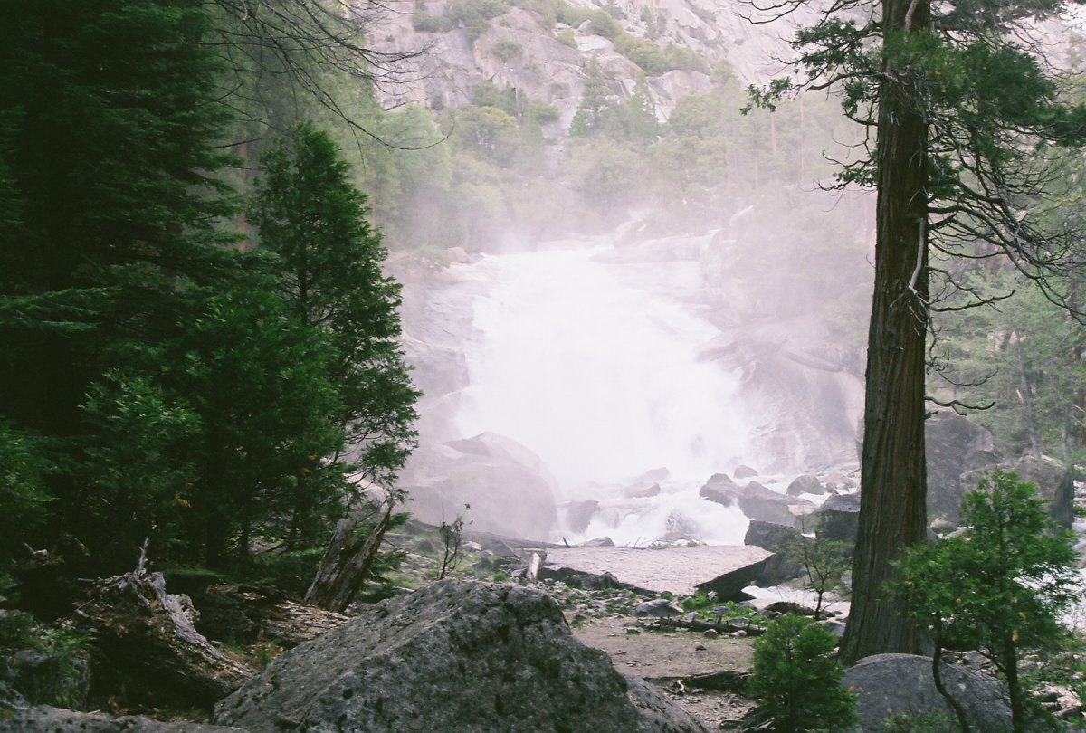
Mist Falls, located 4.7 miles from the trailhead
We reached the parking lot at 7:30pm and got back to Lancaster at 3:00am. This was partly due to a huge dinner we had in Fresno: fries, burger and a shake from Wendy's dollar menu and a chicken noodle soup with biscuits and heartlands scramble (scrambled eggs, bacon, sausage, hash browns and pancakes) at Denny's. It was quite tasty but I also felt pretty sick afterwards. My backpacking stomach wasn't yet ready for such an American-sized feast...