| home:u.s. highpoints:arvon | site map | navigation help |
|
Mount Arvon (MI) |
Elevation: 1979 ft
Date: May 28th, 2009
Group Size: 1
Miles Covered: About 2.5 roundtrip from where I left the car
Difficulty: It's the car that will take the beating on this one
Scenery: Pretty lake
The drive from Eagle Mountain took me through northern Wisconsin. This pretty country was dotted with artisan villages surrounded by spanning birch forests. The landscape shared many similarities with Siberia and the temperature further seemed to confirm this observation. Today it "warmed up" to mid 50s.
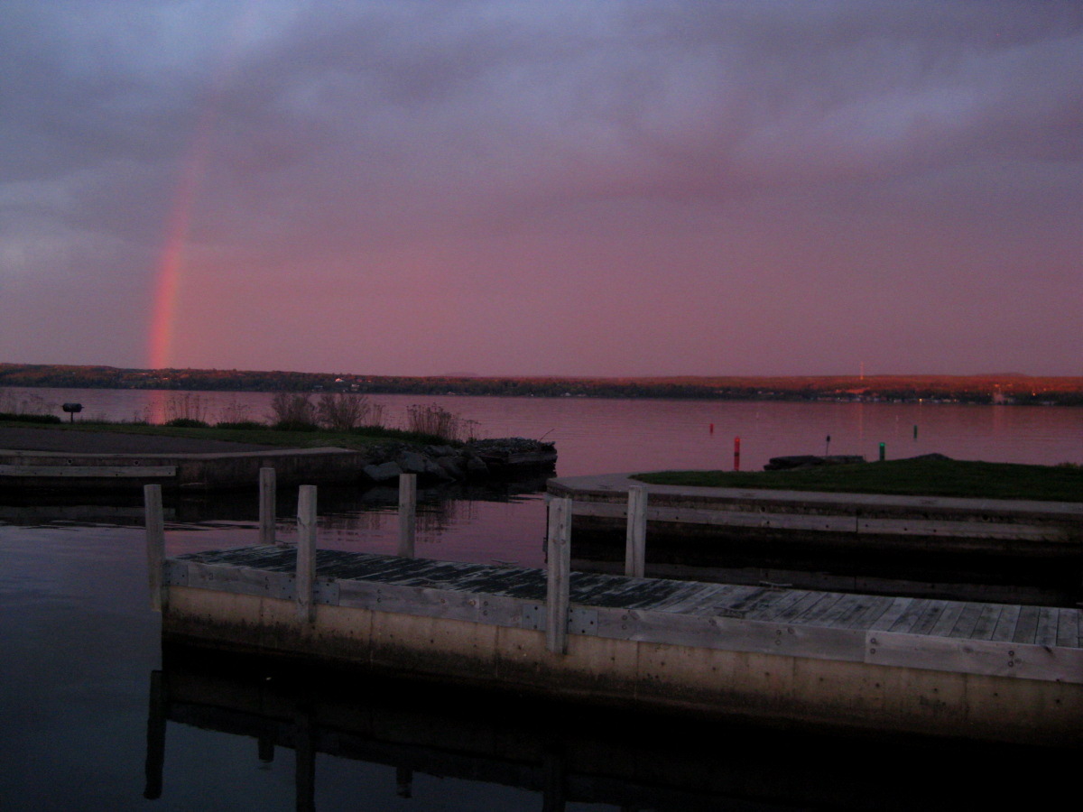
Spectacular sunset at the Best Western in Baraga.
The highpoint of Michigan is located some 20 dirt miles away from L'Anse. I drove into town around sunset, and stopped at the first (and only?) motel to inquire about a room. The guy who came out to greet me would not look out of place cutting down redwoods in a Canadian wilderness or trading beaver skins in the olden days. I got the feeling that I interrupted an intimate moment he was sharing in the back with Mr. Jack Daniels. The rate was good, some 30 bucks, but the hotel seemed little on the shady side. Hence I continued to Baraga, the next town over, where I stayed at the Best Western. The receptionist seemed surprised I was not in town on business. I was surprised that anyone would be here on business. Baraga, although a very pretty place, did not strike me as your typical business conference destination.
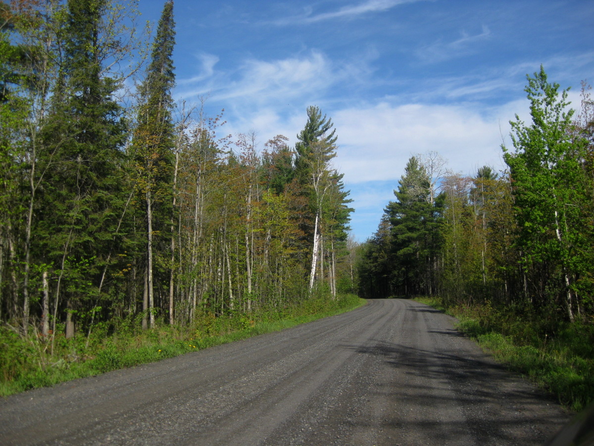
Road to the highpoint starts off on a nice gravel Ravine River road, but ends in a mud field likely requiring a 4x4.
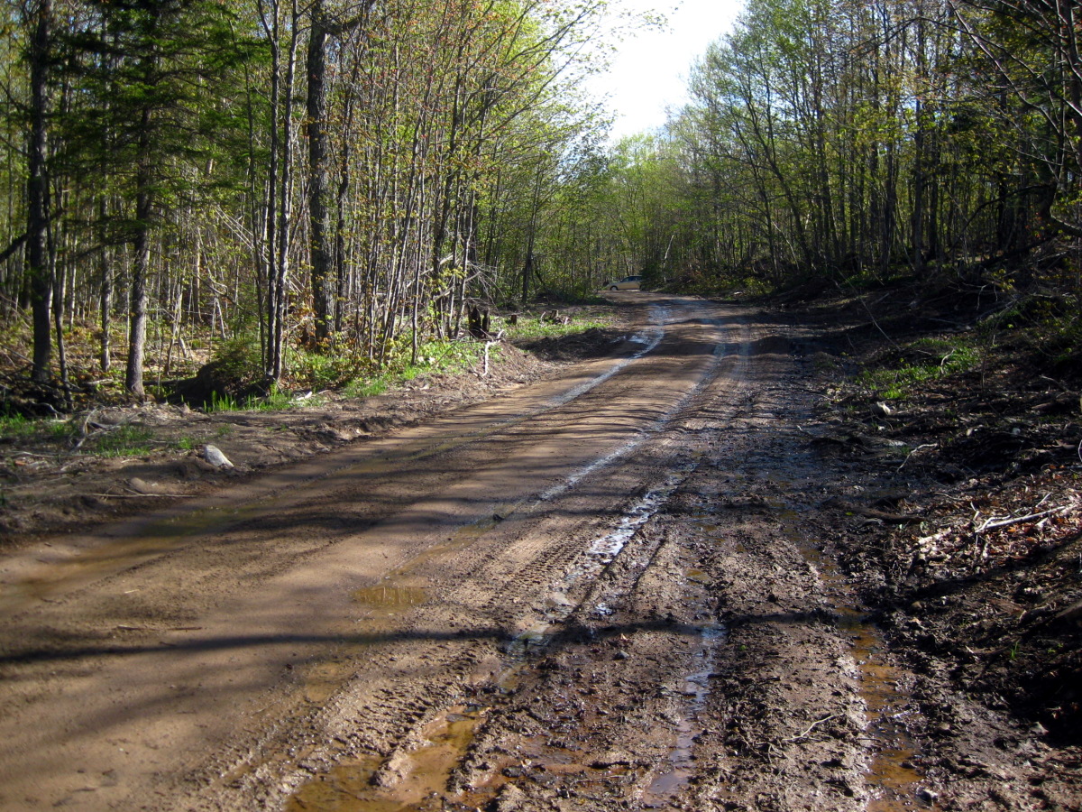
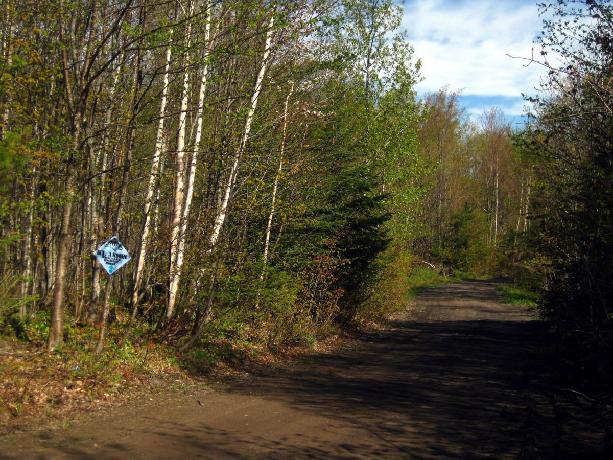
This hotel did not include a free continental breakfast, so I grabbed some eggs and sausage in the hotel's restaurant. The drive to this highpoint starts off on Main St in L'Anse. Following directions in Winger's book, I took a turn off 13.7 miles from town onto a road marked with a boat launching sign. This is Church St, and it dead ends at Roland Lake. From there, the highpoint is 7.6 miles away, and from reading the description in the guide book, I was not sure how capable my car will be in reaching the highpoint. However, the road was very manageable, despite the past few days of occasional rain. The problematic section is limited to the last 1.3 miles. This road, a turnoff off the River Ravine road, is marked by a Mount Arvon sign. By the time I realized I probably shouldn't be driving on here, I was on a fairly steep slope with no possibility of turning around, or even pulling over. However, about 0.6 miles into the drive, I came upon a flatter spot, and this is where I left the car. This turned out to be wise, as shortly after I came upon a large mud field easily capable of swallowing a tire or two.
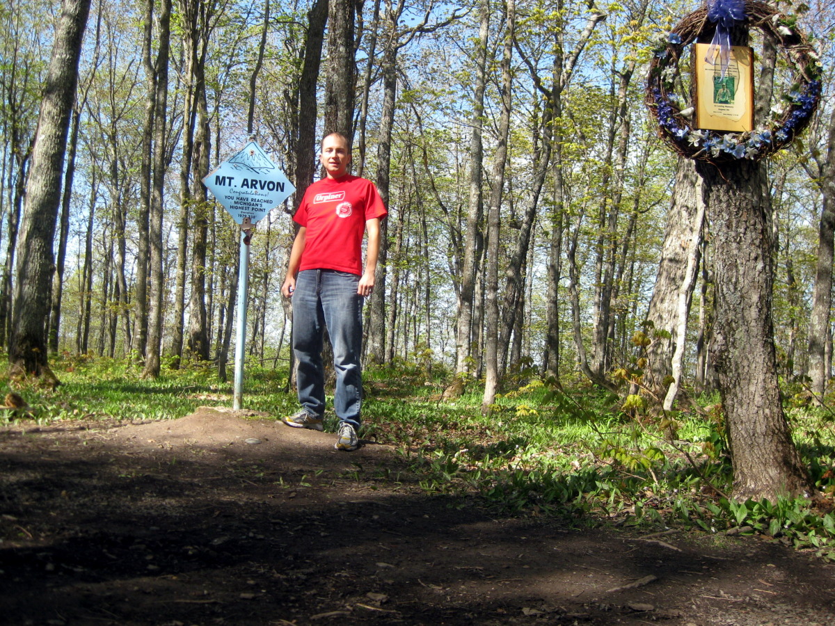
The "trail" and me on the summit
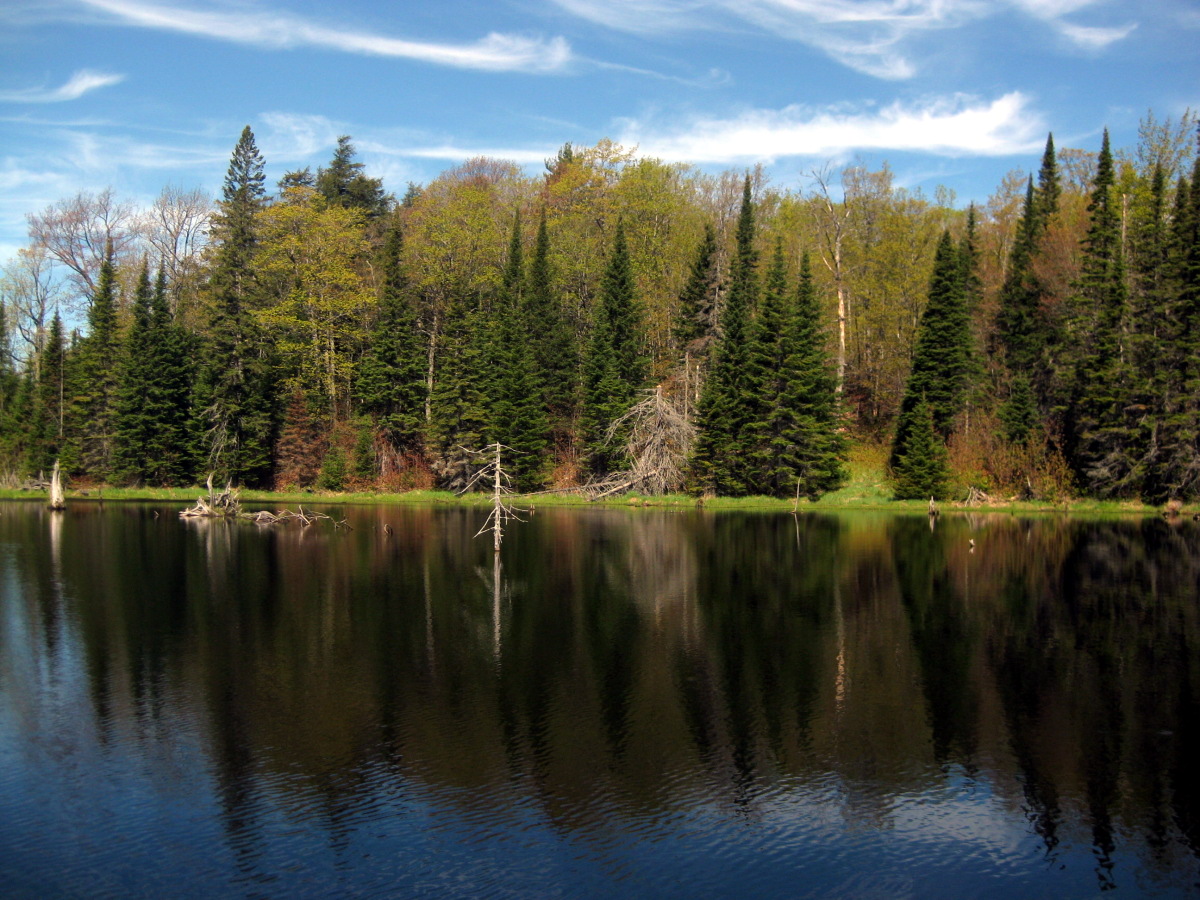
Lake by the official parking area. That's Mount Arvon in the background!
The road ended in another 0.7 or so miles in an empty parking area. From here it was another 10 minutes to the highpoint. A wreath surrounded a note telling a story of some older hiker who went hiking here some time back not to be seen again. I next ventured to the lake by the parking area and headed back to the car. Then back in L'Anse I stopped in the grocery store for lunch. I got lucky with this one. The store deli section sold cabbage noodles mixed with kielbasa. I picked about half a pound and continued strolling through the isles looking for more snacks when what I suppose was an air-raid siren went off in the store. It was very loud and alarming, but the other shoppers continued going about their business. I figured it must be some artificat from the second world war. The store looked about that age. I finished the tasty concoction in the parking lot and left for Milwaukee. It was time to celebrate Mike's big day.
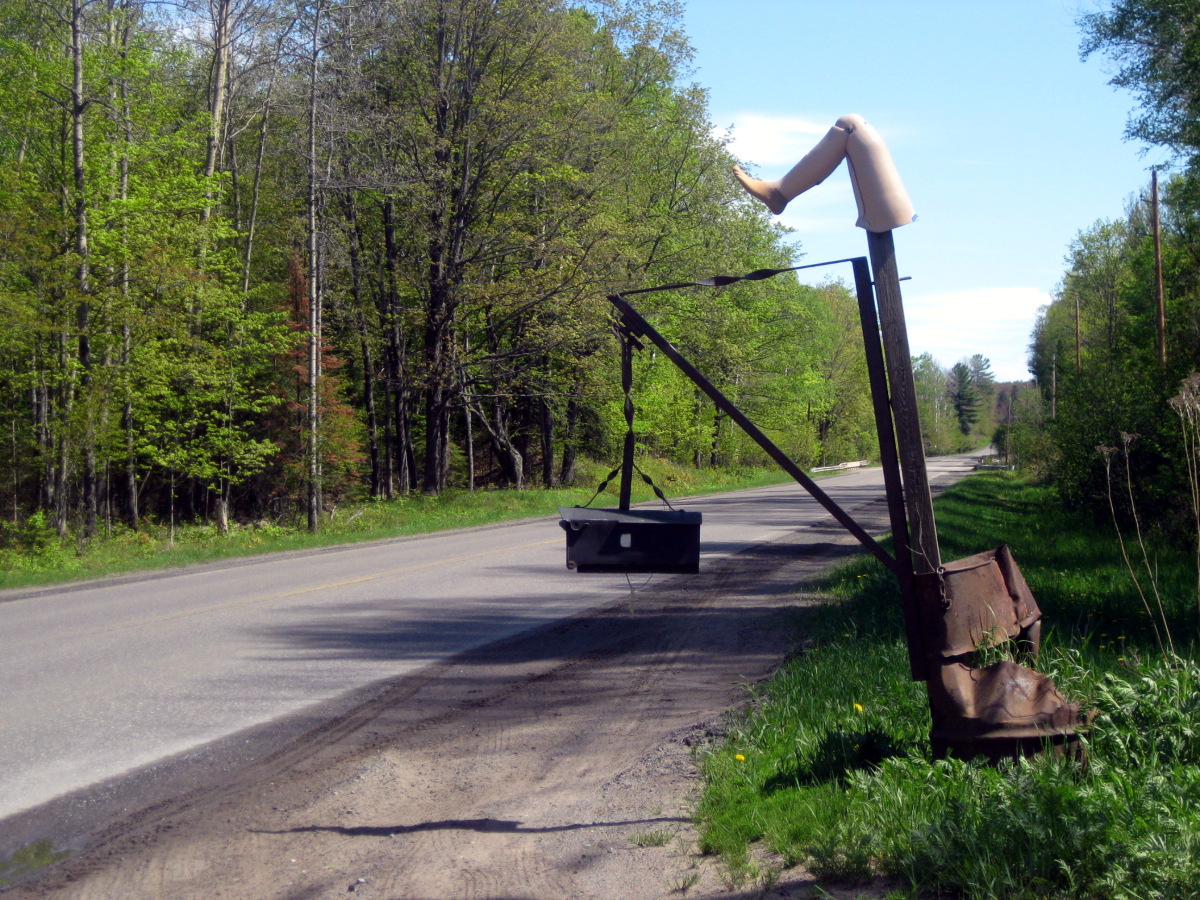
Interesting house sign back on Main St.