
| home:u.s. highpoints:sassafras mountain | site map | navigation help |
|
Sassafras Mountain (SC) |
Elevation: 3,560 ft
Date: March 14-15, 2009 (HP on 15th)
Group Size: 2
Miles Covered: Five minute walk
Difficulty: Almost a drive-up
Scenery: Wet and muddy
Now that I am back in school, I get to enjoy that little perk called spring break all over again. This year, a friend from school, Madhu, and I took off on a road trip to conquer my remaining eastern highpoints: SC, GA, AL and FL. For me, this trip was a chance to revisit the Appalachian back country. For Madhu, this was a chance to witness the America that lives beyond the glitz of Washington D.C. and New York City. Madhu is an international student from India, and has called D.C. home for less than a year.
We started the adventure in style: by Madhu "camping" on the floor of my tiny room. I am renting a room in a house which experienced the economic downturn first hand. The previous owners ripped out all the flooring from the living room before being escorted out by the sherriff's deputies. The new owner is still working on reviving the living spaces. Since it's been over a year since he bought the place, I must say there has been more of "working on" than "reviving". That evening we (this we includes my roommate Omar) visited a barbeque place that recently popped up in the neighborhood. We were served southern food in the proper assembly line fashion. Not even a minute passed from the time the waitress (a towering hunk of imposing female flesh) brought out drinks in jugs the size of small buckets, and the briskets and pork made their appearance.
Map of our journey. The yellow markers indicate the four highpoints.
We left the next morning under cloudy skies, which soon turned to drizzle, and then to rain. The weather has been very undecided this winter. Just not even two weeks ago, we got blanketed by a foot of snow. Few days later, the birds were singing in a sunny 70F afternoon. Then, the rain and cold came again. The fog was so intense, that Madhu had to take my word that we were passing through some beautiful landscape where the Blue Ridge mountains line the road. I decided to stop at the Walmart in Christiansburg to pick up groceries. Through bad luck (or maybe fate), I managed to get lost and ended up in Blacksburg. I've been back few times since my Virginia Tech days, but the change I just witnessed was rather dramatic. The town is fast becoming another Strip Mall, USA. Who needs charm and character, when you can have Payless, Panera and CVS on every corner? Sharkey's was still there, although, even the Sharkey's of my grad school days was not the Sharkey's of my undergrad. The bar moved from a small cozy building to a large building previously occupied by a dance club. You can stretch the tight-knit feeling only so long until you become just another soul-less restaurant serving wings and beer...
After a quick tour of the university (they built a new engineering building!) and a stop at Kroger, we hit the road again. We headed down I-81 to I-26 to Fletcher, NC, a suburb of a suburb of Asheville. Here we stayed in the Econolodge next to the freeway. The room was nice, but I have to laugh everytime I think of the name. Econoinn or Ecomotel would have been fine, but lodge? Where are the deer antlers and the fire place? Dinner was at La Carreta, a Mexican restaurant few miles north on US-25. The food was great and authentic. So authentic in fact, the waiters spoke only little English. I had fish tacos and Madhu had a grilled chicken dish and his first ever margarita.
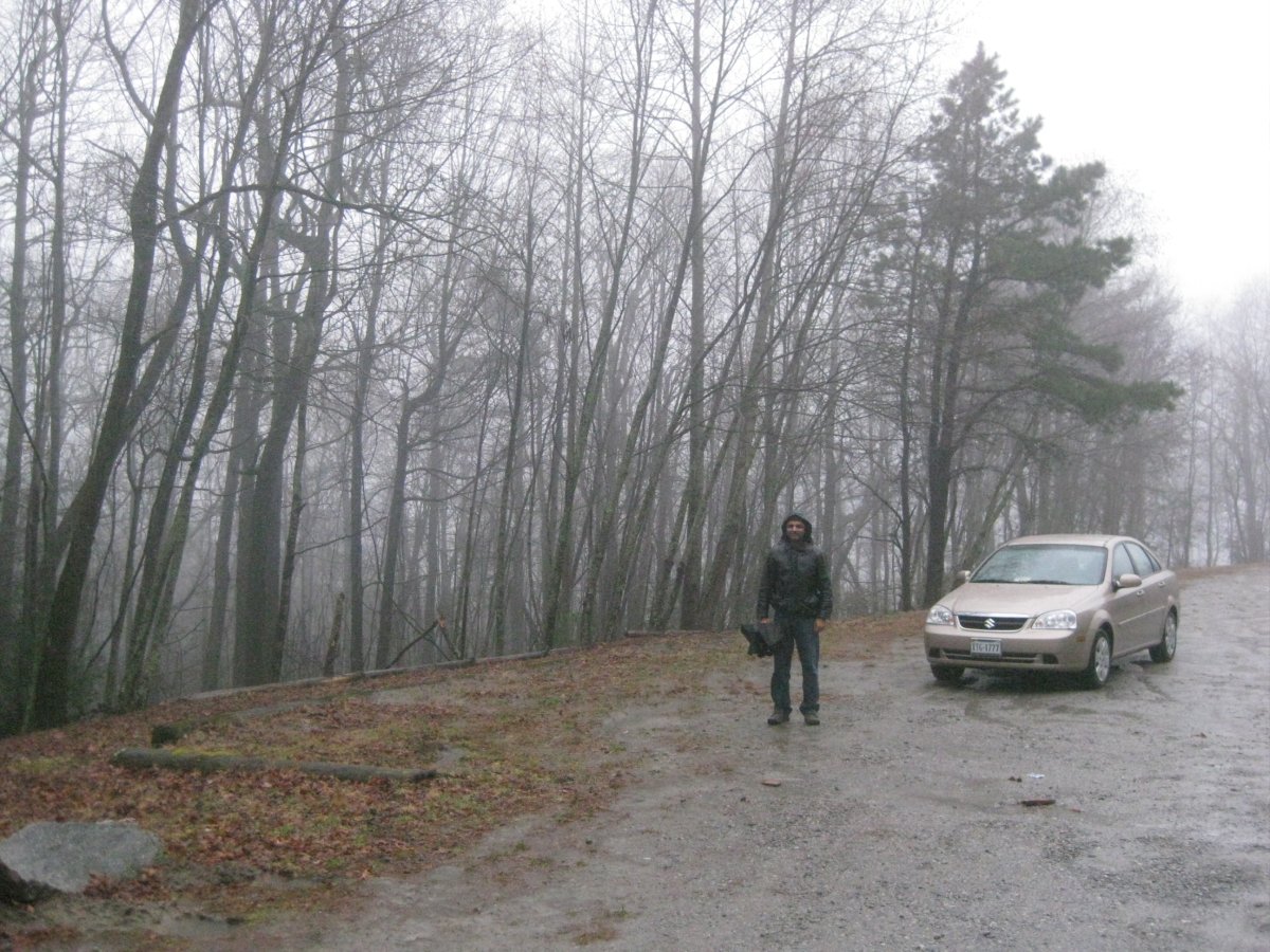
Parking lot located before the gate ending the road.
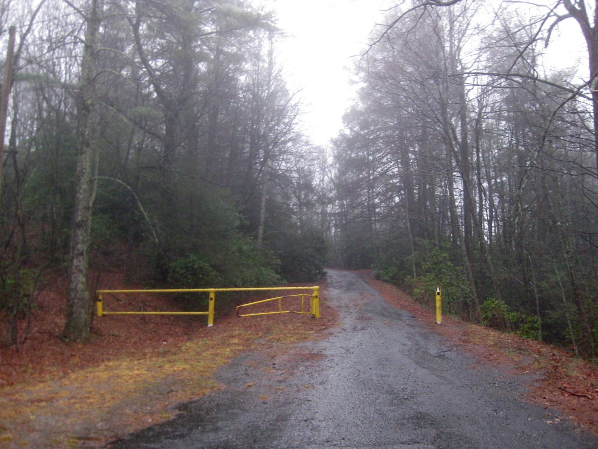
The next morning we drove in the pre-dawn darkness down US-280. In Rosman, we headed south on US-178 across the border to the town of Rocky Bottom. From there it was a short drive on S-39-199 (a pretty odd name) to a turn off that went up the mountain. This road had it's moments, but the car made it up the steep hills without a problem. The road ended in some 4 miles at a gate and a large muddy parking lot. From there, it was a short walk to the summit. We walked around for a bit, looking for the survey marker indicating the high point, but finally gave up. The rain was quite relentless and the fog obscured any views from the top. From here, we headed towards Georgia.
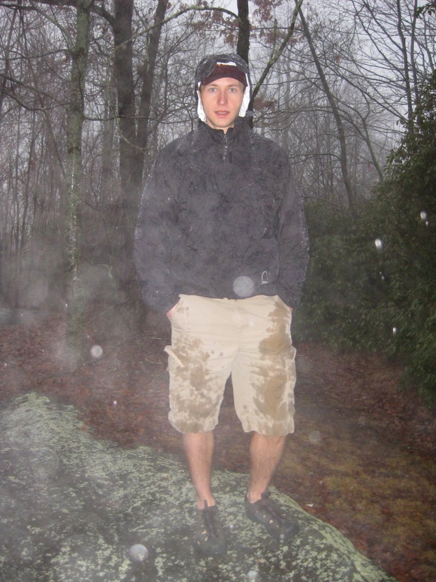
I couldn't find a marker indicating the actual highpoint, but this rock seemed like a good place for the summit shot.

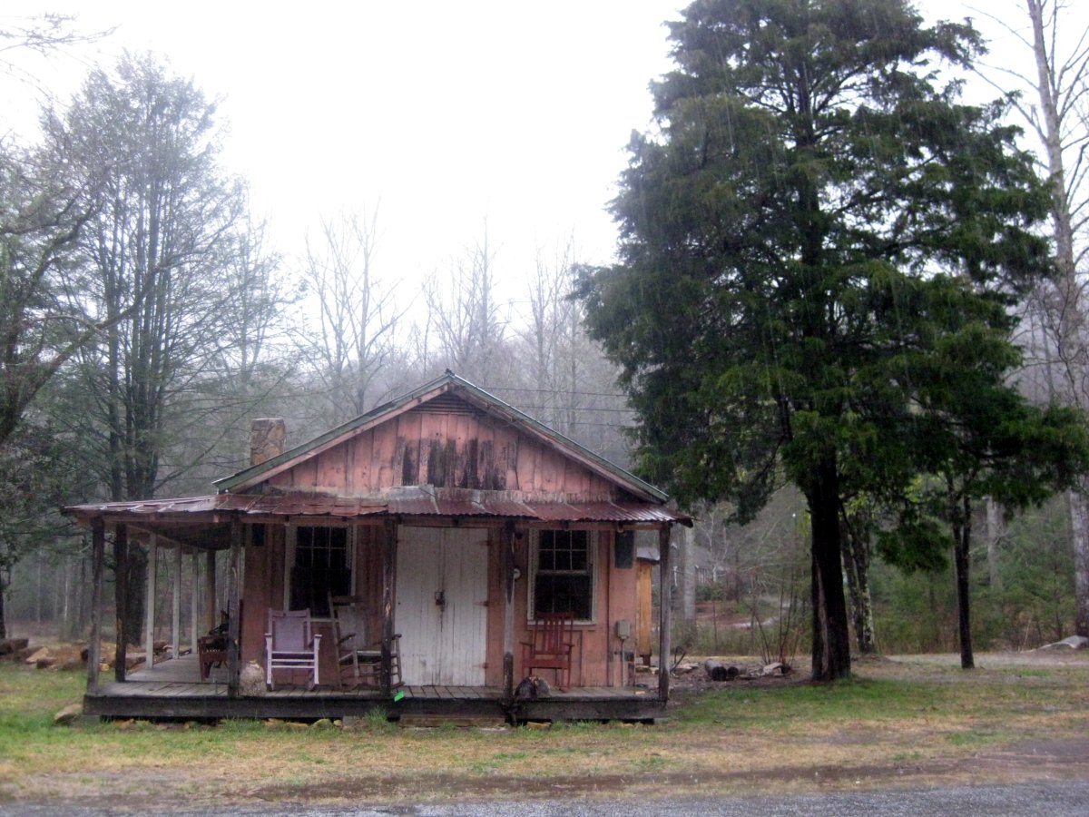
Madhu's highpoint #1. An abandoned house on S-39, right before the turn off. Looks like the folks living there have finished all their rocking...