| home:u.s. highpoints:brasstown bald | site map | navigation help |
|
Brasstown Bald (GA) |
Elevation: 4,786 ft
Date: March 15, 2009
Group Size: 2
Miles Covered: 1ish
Difficulty: Hike up a smooth, paved trail
Scenery: Mossy forest with great views from the top (when not cloudy)
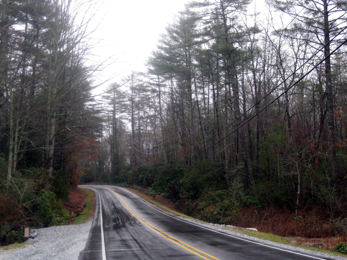
From South Carolina, we headed back north to Rosman and to US-64 west. This mountain road took us through Sapphire, Cashiers and Highlands. There we picked up south western 106 to US-441 south. In Clayton, GA, we headed west again, this time on highway 2. In Macedonia, we made another turn south, and continued on 17 to 180 west. The highpoint is located at the top of a road called 180 Spur.
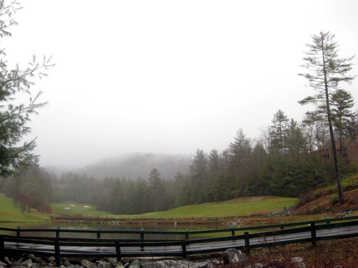
US-64 and a golf club near Sapphire, NC
Driving through this pristine back country dotted with small mountain houses gave me an idea. When the time comes for me to study for the qualifying exams, I should look into renting a cottage in the woods for a month or two. Few bags of rice, some beans, dried vegetables and trunk full of text books is all I will need. Sipping coffee in a rocking chair overlooking a forest with only birds for the company would be a neat way to get through "Vectors, Tensors, and the Basic Equations of Fluid Mechanics". Madhu also liked this part very much. I think that until this trip he has not realized that USA has so much space to offer once one leaves the bumper-to-bumper congestion of the cities.
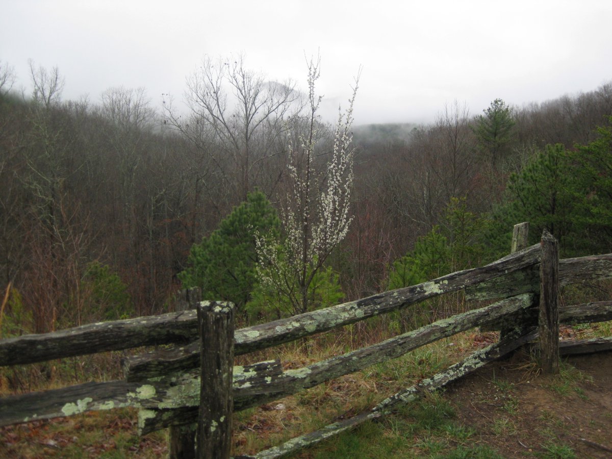
Popcorn Overlook in Chattachoochee National Forest.
The road terminates at a large parking lot. From here one can, in the tourist-friendly summer months, take a bus to the summit. Today the parking lot was nearly deserted, and the souvenir shops were closed. A very nice and gradual paved path lead to the summit. One the way up we passed two elderly gentlemen slowly making their way up. The summit looked neat, with the observation tower obscured by a dense fog. We spent about 10 minutes walking around, and ingesting the 360 degree panorama of clouds.

Paved trail leading to the summit. The trail was less than a mile a long.


And here it is, the highest point in Georgia.

Madhu on the observation platform.

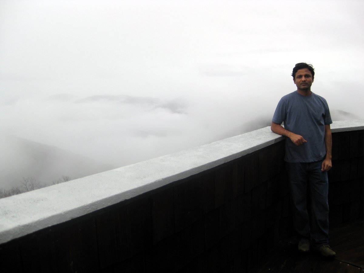
The view from the top. Too bad it was of the clouds.
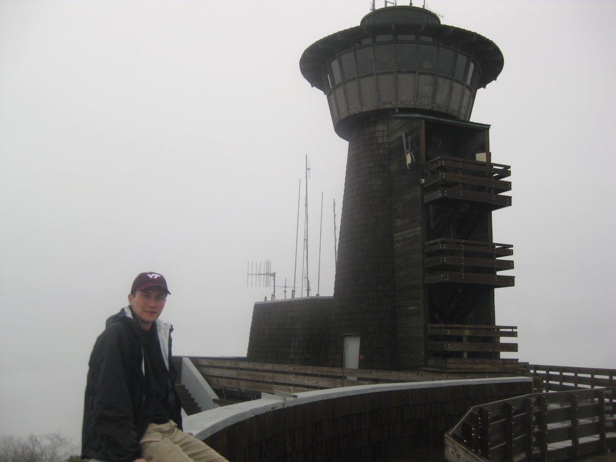
Photo of me
The two gentlemen reached the top about 10 minutes after us. We turned back to give them their own chance to experience the solitude on top of Georgia. We walked down to the car and hit the road again. For the extra company, I picked up an audio book at my local library. Not having much time to research the collection, I grabbed a book with a title that struck me as interesting. The book was "Blue Highways - A Journey into America" by William Least Heat-Moon, narrated by Frank Muller. What a great find and a great coincidence! The author recaps his 13,000 mile journey around the country on secondary highways (which used to be colored blue on the old maps - the color now reserved for the interstates the author tried to avoid). The journey (a map can be seen here) started with Kentucky, South Carolina, Georgia and Alabama - the states we were passing through. So not only did we get to see the backcountry, we also got to experience it through the interesting characters the author encountered on his adventure. Listening to the stories we headed to Alabama.

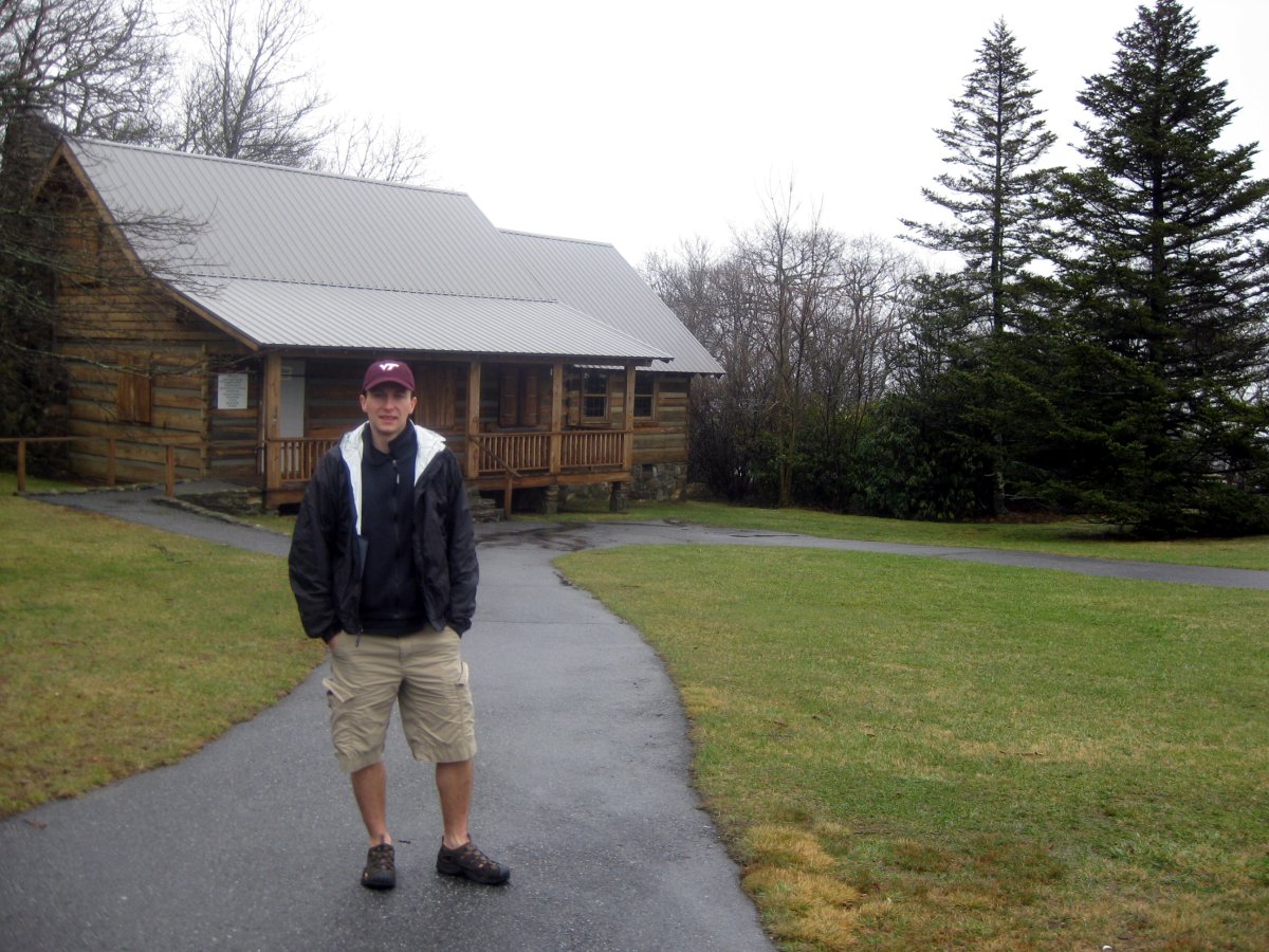
Just a few more photos down by the parking lot.