| home:u.s. highpoints:timm's hill | site map | navigation help |
|
Taum Sauk Mountain (MO) |
Elevation: 1772 ft
Date: June 1st, 2009
Group Size: 1
Miles Covered: 0.5
Difficulty: Paved trail
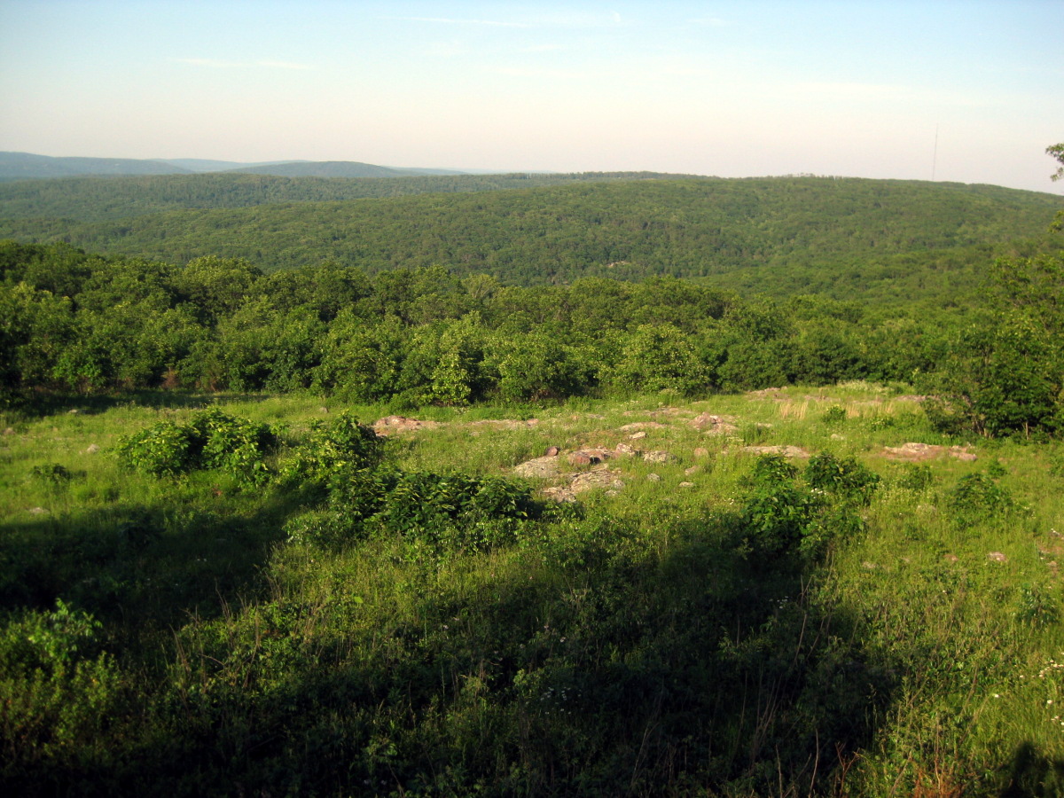
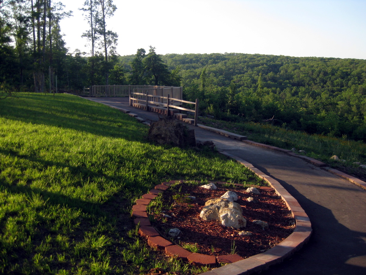
Scenery: View points on the way to the highpoint
The last stop on my 4,300 mile highpointing journey was Taum Sauk, Missouri's highpoint. The drive took me through the heart of Illinois, through St. Louis with its Gateway to the west arch, to the Ozarks and the town of Arcadia. I arrived at the highpoint little after 5. I was surprised to find another car at the parking lot, a Honda Insight, but the driver was nowhere in sight.
Viewpoint along the way to the highpoint
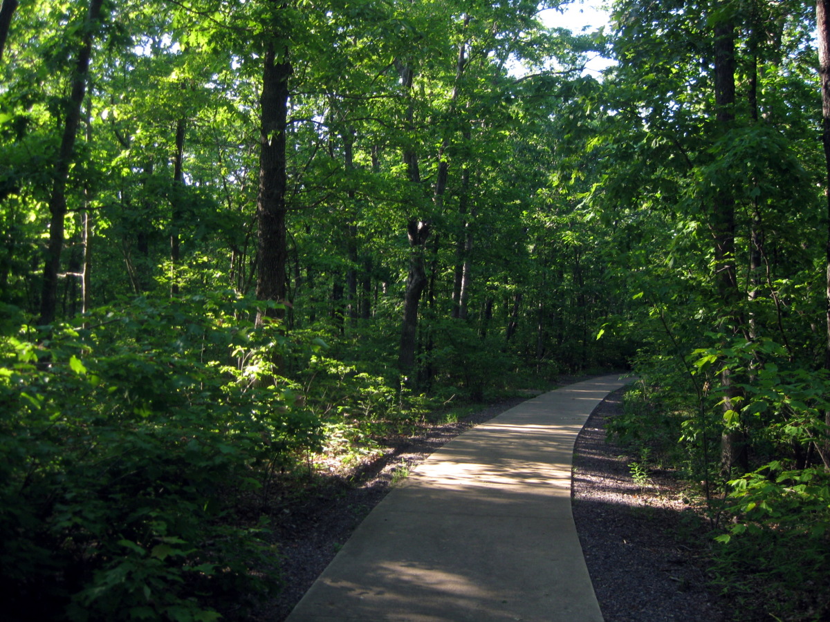

Wheelchair-able path leads through the woods to the highpoint

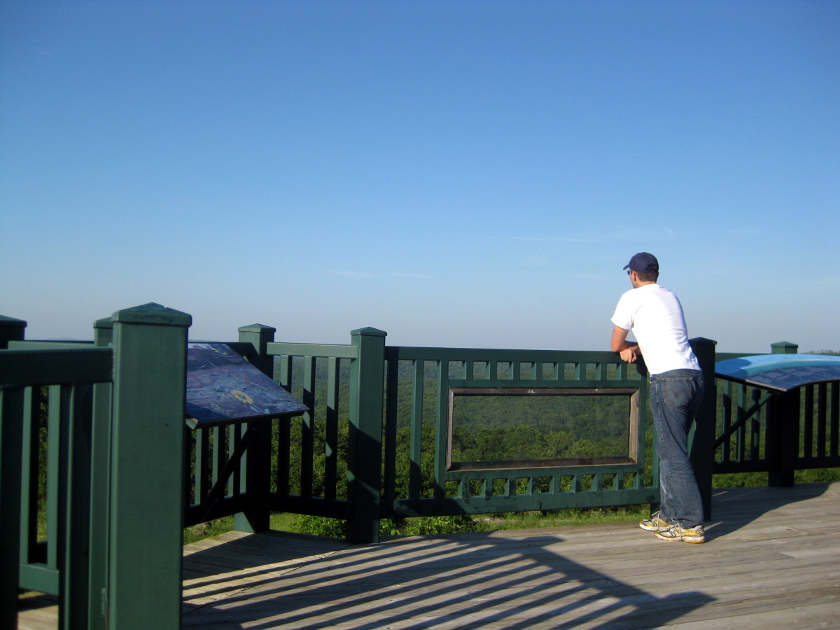
On the observation tower.
On the way back I stopped by the observation tower. This tower actually seems to host some sort of a meteorological contraption or is used as a transmitter. Regardless, the top area was off limits. The view was nice, but not comparable to the one from top of Timm's Hill. And about my shirt. I have not yet done the One Day Hike, but Sarah and I volunteered for the event. I will try next year. Later, I saw on SummitPost that this area boasts some neat waterfalls. If you are planning a trip here, these may be worth the short side excursion.
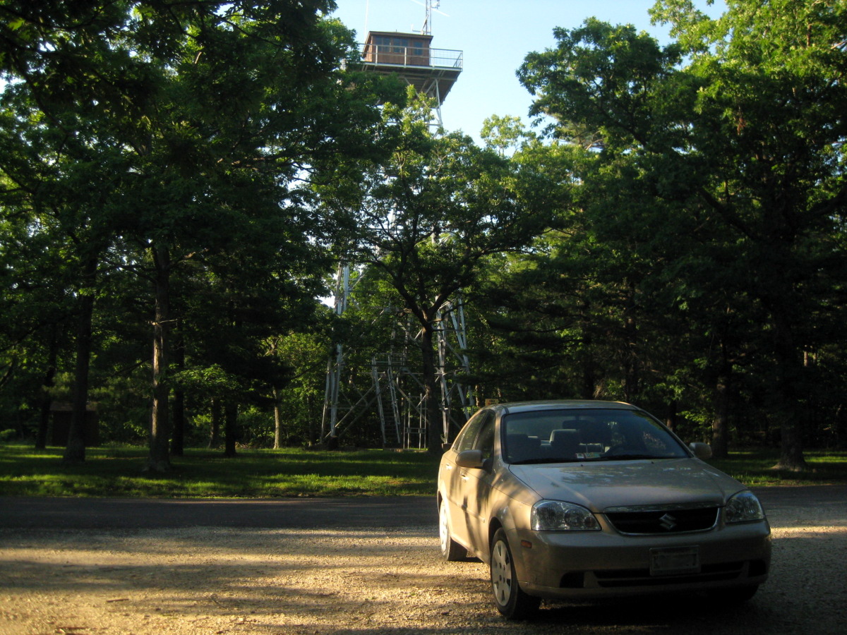
My car made another highpoint!
In Arcadia, I picked up more groceries. The prices at this small-town grocery store were much lower than what I am used to in my local low cost leader - Shoppers Food Warehouse. Maybe the whole economy of scale idea has some limitations. Larger store also needs to hire a larger workforce to stock the shelves. And being the only store in town cuts down on advertisement expenses. From Arcadia, I drove east on highway 34 to Cape Girardeau. I intended to find a place to spend a night here. The first set of hotels was in a busy shopping center and somehow did not feel fitting for my outdoorsy adventure. Hence I decided to continue my search. I figured I'll find some other, less busy area of town, but before I knew it, I was crossing into Illinois on a large illuminated bridge. Shortly after, I was heading north on highway 3. Here I plowed through a blizzard of bugs thumping on my windshield until I got to Ware. A sign notified me that I-57 was only 15 miles away. I figured that there surely will be a motel by the interstate, and I pressed on. To my dismay, the on ramp was located in a black nothingness. In my half-zombie daze I continued north. Bed finally came in Marion, 844 miles from home. The next morning I set off to complete the epic journey home. But it was not to be. The radio kept getting interrupted by those 'beep-beep The national weather service has issued a severe thunderstorm warning for the following counties...' messages. It seemed that the storm was north of me and moving east at 30mph. By the time I got to the West Virginia, the list of counties grew to include what sounded like the entire state. The storm caught up to me as I turned north on I-79. I had to pull over few times and even back on the road, it was not possible to travel above 50. I finally grew tired of the lack of visibility and the fireworks show, and pulled into a Microtel in Hazelton, WV. The only thing micro about this hotel was the room. The room, about half the size of a regular hotel room, went for 90 dollars. I finally made it back home on Wednesday, June 3rd, little before lunch. Only 4 highpoints left!