| home:u.s. highpoints:woodall mountain | site map | navigation help |
|
Woodall Mountain (MS) |
Elevation: 806 ft
Date: August 25th, 2008
Group Size: 1
Miles Covered: Drive-up
Difficulty: Gravel road which was passable even in rain
Scenery: Some radio tower and trash
From Driskill Mountain I raced my way to Iuka, MS, the nearest town to Woodall Mountain. I left the first HP just around noon, and Google was telling me that it will be almost 8 hours to my destination. Now, the highpoint of Mississippi is a drive-up, but still I wanted to get at least some views from the top. And also, the drizzle from the morning continued, and slowly turned into a steady rain. This was all due to the tropical storm Fay. After ravaging Florida was several days, the storm decided to continue its ways along the coast. Just in time to make my highpointing more exciting! Well, besides the fact that the rain made for a slower drive, I wasn't sure how passable the road to the summit will be in the rain. As it turned out, it's covered in gravel, and I did not have any trouble making it up. Or making it back down, which I guess is also quite important. I made it to the summit with some 45 minutes of daylight left to spare.
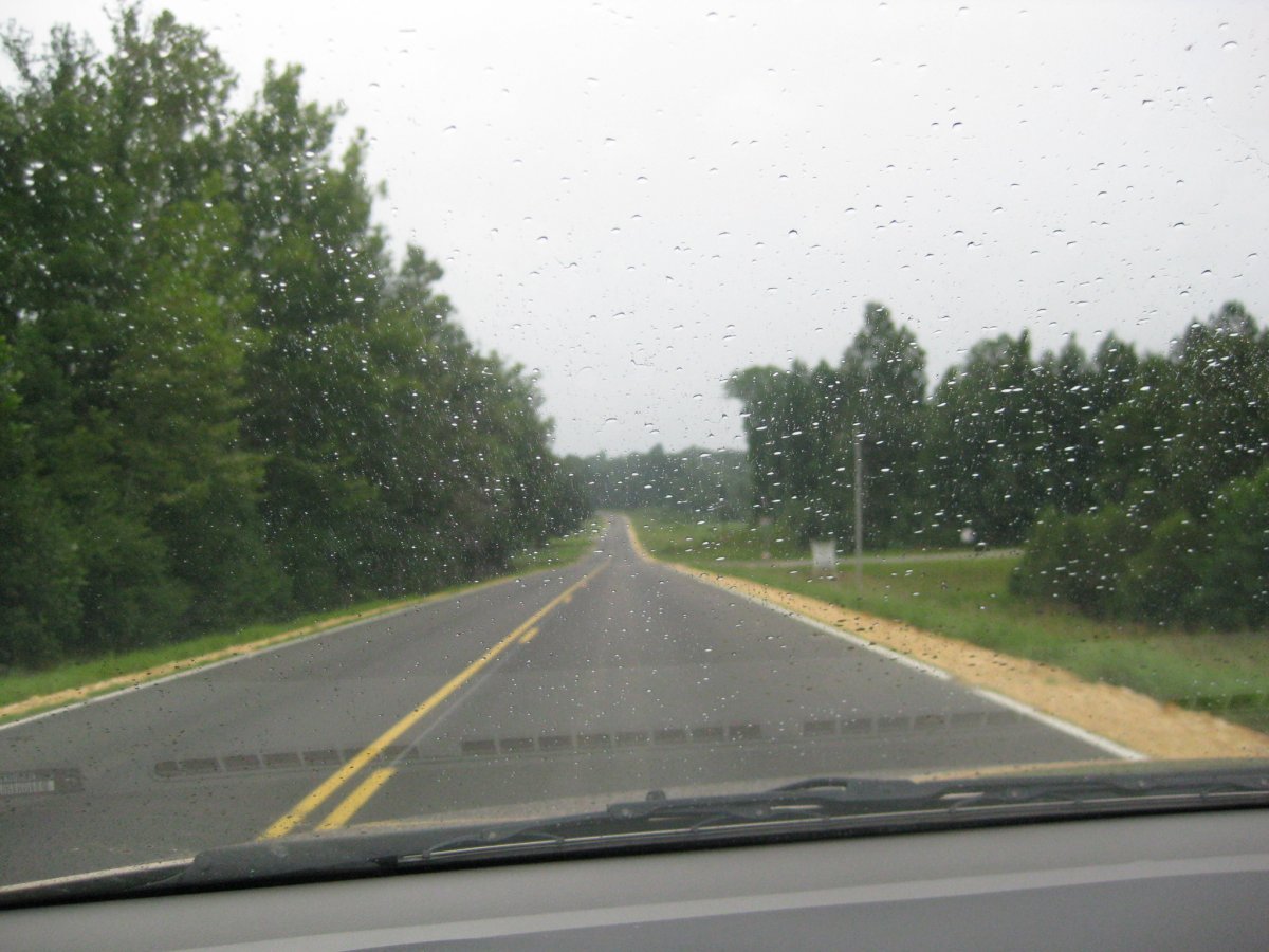
Scenery somewhere along the way. This could possibly be in Louisiana.
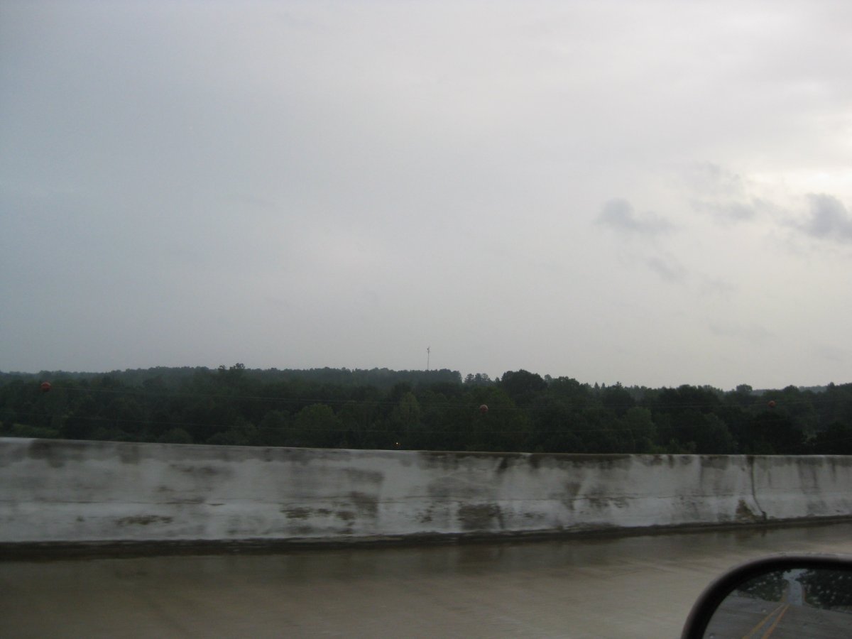
The hill with the antenna is the summit. This picture was taken on the bridge near Paden.

Leslie gave me a call just as I parked on the summit, so I took a picture of the neat timing.
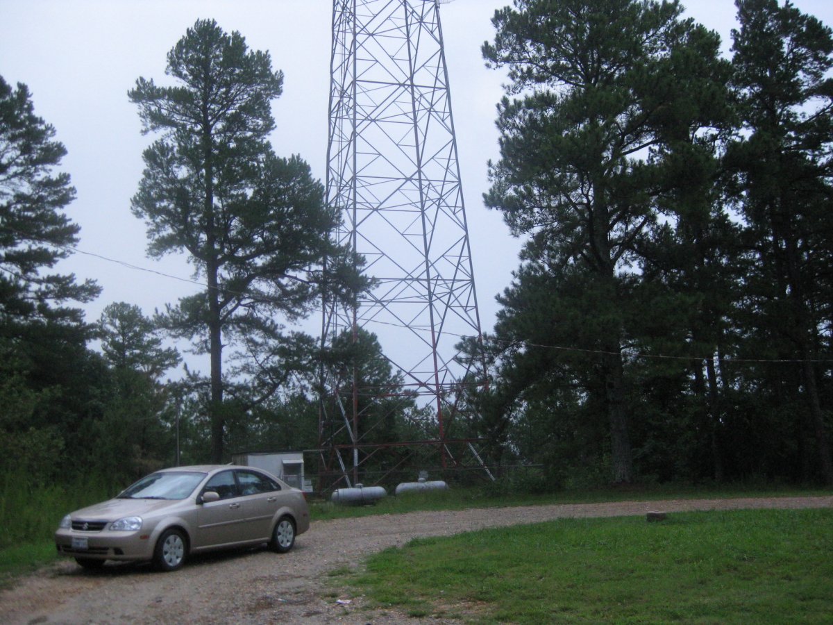
View of the scenery on the summit. It's mostly dominated by the radio tower and various support structures.

There is a also what used to be a bench.
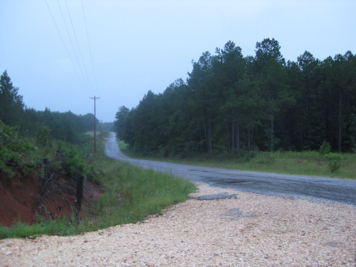
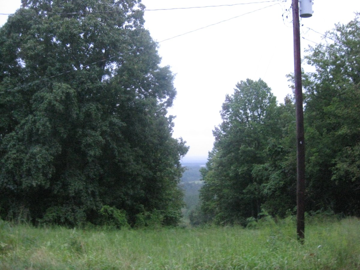
This is back at the turn off, looking on CR176.


These pictures are from the following day. I got quite the pounding from Fay! The rain started just as I left Jackson, TN, and didn't stop until 9 hours later when I got north of Roanoke, VA.