| home:highpoints:borah peak | site map | help |
| Borah Peak (ID) |
Elevation: 12,662ft
Date: August 15th, 2010
Group Size: 2
Miles Covered: 7
Difficulty: 5,262 vertical feet in 3.5 miles, plus many chances to take a long tumble down
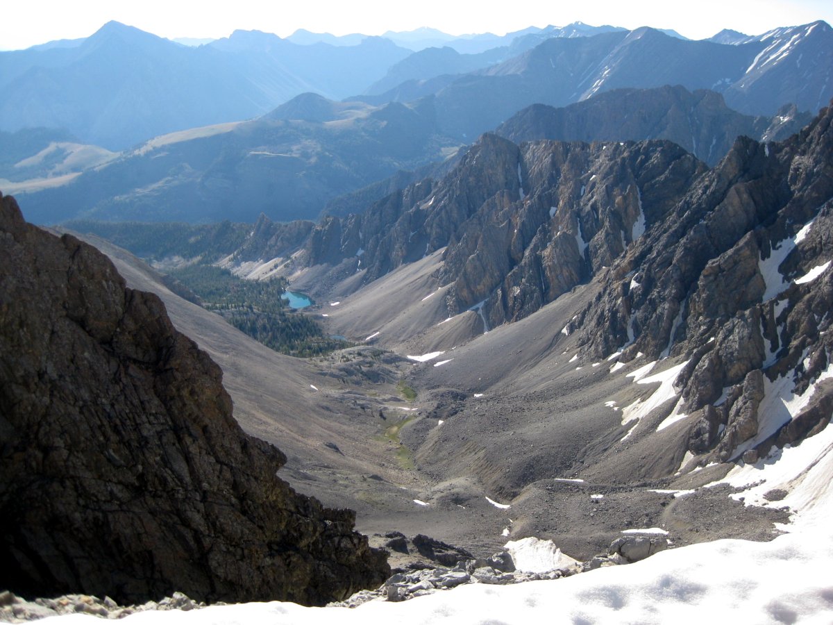
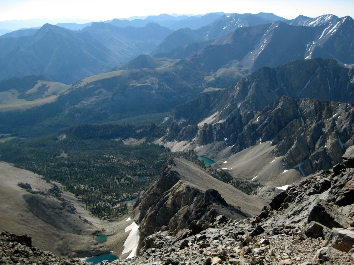
Scenery: Amazing view from the top: mountain lakes, jaggedy peaks, rescue helicopters...
We will be mounting a rescue tomorrow, so don't be alarmed if you see helicopters and rescue personnel. With these words, the sheriff parted as the darkness rolled down the Lost River valley and the Milky Way filled the sparkling night sky. Some guy fell off the Chicken Out Ridge. Welcome to Borah Peak...
Borah Peak, the highest mountain in the state of Idaho, has bit of a nasty reputation. There are two, quite justified, reasons. First is the sheer steepness of this hike. The route gains 5,262 feet in mere 3.5 miles! Then, there is the infamous Chicken Out Ridge. This is a long exposed stretch of class 3 scrambling, with heart wrenching drops on both sides. Somewhere out here is where the guy fell.
I ended up climbing Borah, my 47th highpoint, a week after presenting a paper at the SPIE Optics and Photonics conference in San Diego. It just turned out that Aroh, my peak buddy from Gannett, happened to be in Logan, UT the week following SPIE for the Small Sat conference. Aroh has climbed Borah before. He was to be my eyes up the rocky slopes. So after the conference, I headed up to Lancaster, CA, the place where I lived for three years before moving back east. I visited old friends, patronized familiar restaurants, got some tan. Then Friday the 13th I headed for Vegas, to visit an old roommate, James. We caught up over dinner at an Italian restaurant, and the next morning I took off on an 8 hour journey to Logan, UT. I picked up Aroh, and four hours later we found ourselves at the trail head talking with the sheriff.
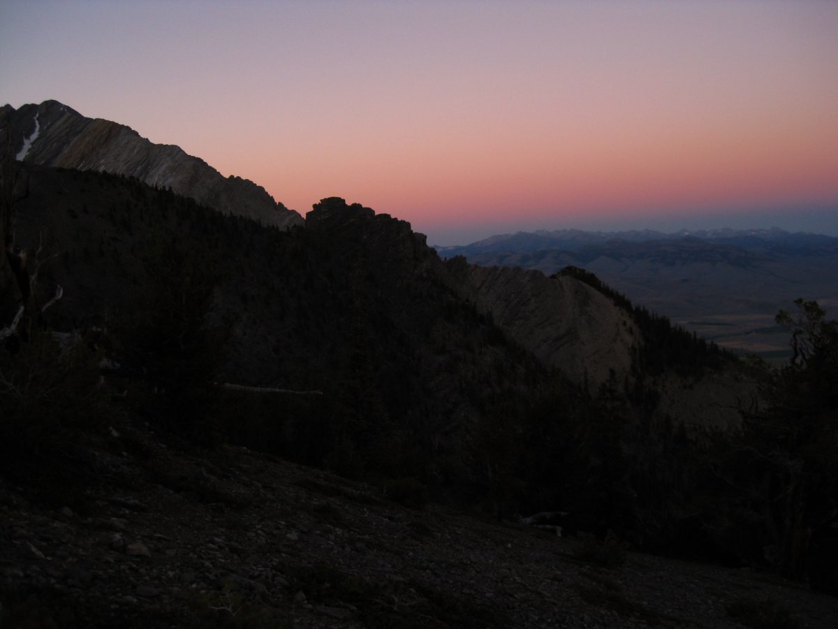
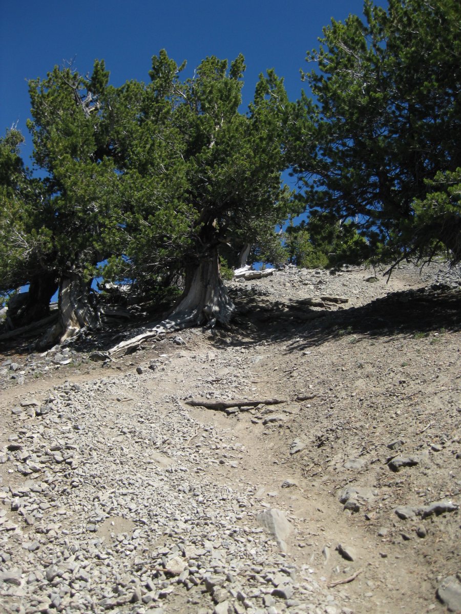
First rays of sunlight near the top of the tree line
His words left bit of a sick feeling in my stomach. After all, I am not a rock climber, and definitely have no desire to see the mountain from the bottom of the Chicken Out Ridge. But, soon my concerns moved into finding ways to stay warm. We camped just below the trail head parking lot, in a flat spot tucked away between trees. Aroh rolled out a tarp outside the car, and I hunkered down on the back seat. It was cold that night! I didn't bring a sleeping bag (no room in the suitcase) and my only cover was my beach towel. Plus the fleece and a wind breaker. Somewhere shortly after midnight I switched the car on to run the heater. The thermometer read 47F.

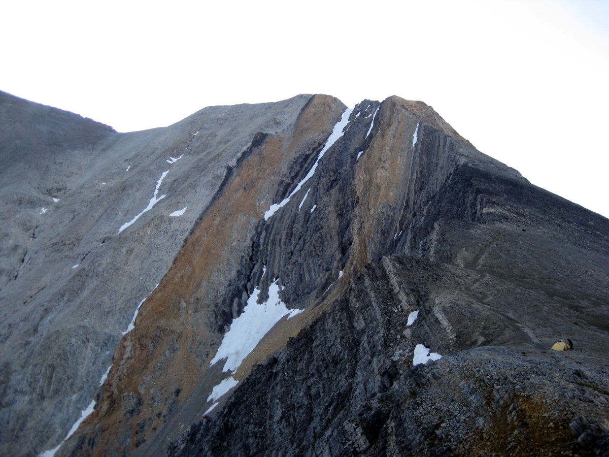
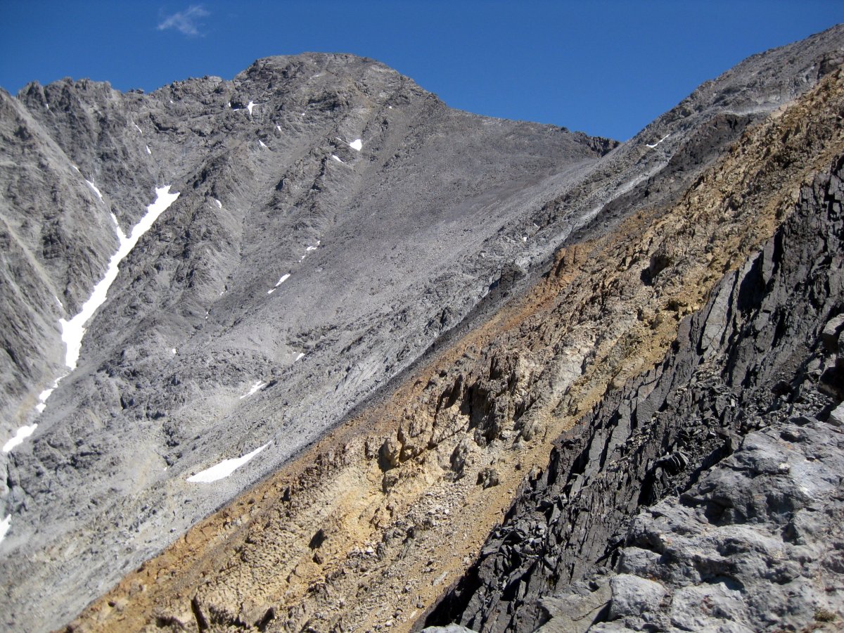
The mountain came to view once I got to the top of the ridge line. The summit is on the left and you can see a clear shot of the Chicken Out Ridge in the picture on the right (click for full size). The knife edge (where the guy fell) is the snow field at about 1 o'clock.
We hit the trail at 5am, under the most beautiful starlit sky. Living in the city, you forget just how spectacular the Milky Way is. The first few hours were hiked with help of our headlamps. Aroh was going much slower, so I pushed ahead the steep trail, hoping he'll catch up. Somewhere near the ridge line, a voice yelled out from the darkness. It was some other climbers, bivouacking up there for the shorter summit push. Then, near the bottom of the COR I came upon a tent, and later, ran into two guys descending from the mountain. They chickened out. So I pushed ahead, up to the COR.
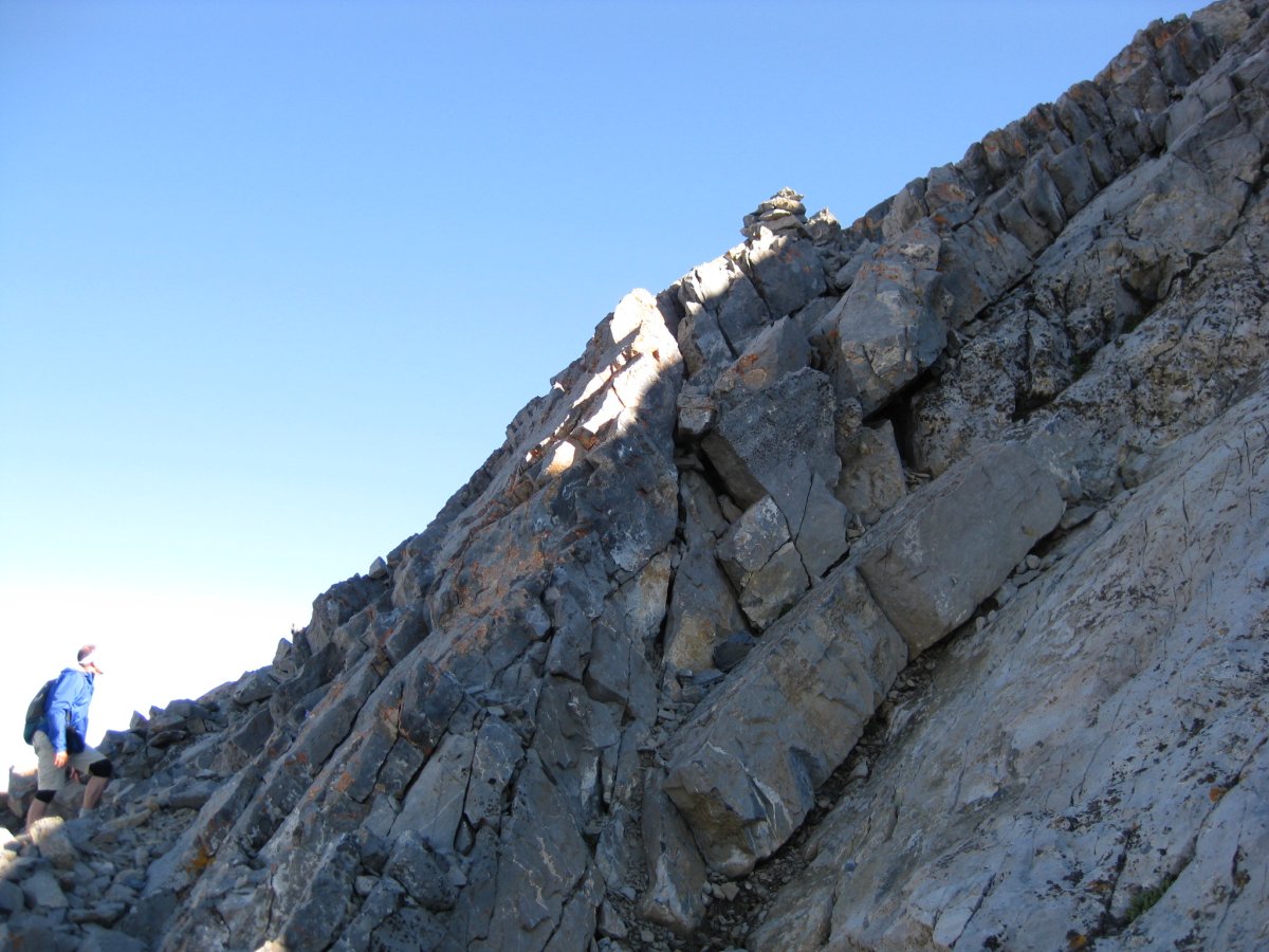
The name of the ridge is definitely quite fitting. Although none of the moves are particularly hard (there are only 2 or 3 sections where you have to stretch your body to reach the next food or hand hold), the exposure can be quite dramatic. The ridge itself is only some 20 feet wide, with vast drop offs in both directions. The trail first cuts below the ridge on the right to navigate an initial tricky up climb. From there you end up scrambling on the ridge until you reach the final down climb to the knife edge. I, however, spotted another trail to the left of the ridge so I took that. It was quite easy going this way, as there was only one tricky, ice covered patch, which I crossed with the help of my ice ax. This auxiliary trail joins up with the ridge just before the knife edge. This last section required bit of up climbing, but the rock was solid and holds plentiful. Looking down to the knife edge was bit stumping.
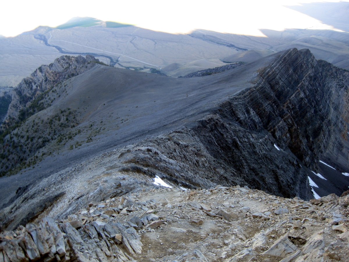

Looking back towards the parking lot and the breathtaking backdrops while climbing up COR.
This last 20 or so foot tall section looks bit daunting from the top, but it's not that difficult. The only trick is not to fall (d'uh!), unless you want to go for a long slide down. This is where the guy fell. I down climbed about half way down to the right side (facing the summit) of the central chute, and then cut over to the chute itself. This section of the chute here was shallow enough so I could basically just "walk" down. The knife edge was covered in hard-as-rock snow. I finally relaxed. The sun was out and I waited in the warmth until I heard Aroh calling out my name. He met up with few other guys on the way up and we all continued to the summit after a short break.
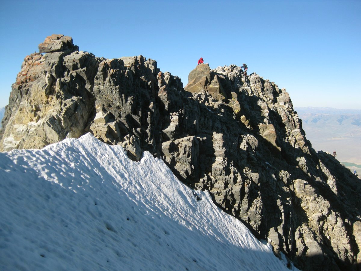
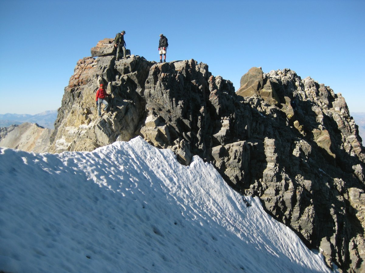
Here come the other guys. Final downclimb on the COR towards the ice covered knife edge. Both sides drop down few thousand feet to the valleys below.

With the peak in the background and view to the valley east.
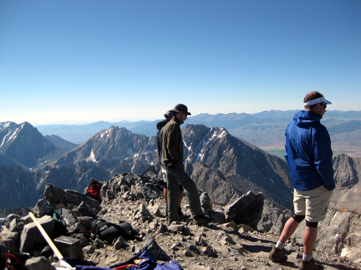
From the knife edge, there is a nice scree covered trail all the way to the top. This section, and also the scenery driving to the peak reminded me very much of Boundary Peak, and Southern California in general (just add Joshua Trees). At some point, me and another dude somehow got off the main trail, and we ended up scrambling to the summit. Only below the top I noticed the other guys doing their walk in the park along a nicely packed trail. We all reached the peak at about the same time, being the first group on top of Idaho on this beautiful day. #47!
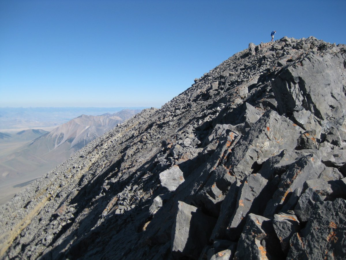
Scrambling up to the summit. That's because me and this other guy somehow got off trail.
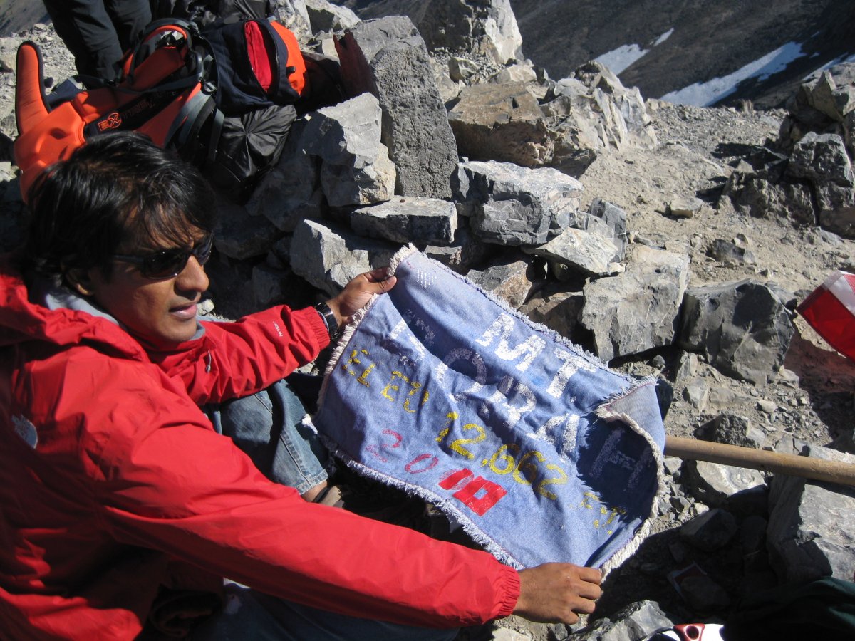
There were several neat items on the summit: flags of the United States, the state of Idaho and also this summit flag. Somebody even left a pair of golf clubs up there!
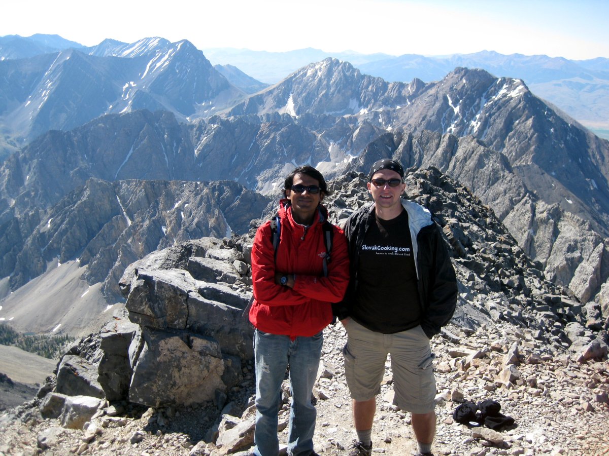
Few more summit shots (in my Slovak Cooking shirt)
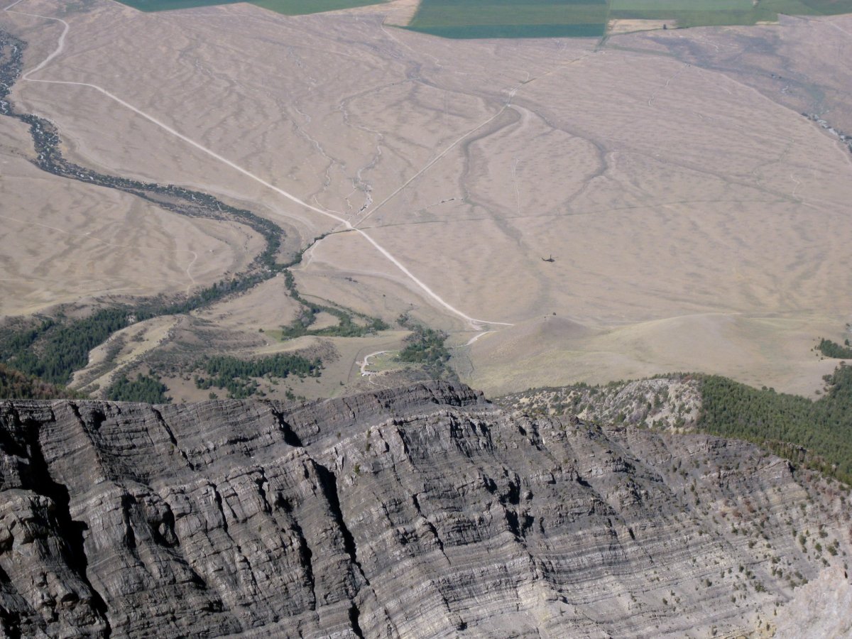
View back towards the parking lot with the rescue helicopter getting ready to pull out the fallen hiker
Somewhere below the summit, I heard a little "scrrr" coming from my pants, and sure enough, I found myself with a giant rip going down my pants. The second time this has happened! Somehow these rocky mountains and my pants don't get along, because the same thing happened on Katahdin. Good thing I don't wear tighty-whities... Going down felt bit more difficult than going up. First, I think I had bit of a summit fever on the ascent. Then, descending is always trickier since you don't have eyes in your feet. My knees (and also Aroh's) started bothering me, so we both whimpered down like a pair of senior citizens. We reached the summit around 9 and got back to the parking lot shortly after 2pm.


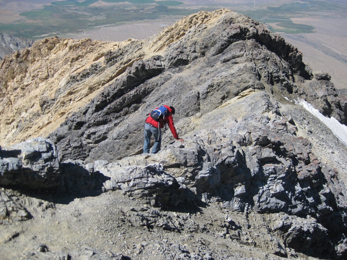
And heading back down. You can see the trail to COR clearly in the picture on the left.
Scrambling down COR and the last look back at the peak.
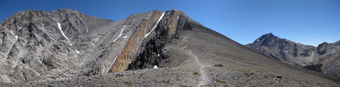
Panorama shot

Trail near the ridge line. My poor pants (and my poor exposed butt on the way down)!

And one final look back, from the place where the dirt road joins with US-93. On the way out, we stopped in a little shack in Mackay called Burger Time. There I got a mushroom swiss burger with cheese sticks, coke and vanilla shake for mere 7 bucks. What a great place!
This was a great, although quite tough, hike. Borah, along with Gannett (and maybe Rainier), were the only two highpoints where I felt I could easily fall down some cliff and not come back. And what about the fallen hiker? Turns out, he was being a moron. Instead of carefully walking across the knife edge, he decided to run across diagonally, perhaps to avoid waiting for the traffic jam of people descending to clear. He didn't make it. To the other side, that is. He lucked out, and was plucked away with no more than a broken foot. Quite impressive, given how deep the drop off is. But there are not too many boulders in the way, so he likely just slipped all the way to the bottom down the icy chute and came to rest on the scree. And for me, the next stop is Montana. That one actually requires rock climbing. So I have no excuse now, but to learn how to climb...
Comments or questions? message me